Stanford’s New Two Inch Map of London and its Environs. 1913

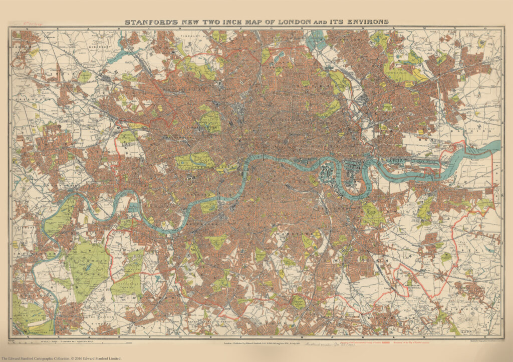
We are about to celebrate the 111th birthday of our Stanford’s New Two Inch Map of London and its Environs, 1913.

Published by Edward Stanford Ltd, 12,13 & 14 Long Acre . W.C . 1st July 1913.

This map from our Edward Stanford Cartographic Collection archive shows the capital the year before WW1 broke out at a scale of two inches to one mile. 
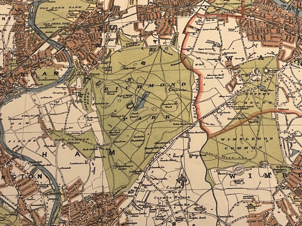
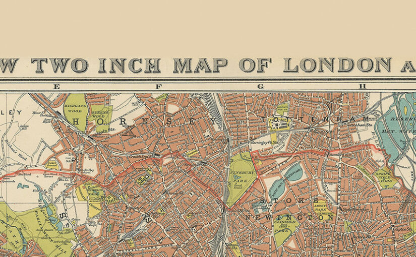
Richmond Park and Wimbledon Common sitting just outside the thick red line showing the Boundary of the Administrative Country of London

A thick red line shows the Boundary of the Administrative Country of London while a thinner red line shows the Boundary of the City of London.

Edwardian London saw a great deal of new building development which was halted by WW1 so not too many major changes would have occurred to this map for a few years.

Continue reading Stanford’s New Two Inch Map of London and its Environs. 1913
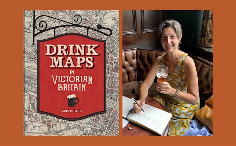
Author Event: Drink Maps in Victorian Britain by Kris Butler

“This is the story of drink maps, and it’s probably not what you think”

Last week we were joined by Kris Butler for a fascinating exploration of the history of alcohol in Victorian Britain via the ‘drink maps’ that were produced by the temperance movement to promote sobriety.

It’s not about pub crawls or plotted ale trails. Instead, these are maps with an agenda that was adamantly hostile to drinking alcohol, made by an organized faction known as the Temperance Movement. The logic at the time of the maps’ creation went as follows: if people are shown how many places there are to buy alcohol, they will be so appalled that they will join the effort to end drinking. In hindsight this logic is obviously flawed.’

Drink Maps in Victorian Britain explores how drink maps of cities were published to fight increasingly rampant alcohol consumption, from Liverpool,Manchester and Sheffield to Oxford, London, and Norwich.

Continue reading Author Event: Drink Maps in Victorian Britain by Kris Butler

Drink Maps in Victorian Britain

Kris Butler shares with us a map featured in her new book Drink Maps in Victorian Britain.

-By Kris Butler

Drink maps were created by anti-drinking groups to deter drinking, not encourage it. But you might not guess that when you first look at them, given that they exaggeratedly and colourfully show where to find a drink. What this 1877 map, called One Half-Mile Square in the Heart of London, lacks in colour it made up for in size. The original was a whopping 8 foot by 8 foot, floor-to-ceiling backdrop to a traveling temperance lecture given by Dr Thomas Nichols. This image is of the pocket version; the larger one is not known to have survived.

Continue reading Drink Maps in Victorian Britain

10 Maps we are talking about

Get your cartographic fix right here with these 10 maps that have caught our attention recently:

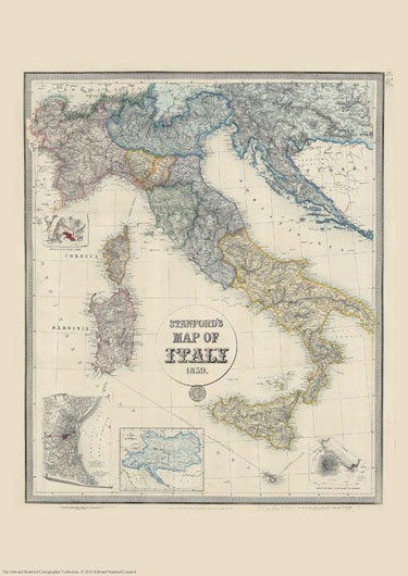
Stanford’s Map of Italy (1859)

£19.99

We are celebrating this map’s 165th birthday. It was originally published on 2nd May 1859 by Edward Stanford.


The map catches the country in an interesting stage of its history, just before the unification, and still shows the individual states: the Kingdom of Piedmont – Sardinia, the Grand Duchy of Tuscany, the Kingdom of the Two Sicilies, the Papal States, etc, all in different colours. Hachures are used to show the spine of the Apennines and other mountainous regions.


Interesting insets show enlargements of the environs of Venice, Genoa and Naples with Vesuvius, and another panel presents the whole of the Austro-Hungarian Empire which then still included Lombardy and north-eastern Italy.

This reproduction is Print on Demand so is available in other sizes.

Continue reading 10 Maps we are talking about

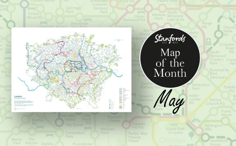
Map of the Month: London Greenground Map

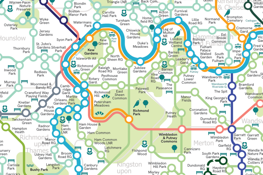
Our Map of the Month for May is the London Greenground Map by graphic designer and map maker Helen Ilus.

Exclusive to Stanfords this Spring/ Summer.

The London Greenground Map is the largest greenground map to date – connecting 1,200 green spaces with 20 inspirational lines for exploring the London-wide network of parks, rivers, nature reserves, woods and wetlands. Covering all London boroughs so that every neighbourhood can find nature on their doorstep.

Continue reading Map of the Month: London Greenground Map

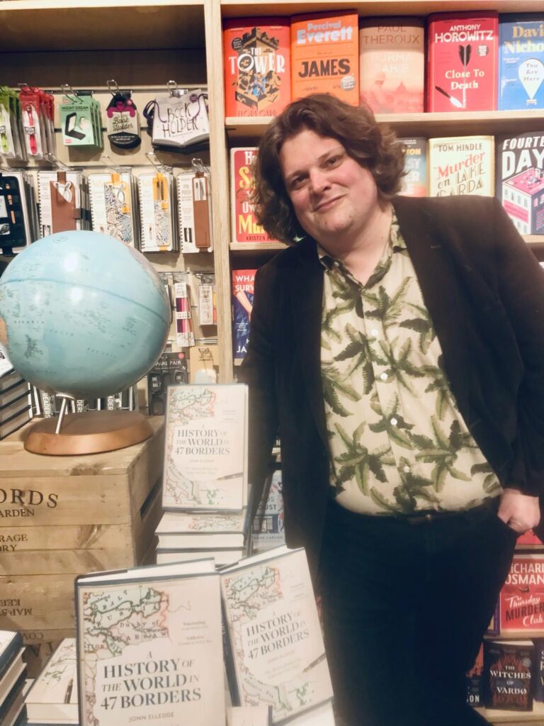
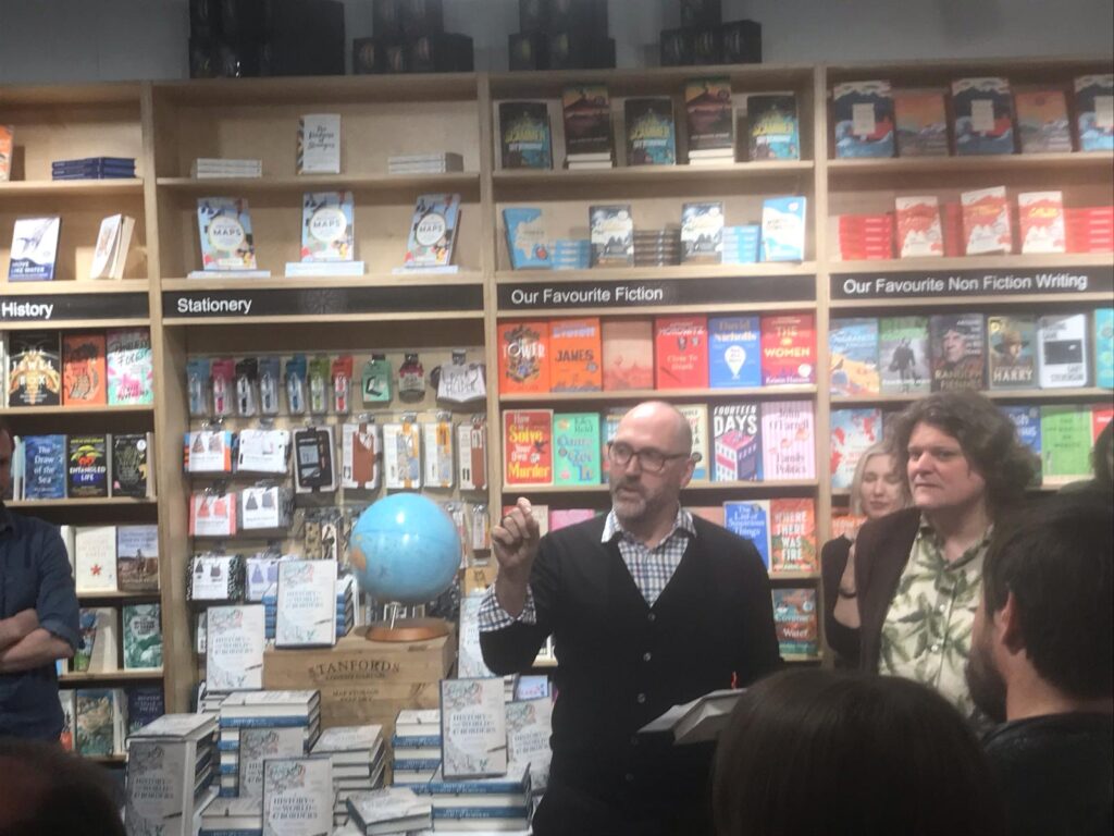
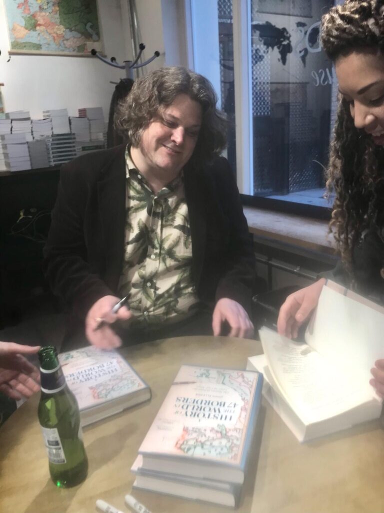
Book Launch: A History of the World in 47 Borders by Jonn Elledge

Last night we hosted the launch of a very “Stanfords’ book; A History of the World in 47 Borders: The Stories Behind the Lines on Our Maps by Jonn Elledge.

Continue reading Book Launch: A History of the World in 47 Borders by Jonn Elledge

Map of the Month: The Lakes 100

Our Map of the Month for April is The Lakes 100 Map . The Lakes 100 is a circular journey uniquely tailored for you to get the most out of the Lake District and beyond. There are over 150 miles to explore with boundless gems to discover along the way that will quench any thirsty adventurous soul.

Being a family run business ourselves, we love hearing about other family run enterprises. The team behind the Lakes 100 are Cumbrian brothers Peter and Aaron who came up with the idea for this road trip. They initially did the road trip together with a group of friends so they could share the experience and get some feedback. Now you can follow the trip yourself with their map.

Continue reading Map of the Month: The Lakes 100

IMIA Map Industry Summit 2024

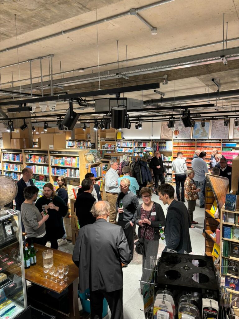
Yesterday we celebrated the International Map Industry Association (IMIA) Industry Summit sponsored by Harper Collins. Following the Mapping Forum at the Harper Collins offices, we hosted the third annual Industry Social in our Stanfords Covent Garden store.

The IMIA Summit is a fantastic opportunity to network with other members and associates and reflect on industry trends.

We had a great time connecting with industry colleagues over drinks while looking at our extensive map collection and participating in a fun Map Quiz.

If you are interested in joining the IMIA and joining us at events like this you can do so via this link: imiamaps.org/how-to-join

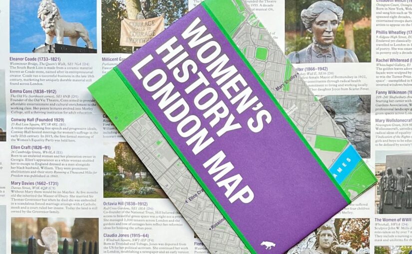
NEW MAP: Women’s History London Map

This new map has conveniently arrived on our shelves just in time for International Women’s Day and Mother’s Day.

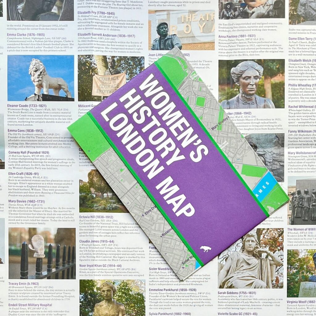
Explore London through the lens of women’s history. This Women’s History London Map highlights 50 statues, sculptures, blue plaques, gravestones, buildings and monuments – dedicated to women such as Millicent Garrett Fawcett, ​​Virginia Woolf, Aphra Benn, Ada Lovelace and Phillis Wheatley. 

With an introduction and descriptions by Katie Wignall, author, city history tour guide and Londoner, and original photography by Jo Underhill, the map guide is a companion to begin exploring the lives of some of London’s most impactful women, and to inspire the next generation to continue their work.

Women’s History London Map is available now for £9.95

Map of the Month: The Ultimate UK Cycle Route Planner

‘It is by riding a bicycle that you learn the contours of a country best, since you have to sweat up the hills and coast down them.’- Hemmingway

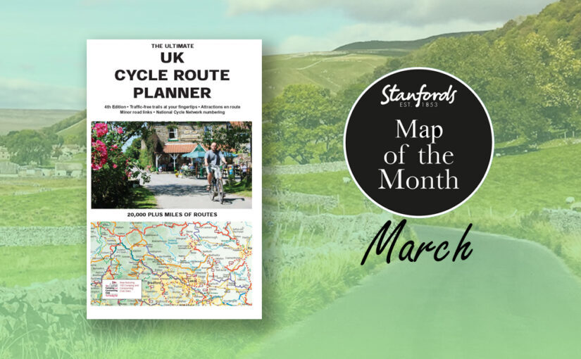
Our Map of the Month for March is The Ultimate UK Cycle Route Planner.

This best selling UK cycle publication gives an overview of all the main signed UK cycle routes – the only publication that has all these together on one single map.

This map features:

Continue reading Map of the Month: The Ultimate UK Cycle Route Planner