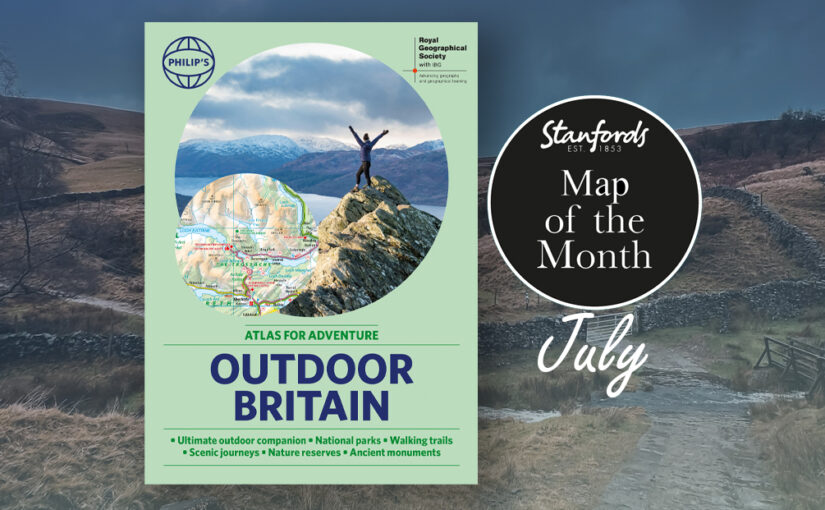
Ever wanted to explore Britain’s finest National Parks, go surfing on the best beaches or follow the Pilgrims’ Trail? Philip’s RGS Outdoor Britain maps it all, from the majestic heights of the Scottish Highlands to the lush valleys of Wales and all the heritage and activities in between.
This ultimate outdoor companion clearly illustrates all the parks, trails, long distance footpaths, pilgrim routes and much more. So grab your boots (or swimmers), pack your rucksack, and reconnect with nature.
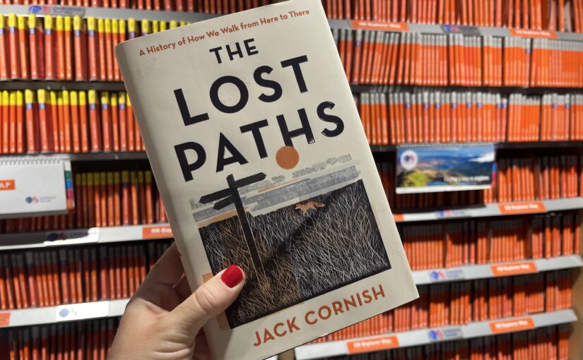
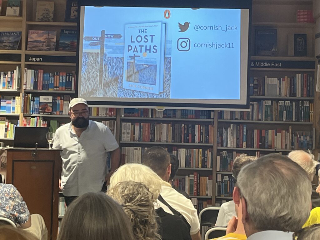
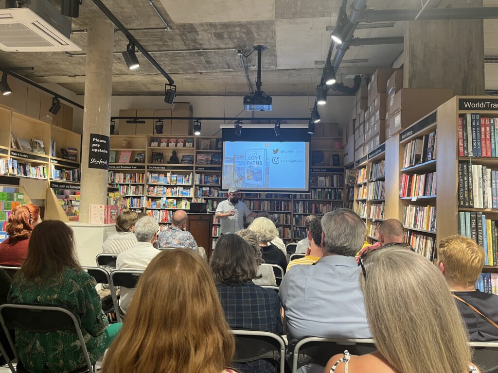
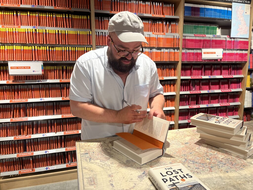
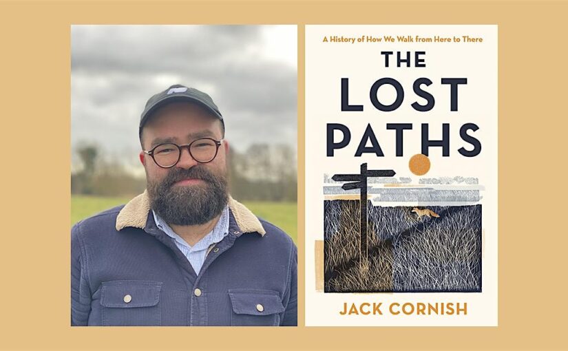
Last night we hosted an event with Jack Cornish and heard all about his new book Lost Paths.
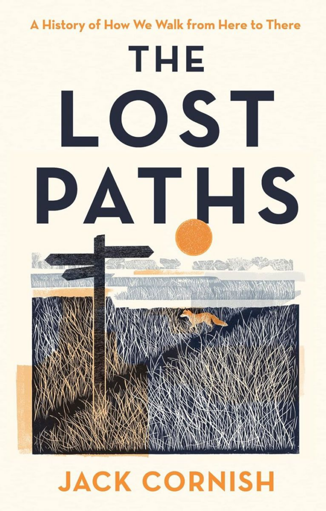
Hundreds of thousands of miles of paths reach into, and connect, communities across England and Wales. By 2026, 10,000 miles of undiscovered footpaths around Britain stand to be lost. Jack Cornish has dedicated the last five years of his life to walking these forgotten routes, and this book, The Lost Paths, is the result. It is Jack Cornish’s hope that The Lost Paths will show just how special these forgotten rights of way are, and how embedded each path is in the history of Britain.
Footpaths, tracks, country lanes and urban streets illuminate how our ancestors interacted with and shaped their landscapes in the pursuit of commerce, salvation, escape, war, and leisure. Paths are an often-overlooked part of our everyday life and our country’s history, crucial to understanding the cultural and environmental history of us in the landscape.
After dedicating his time and energy to fighting for their survival, The Lost Paths is Jack’s personal journey and exploration of the deep history of English and Welsh footways. This narrative history takes us through ancient forests, exposed mountainsides, urban back streets and coastal vistas to reveal how this millennia-old network was created and has been transformed.
This is a celebration of an ancient network and a rallying cry to reclaim what has been lost and preserve it for future generations.
The Lost Paths is available now for £20. We have signed copies while stocks last.
In my recently published book, The Lost Paths, I explore the paths which reach into – and connect – communities across England and Wales. A network of paths which reveal how our ancestors have interacted with and shaped their surroundings over millennia. On the paths I discovered hundreds of stories – tales of love, commerce, death, graft and communication.
There are over 140,000 miles of recorded public rights of way in England and Wales, which started to be proactively and legally recorded from the early 1950s onwards. But tens of thousands more are missing from the maps, lying unclaimed and unprotected. So, as well as a celebration of an ancient network, I hope The Lost Paths will serve as a call to arms to reclaim and save our old paths – to preserve our history on foot. Below are some of my top tips for finding lost paths along with some of the paths that captivated me when writing The Lost Paths.
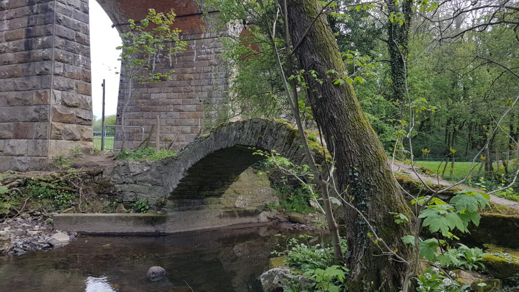
Look out for old stiles, bridges and fords – Often paths leave an impression, they are physical objects in the landscape. They are perhaps at their most tangible when they cross boundaries, natural and manmade. In The Lost Paths, I write about a lost path I walked in Lancashire, well used but not recorded as a public right of way. A wide track, with grass banks which merge into the surrounding hedges, with trees standing alongside as sentinels which mark the gentle drifts and curves of the lane. At its southern end, the path crosses a river – a quietly enchanting, almost hidden spot. In the riverbed can be seen the cobbles of an old ford and above the water, a beautiful, hunched packhorse bridge. These are tell-tale signs that the public have been coming this way for hundreds of years. Just some of the physical clues, alongside objects like old worn stiles buried in a hedge, that you may be looking at a lost public path.
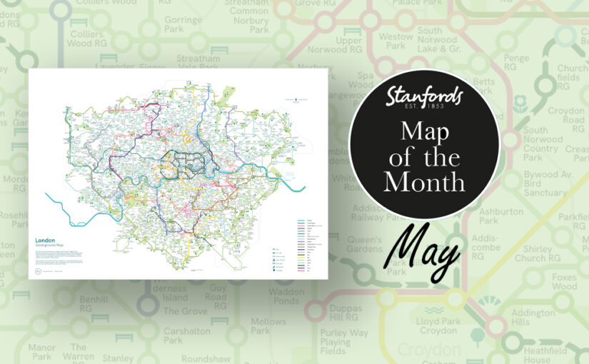
Our Map of the Month for May is the London Greenground Map by graphic designer and map maker Helen Ilus.
Exclusive to Stanfords this Spring/ Summer.
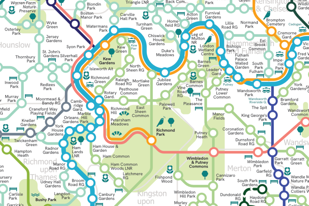
The London Greenground Map is the largest greenground map to date – connecting 1,200 green spaces with 20 inspirational lines for exploring the London-wide network of parks, rivers, nature reserves, woods and wetlands. Covering all London boroughs so that every neighbourhood can find nature on their doorstep.
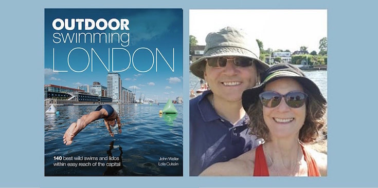
Do you live or work in London? In town for a visit? Do you enjoy swimming outdoors and are looking for new places to swim? The new guidebook Outdoor Swimming London takes you on an aquatic tour to bring you 140 best wild swims, lakes and outdoor pools, all in or within easy reach of the capital.
John Weller and Lola Culsán share five of their favourite places to swim on the periphery of London: all accessible by tube, train, boat or bike. Perfect for an adventurous day out.
Hello, I’m Gail Muller and I’m delighted to introduce my book ‘Unlost’ and share some of my favourite top tips for getting outside and exploring. These tips are practical and actionable, even if you don’t feel confident or experienced. The great outdoors is for all of us, and there is joy, learning, resilience, and peace to be found out there – just beyond your doorstep.
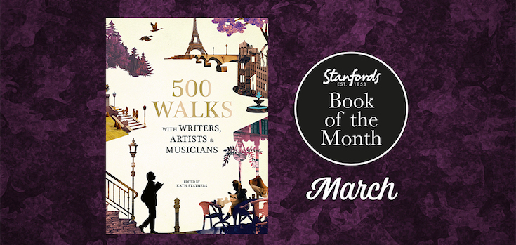
Back by popular demand, Stanfords Book of the Month for March celebrates many different types of walks.
Follow the footsteps of writers, artists and musicians in this carefully researched collection of walking routes covering every continent, state, province and territory. Accompanied by full-colour photography and illustrated maps, 500 Walks with Writers, Artists and Musicianstakes a culture trip through a series of inspiring strolls, treks and hikes in accessible countryside, national parks, remote wilderness and the great cities of the world.