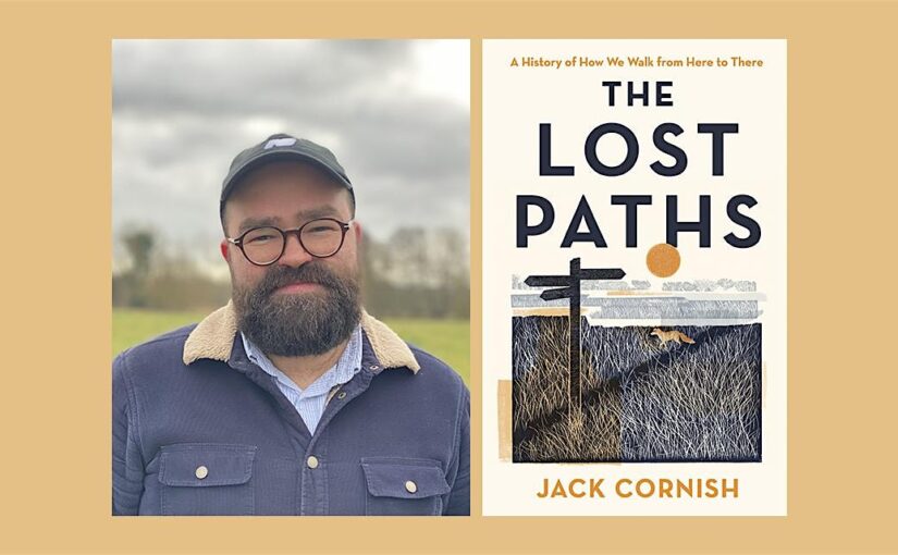
Guest Blog Post by Jack Cornish
In my recently published book, The Lost Paths, I explore the paths which reach into – and connect – communities across England and Wales. A network of paths which reveal how our ancestors have interacted with and shaped their surroundings over millennia. On the paths I discovered hundreds of stories – tales of love, commerce, death, graft and communication.
There are over 140,000 miles of recorded public rights of way in England and Wales, which started to be proactively and legally recorded from the early 1950s onwards. But tens of thousands more are missing from the maps, lying unclaimed and unprotected. So, as well as a celebration of an ancient network, I hope The Lost Paths will serve as a call to arms to reclaim and save our old paths – to preserve our history on foot. Below are some of my top tips for finding lost paths along with some of the paths that captivated me when writing The Lost Paths.
Look out for old stiles, bridges and fords – Often paths leave an impression, they are physical objects in the landscape. They are perhaps at their most tangible when they cross boundaries, natural and manmade. In The Lost Paths, I write about a lost path I walked in Lancashire, well used but not recorded as a public right of way. A wide track, with grass banks which merge into the surrounding hedges, with trees standing alongside as sentinels which mark the gentle drifts and curves of the lane. At its southern end, the path crosses a river – a quietly enchanting, almost hidden spot. In the riverbed can be seen the cobbles of an old ford and above the water, a beautiful, hunched packhorse bridge. These are tell-tale signs that the public have been coming this way for hundreds of years. Just some of the physical clues, alongside objects like old worn stiles buried in a hedge, that you may be looking at a lost public path.
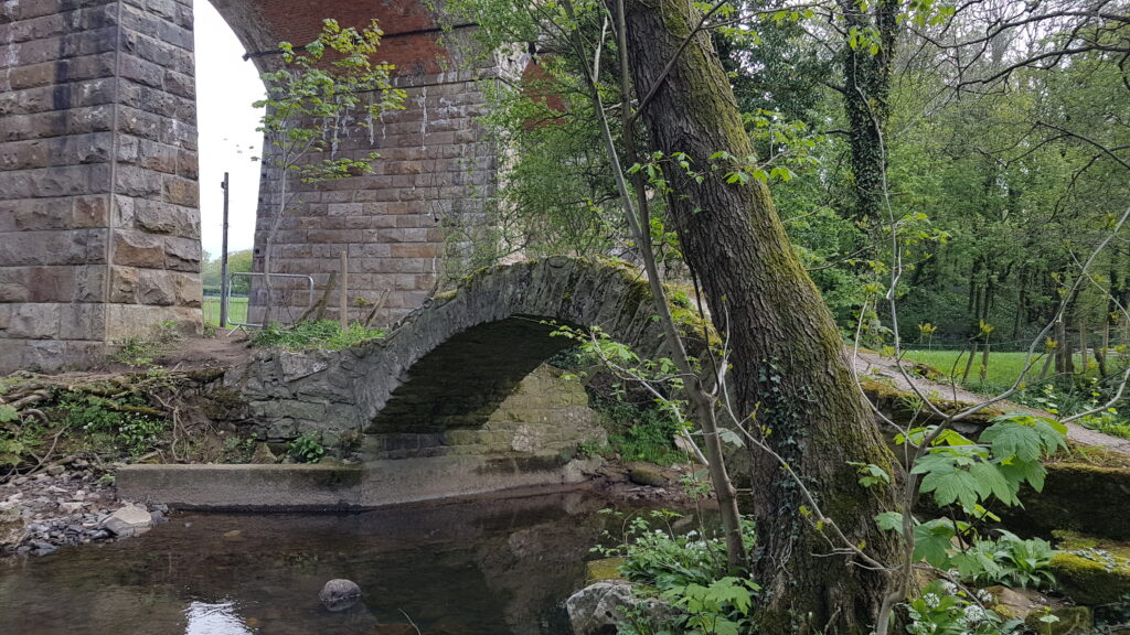
Packhorse bridge on a lost path
On a path to nowhere? – Have you ever found yourself on a path which is a dead end, which just stops in the middle of nowhere? Some of these are understandable, routes from the past that led to an important place – well-worn pathways to wells, churches or mills. But some are much less comprehensible. Because of the way that our public paths were first proactively recorded in the 1950s onwards, parish by parish and county and county, there are hundreds of paths which now just stop at the parish or county (or even country) boundary, the rest of the path forgotten by those on the other side. Others have been left as dead ends by some the major forces which have impacted the landscape of Britain – paths which have been washed into the sea (an ever-increasing threat from a changing and extreme climate) or severed by the building of motorways and reservoirs. Or, like the path I walked in Lincolnshire, cut off by the laying down of an airfield during the Second World War (airfields which covered the same area as modern-day Bedfordshire!). Some of these paths may be lost forever under the development of subsequent generations but some can be put back on the map, to live again and be open to the public for generations to come.
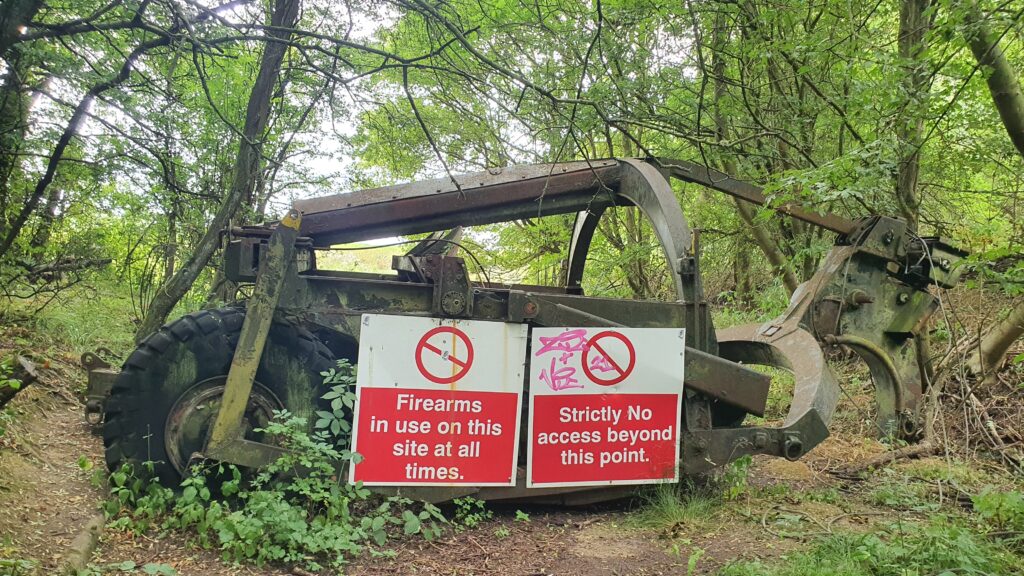
Dead end map at an airfield in Lincolnshire
Spot the ‘White roads’ – Some of my favourite paths I walked in the Lost Paths are those which took animals to market – the drove roads. The long-distance ones, which ran for hundreds of miles, can often be found in remote locations – today in some of our most beautiful walking lands (I walked one in the North York Moors). These carried hundreds of thousands of animals from the Highlands of Scotland and the mountainous interior of Wales to major cities across the country. Others were more local, perhaps spanning a few counties, such as the one I explored which ran from Daventry to Oxford. This road is now walkable and recorded only in fragments – bits of tarmacked roads, footpaths, bridleways and byways. But parts of it remain lost, such as the section I encountered in Wotton Underwood in Buckinghamshire. Here it can be seen simply marked on the modern Ordnance Survey map with a set of parallel black lines, named on the map as ‘Oxford Lane (Track)’. It’s perhaps easy to miss amongst all the coloured roads and reassuring green dashes of public rights of way around. There are hundreds of these so-called ‘white roads’ on the OS map, many of them lost paths waiting to be reclaimed.

The Dorsetshire Gap
Study the old maps – In a leaf-darkened woodland in Dorset is an extraordinary meeting of four paths. These paths have been worn down by thousands of feet and hooves into remarkably deep holloways. Paths are the oldest part of our heritage still in use for their original purpose and those that meet at what has become known as ‘the Dorsetshire Gap’ as amongst our oldest, used continually from prehistory to the present day. But even here, paths have disappeared from the map. The Ordnance Survey from 1900 shows that we there are lost footpaths and bridleways on the chalk hills around. It is by studying the old maps that we can find some of our strongest clues to a lost path. Volunteers from the Ramblers scoured the same OS map from over 130 years ago to identify over 49,000 miles of potential lost paths across England and Wales (you can see all the paths they found here). And when saving lost paths, volunteers turn to the old maps (such as tithe maps, enclosure records and railway plans) for the evidence to put the path back on the map. So, take a look at some of the old maps available from the National Library of Scotland, or the Ramblers directory of maps available online, to see if you can spot a lost path in your area.
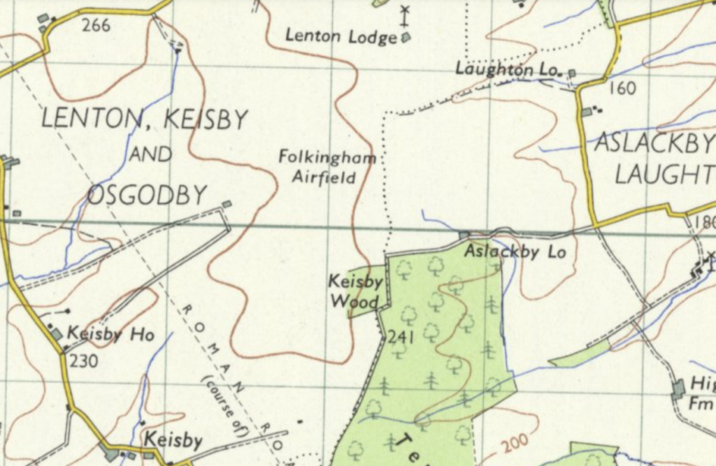
RAF Folkingham – Reproduced with the permission of the National Library of Scotland https://maps.nls.uk/
The Lost Paths by Jack Cornish is available now for £20.
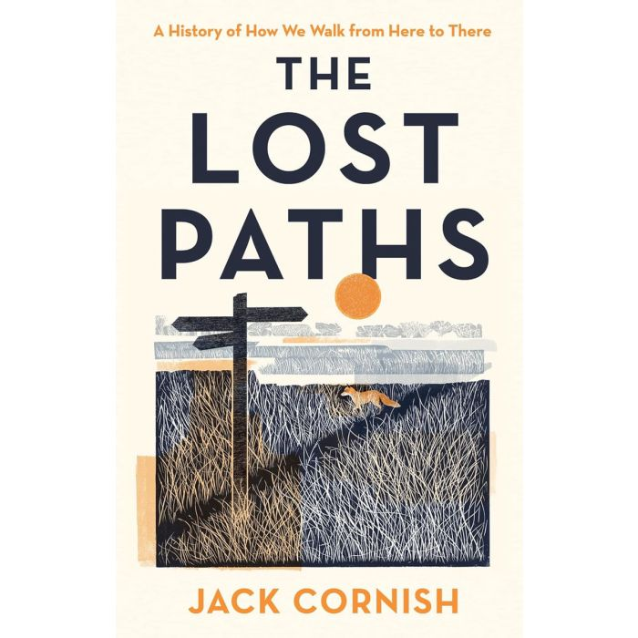
Join us on Thursday 20th June as we welcome Jack Cornish to Stanfords to talk about his new book. GET TICKETS.