Journalist and broadcaster Louise Minchin has travelled a lot for work, but also while researching her non-fiction title Fearless, which detailed the lives of 17 extraordinary women, in places as diverse as Argentina, Finland and Alcatraz. Talking about this, and her new thriller, Isolation Island, set on a remote Scottish island, Louise discusses the delights and challenges of a working trip with Ann Morgan.
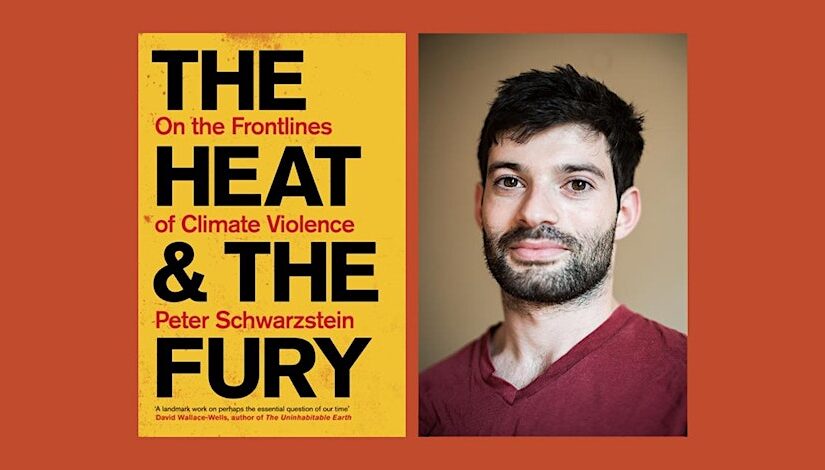
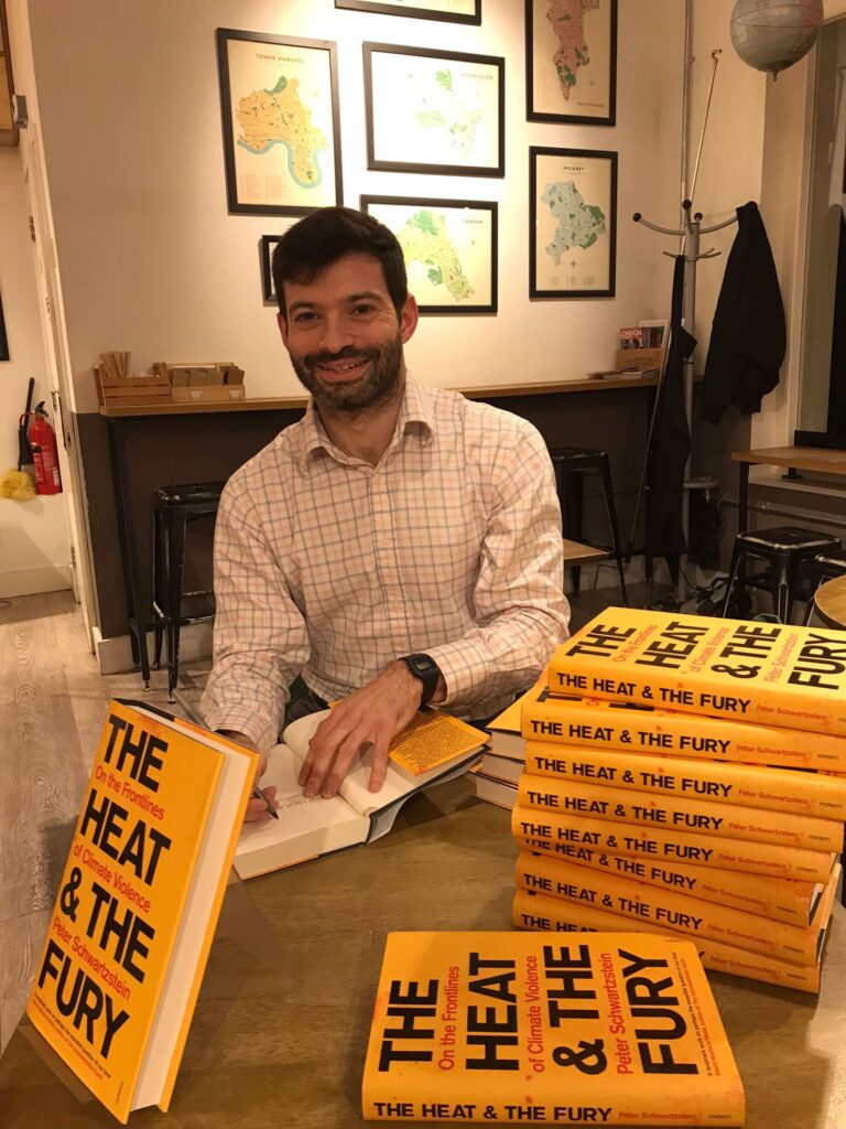
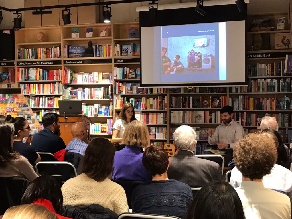
It was a full house tonight at Stanfords as we hosted Peter Schwartzstein in conversation with Henrietta Hunter, talking about his new ground-breaking book The Heat and the Fury: On The Frontline of Climate Violence, the first on-the-ground exploration of climate change’s contribution to global conflict.
From the ravaged villages of Iraq, where ISIS has used drought as a recruiting tool and weapon of terror, to the pirate-ridden waters of Bangladesh – and drawing on more than a decade of reporting from dozens of countries – Schwartzstein writes about the unexpected ways in which climate change is feeding global unrest and conflict. Through the stories of the soldiers, farmers, spies and others affected around the world, he makes sense of a form of conflict that remains poorly understood, even as it devastates the lives of so many millions of people.
While researching this book, Schwartzstein was chased by kidnappers, detained by police and told, in no uncertain terms, that he was no longer welcome in certain countries. Yet, as he recounts, these personal brushes with violence are simply a hint of the conflict simmering in our warming world.
As Schwartztein’s unparalleled reporting shows, there’s nothing inevitable about climate violence. In fact, as he sets out, the same stresses that are pitching people against one another can even help bring them back together.
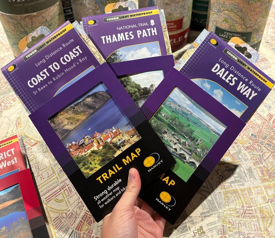
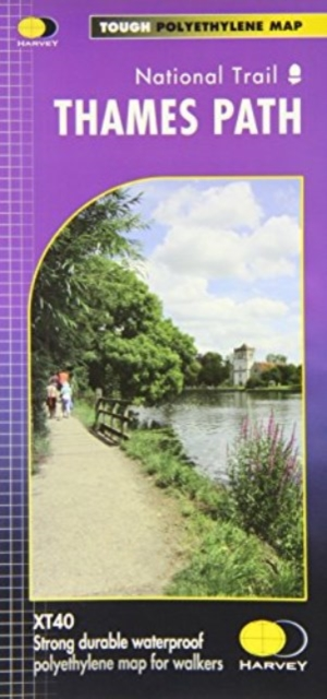
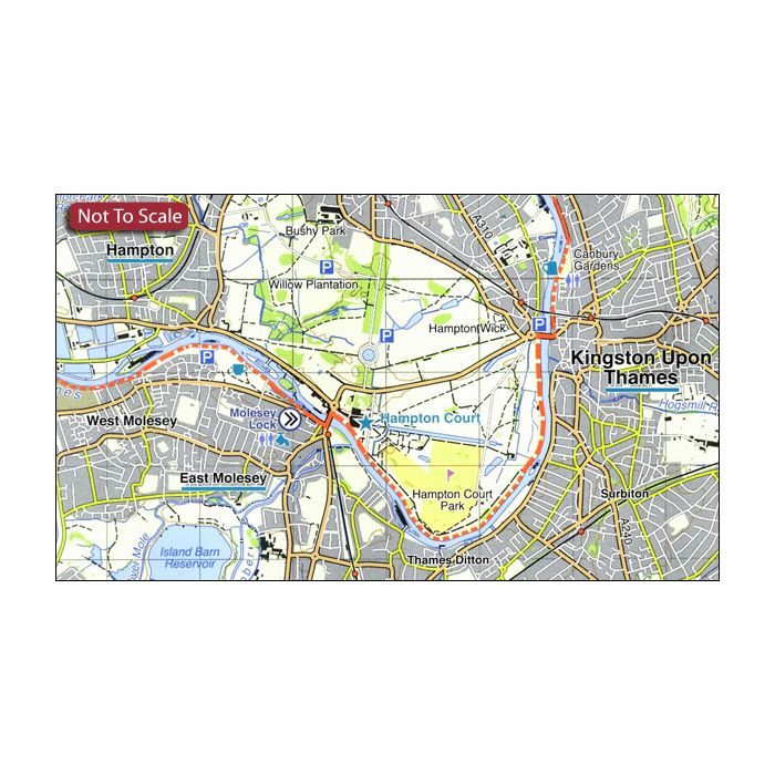
This #mapmonday we are talking about the National Trail maps by Harvey Maps. A week’s walking – usually the entire Trail – on a single sheet. The maps are conveniently laid out in panels with the route clearly highlighted in red.
The detail you need for sure navigation
Clear 1:40,000 scale mapping with full legend
Full legend
Can be used with GPS
National Grid for accurate reference
Information on finding accommodation, camping, food
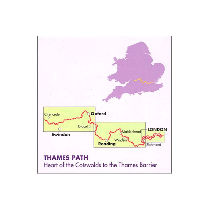
The Thames Path follows the banks of the river for 184 miles (294km) from the flood barrier at Woolwich in South East London to Kemble Gloucestershire. It is a long distance walking route, most of it cannot be cycled. The Trail passes through water meadows, historic towns and lovely villages.
The path is flat which makes for easy walking. Jos Joslin National Trails Manager (Marketing & Projects) said of this map, “Really beneficial to have the whole length of the Thames Path upstream of London on just one map. Clear mapping and useful information makes this this a very practical map.”
This map is printed on 100% waterproof paper which is light, durable and tearproof.
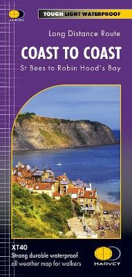
This map shows the whole of the Coast to Coast long distance walking route. The Coast to Coast is a 307km (192 miles) walking route across northern England, passing through the Lake District, Yorkshire Dales and North York Moors National Parks. It connects the west coast (St Bees) with the east coast (Robin Hood’s Bay).
This map shows the entire route split into sections. Tough, light, durable and 100% waterproof.
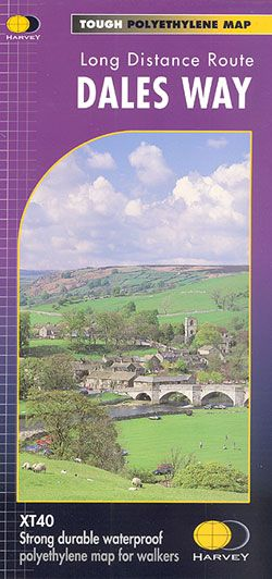
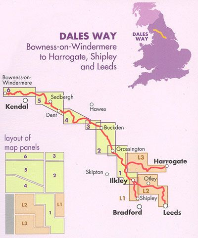
The Dales Way, a 135km / 85 mile route in the Yorkshire Dales and the Lake District National Parks, presented at 1:40,000 on a map from Harvey Map Services. The route itself, between Ilkley and Bowness-on-Windermere, is shown on six panels, with additional three panels covering the access to the start of the Dales Way in Ilkley from Leeds, Harrogate or Shipley near Bradford.
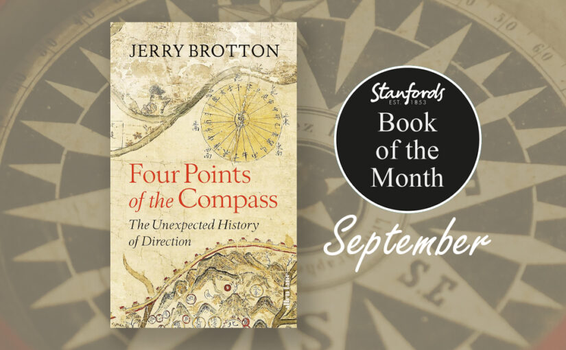
North, south, east and west: almost all societies use the four cardinal directions to orientate themselves, to understand who they are by projecting where they are. For millennia, these four directions have been the foundation of our navigation and exploration and are central to the imaginative, moral and political geography of virtually every culture in the world. Yet they are far more subjective, various and contradictory than we might realise.
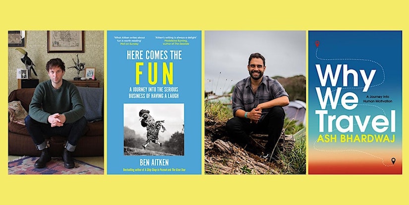
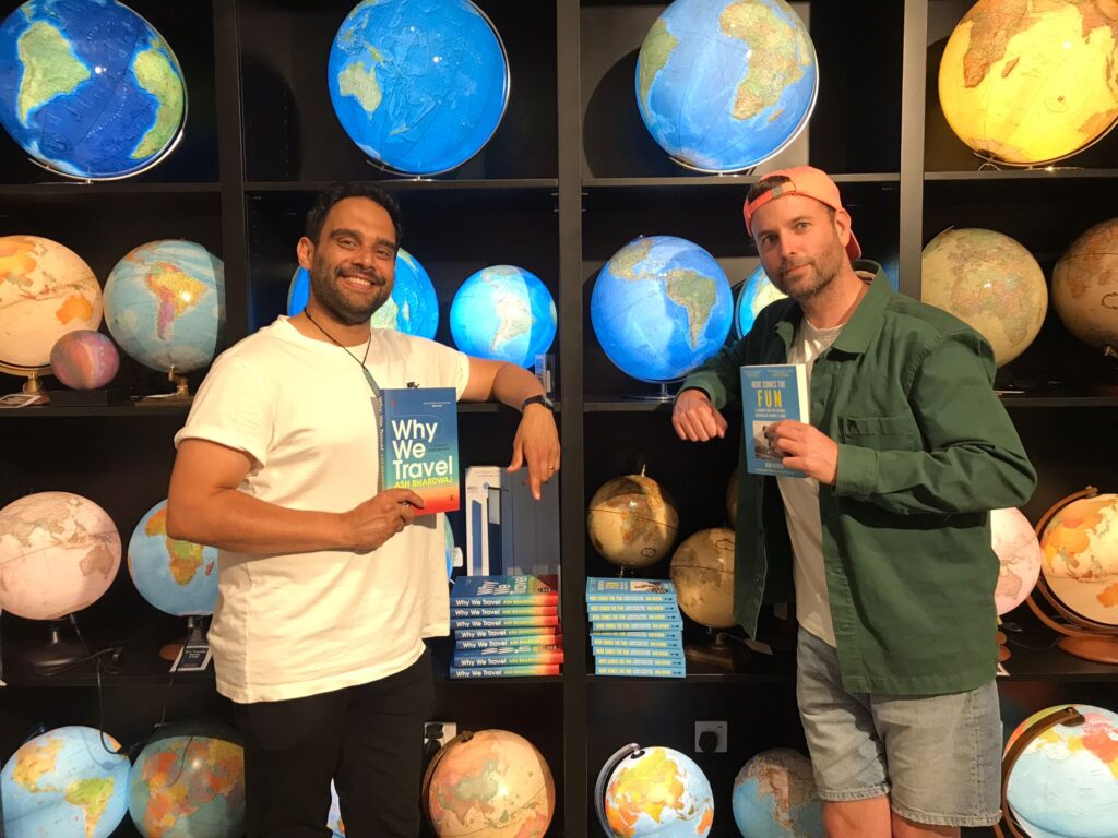
Last night we hosted a wonderful conversation with travel writers Ben Aitken and Ash Bhardwaj where they talked about their latest books Here Comes the Fun and Why We Travel. They spoke about discovering the connections between our need for fun and our desire for travel, and exploring how a bit more of each can enrich our lives and boost our wellbeing – without breaking the bank or the planet.
Back in 2018 the UN proclaimed the 20th May as World Bee Day to raise awareness on the importance of pollinators, the threats they face and their contribution to sustainable development.
Here are some things on our shelves that show our love for bees:
With Spring officially beginning on 20th March, we can definitely feel it in the air here in Covent Garden. If you are looking for ways to bring the outside into your home we have a few products that will bring in the spring.
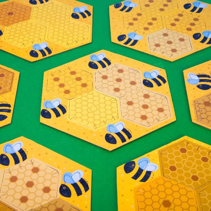
Enjoy a classic game of dominoes with a 3D beehive twist. Create a unique beehive in every game with the slot-together pieces or construct a stunning sculpture to decorate your room.
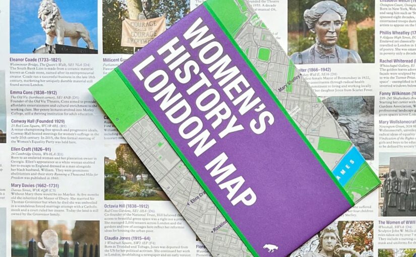
This new map has conveniently arrived on our shelves just in time for International Women’s Day and Mother’s Day.
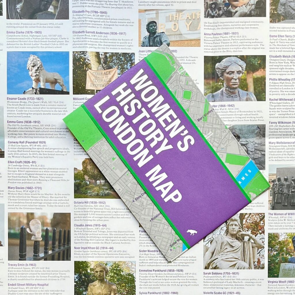
Explore London through the lens of women’s history. This Women’s History London Map highlights 50 statues, sculptures, blue plaques, gravestones, buildings and monuments – dedicated to women such as Millicent Garrett Fawcett, Virginia Woolf, Aphra Benn, Ada Lovelace and Phillis Wheatley.
With an introduction and descriptions by Katie Wignall, author, city history tour guide and Londoner, and original photography by Jo Underhill, the map guide is a companion to begin exploring the lives of some of London’s most impactful women, and to inspire the next generation to continue their work.
An adventure story – with a difference. Jessica Hepburn is an unlikely athlete – she was labelled the ‘arty’ not the ‘sporty’ one in school. She hates exercise and believes the only reason to do it is for food, booze and box-sets on the sofa. However, in her forties, following a succession of hard and sad life experiences she started to try and exercise her way out of heartbreak.
Seven years ago, a group of intrepid Ukrainians set out to explore their home country with the aim to document its nature, people and customs. And so, the volunteer-led multimedia project Ukraïner was born. The product of several years and 100,000 km of travel is showcased in their newly published book Inside Ukraine: A Portrait of a country and its people.
‘Ukraïner began as an attempt to express what characterized Ukraine to the people I met as I travelled around the world’ explains Bogdan Logvynenko, one of the founding members of Ukraïner. He continues: ‘I found myself describing my country and hometown … After I returned home from my journeys around the world, I wanted to find a description of this modern-day country; a short but eloquent answer to the question, ‘Where are you from?’’
‘In June 2016, a group of other like-minded people and I set off on an adventure, or as we decided to call it, an expedition. We announced our idea to explore Ukraine and unveil it to the world on social media. Within a few days we received hundreds of messages and several thousand subscribers. With this, our multimedia project Ukraïner was launched.’