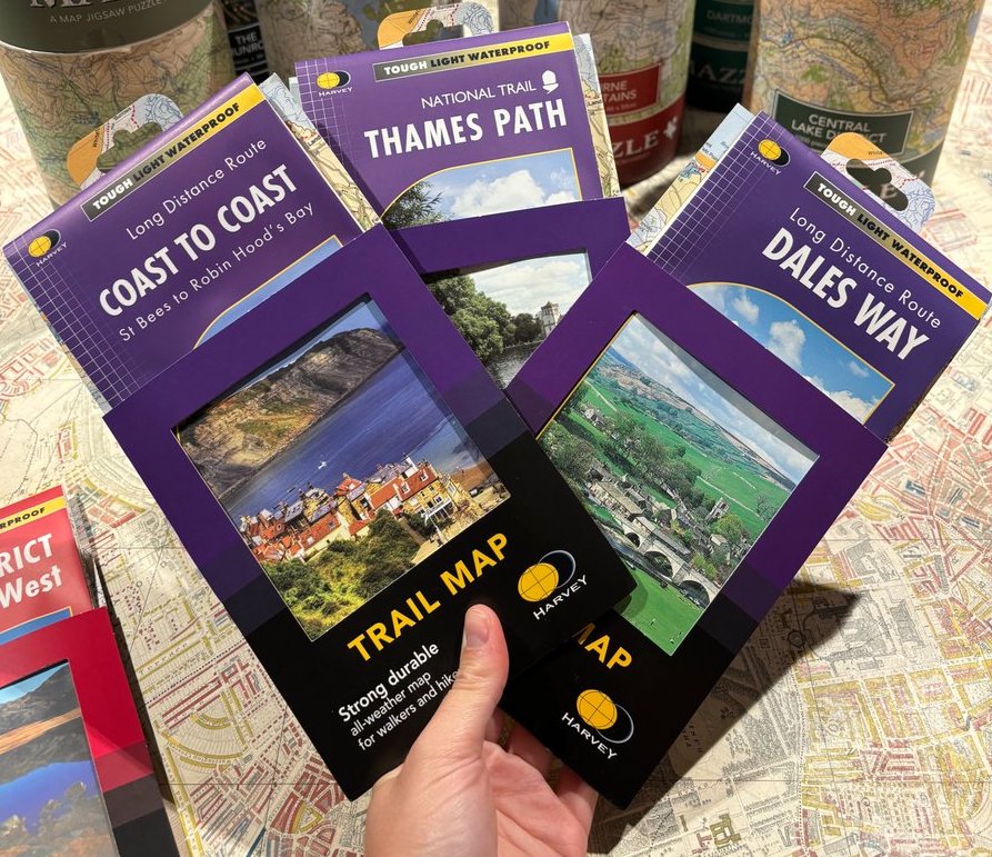
This #mapmonday we are talking about the National Trail maps by Harvey Maps. A week’s walking – usually the entire Trail – on a single sheet. The maps are conveniently laid out in panels with the route clearly highlighted in red.
- The detail you need for sure navigation
- Clear 1:40,000 scale mapping with full legend
- Full legend
- Can be used with GPS
- National Grid for accurate reference
- Information on finding accommodation, camping, food
- Introduction to the route
- Tips on weather and clothing
- Directions to start
- Shows facilities available in towns and villages
- Ranger Service contact numbers
- XT40 HARVEY Trail Maps are 100% waterproof
- Tough and hard wearing
- Half the weight of a laminated map
Here are 3 of our favourites:
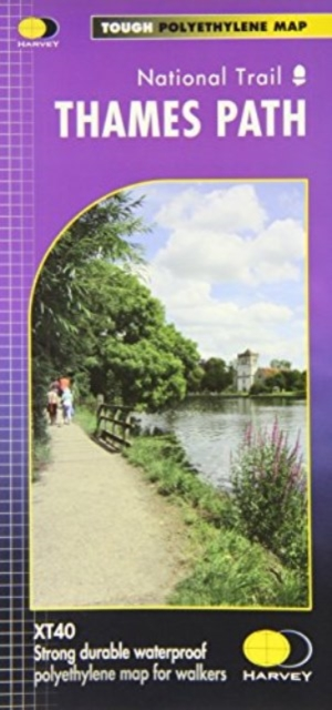
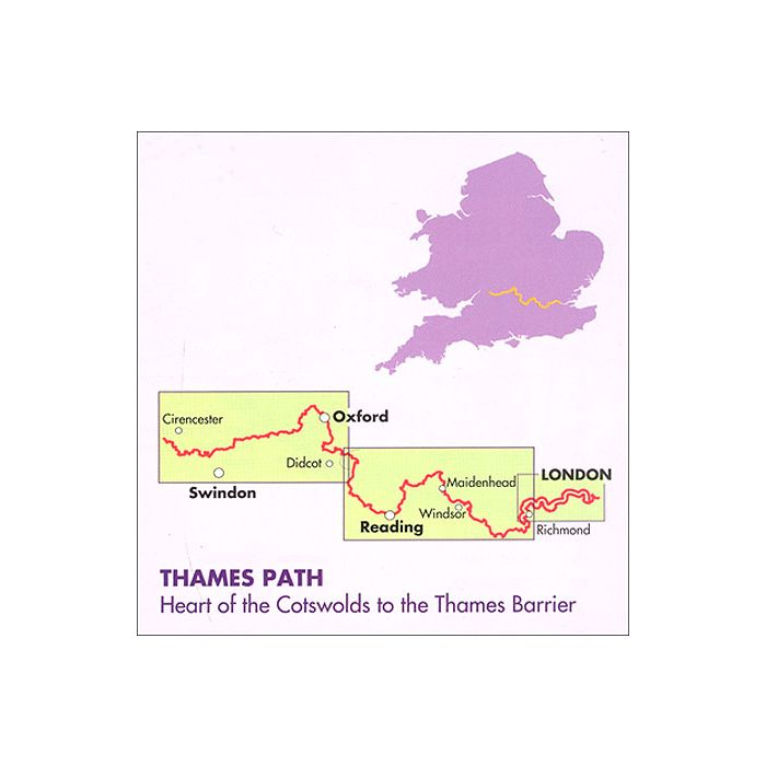
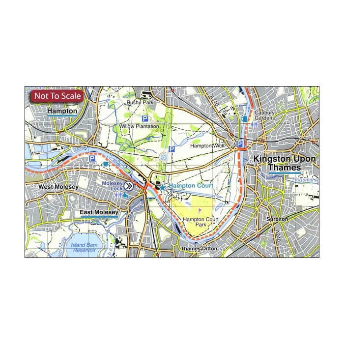
Thames Path Harvey National Trail XT40
£15.95
The Thames Path follows the banks of the river for 184 miles (294km) from the flood barrier at Woolwich in South East London to Kemble Gloucestershire. It is a long distance walking route, most of it cannot be cycled. The Trail passes through water meadows, historic towns and lovely villages.
The path is flat which makes for easy walking. Jos Joslin National Trails Manager (Marketing & Projects) said of this map, “Really beneficial to have the whole length of the Thames Path upstream of London on just one map. Clear mapping and useful information makes this this a very practical map.”
This map is printed on 100% waterproof paper which is light, durable and tearproof.
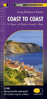
Coast to Coast – St Bees to Robin Hood’s Bay Harvey XT40 National Trail Map
This map shows the whole of the Coast to Coast long distance walking route. The Coast to Coast is a 307km (192 miles) walking route across northern England, passing through the Lake District, Yorkshire Dales and North York Moors National Parks. It connects the west coast (St Bees) with the east coast (Robin Hood’s Bay).
This map shows the entire route split into sections. Tough, light, durable and 100% waterproof.
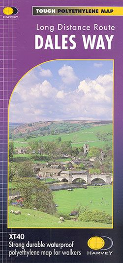
Dales Way Harvey National Trail XT40
£15.95
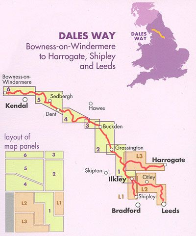
The Dales Way, a 135km / 85 mile route in the Yorkshire Dales and the Lake District National Parks, presented at 1:40,000 on a map from Harvey Map Services. The route itself, between Ilkley and Bowness-on-Windermere, is shown on six panels, with additional three panels covering the access to the start of the Dales Way in Ilkley from Leeds, Harrogate or Shipley near Bradford.