Map of the Month: David Bowie’s London

“I don’t know where I’m going from here, but I promise it won’t be boring” – David Bowie

Our Map of the Month for March 2025 is David Bowie’s London by Herb Lester Associates, written by Paul Gorman, design & illustration by Kit Russell.

This meticulously researched guide reveals the streets, studios, and secret spaces that shaped one of the 20th century’s most transformative artists.

From the back streets of Brixton to the Victoria & Albert Museum, each location tells a story of Bowie’s remarkable metamorphosis. 

Trace his journey through 61 pivotal sites: recording studios where groundbreaking albums were born, bohemian enclaves that nurtured his radical creativity, and underground clubs that became launching pads for entire cultural movements.

Continue reading Map of the Month: David Bowie’s London
NEW MAP: London Flipped

Urban Good launches London Flipped, the first ever full-size upside down map of London. This innovative map offers a unique perspective on the capital, challenging conventional viewpoints and inviting Londoners and visitors alike to explore the city in a whole new way.

A Fresh Take on London

London Flipped rotates the traditional map of London by 180°, placing south at the top and north at the bottom. This playful yet thought-provoking reorientation is designed to disrupt conventional navigation and encourage users to reimagine their spatial relationships with the city.

Continue reading NEW MAP: London Flipped

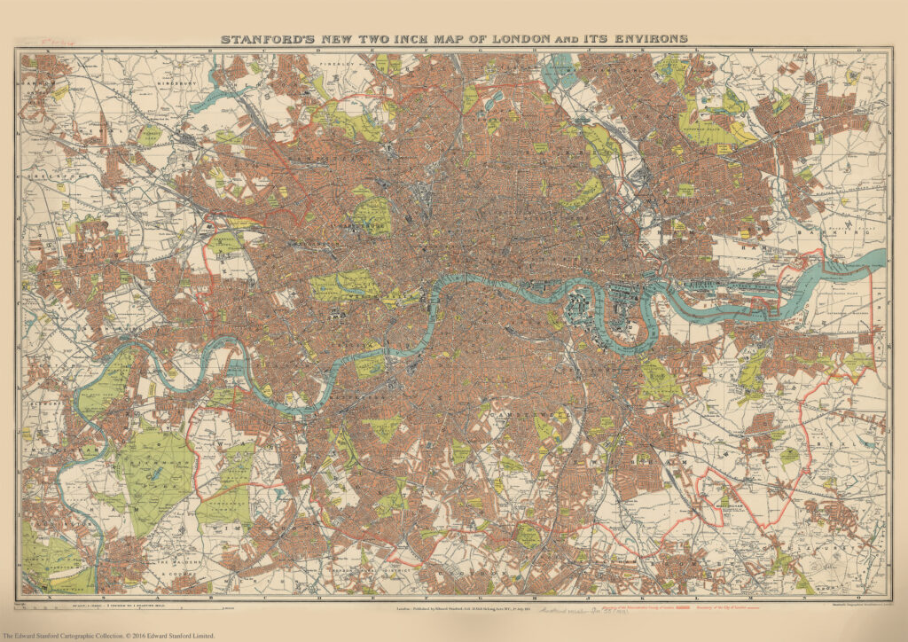
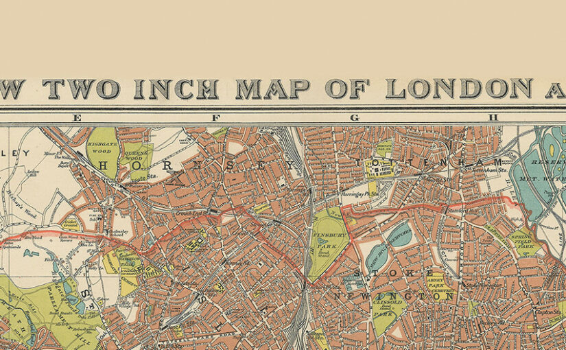
Stanford’s New Two Inch Map of London and its Environs. 1913

We are about to celebrate the 111th birthday of our Stanford’s New Two Inch Map of London and its Environs, 1913.

Published by Edward Stanford Ltd, 12,13 & 14 Long Acre . W.C . 1st July 1913.

This map from our Edward Stanford Cartographic Collection archive shows the capital the year before WW1 broke out at a scale of two inches to one mile. 

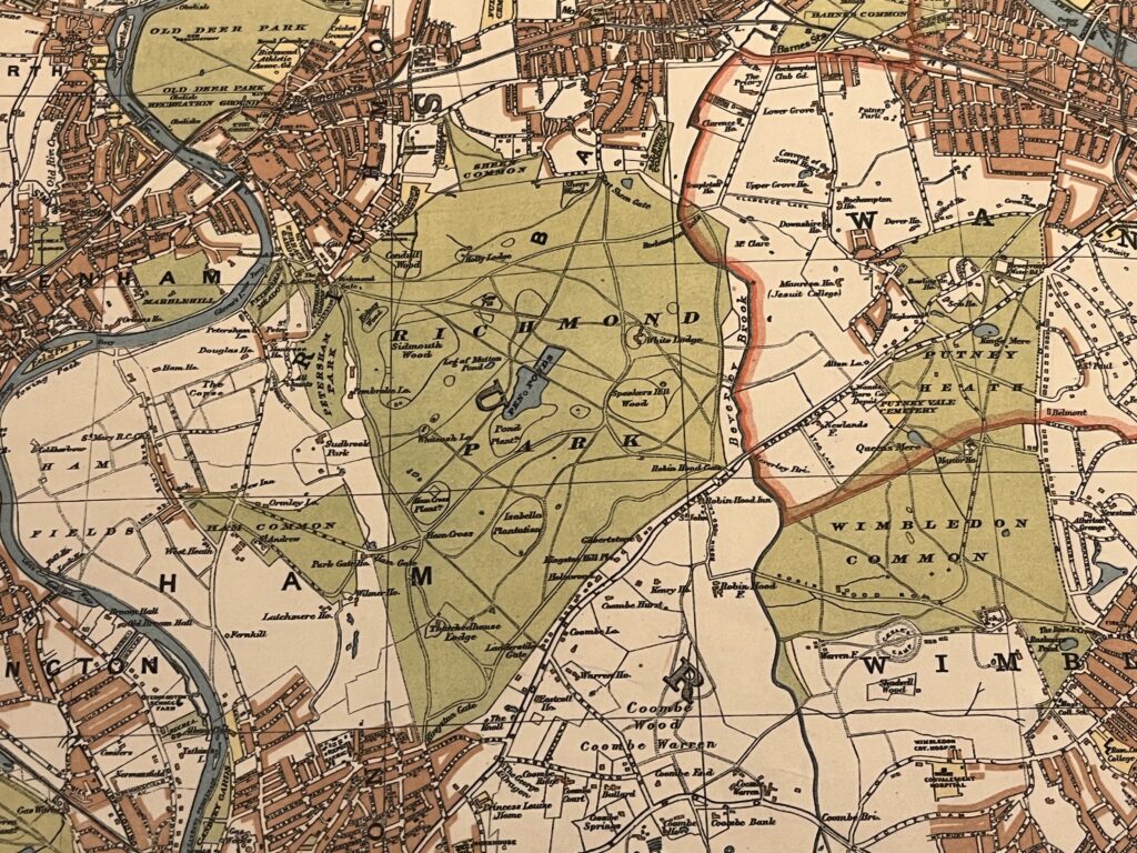
Richmond Park and Wimbledon Common sitting just outside the thick red line showing the Boundary of the Administrative Country of London

A thick red line shows the Boundary of the Administrative Country of London while a thinner red line shows the Boundary of the City of London.

Edwardian London saw a great deal of new building development which was halted by WW1 so not too many major changes would have occurred to this map for a few years.

Continue reading Stanford’s New Two Inch Map of London and its Environs. 1913

Map of the Month: London Greenground Map

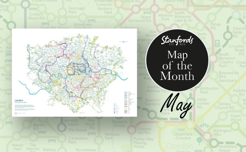
Our Map of the Month for May is the London Greenground Map by graphic designer and map maker Helen Ilus.

Exclusive to Stanfords this Spring/ Summer.

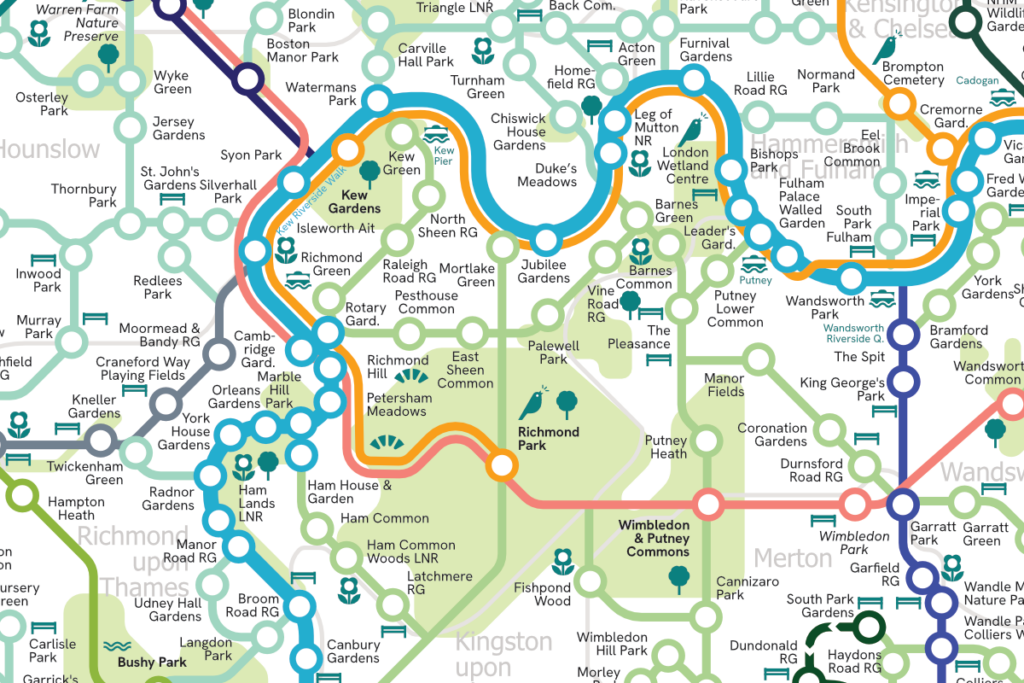
The London Greenground Map is the largest greenground map to date – connecting 1,200 green spaces with 20 inspirational lines for exploring the London-wide network of parks, rivers, nature reserves, woods and wetlands. Covering all London boroughs so that every neighbourhood can find nature on their doorstep.

Continue reading Map of the Month: London Greenground Map

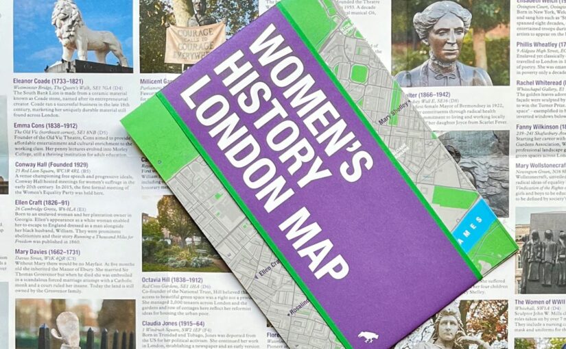
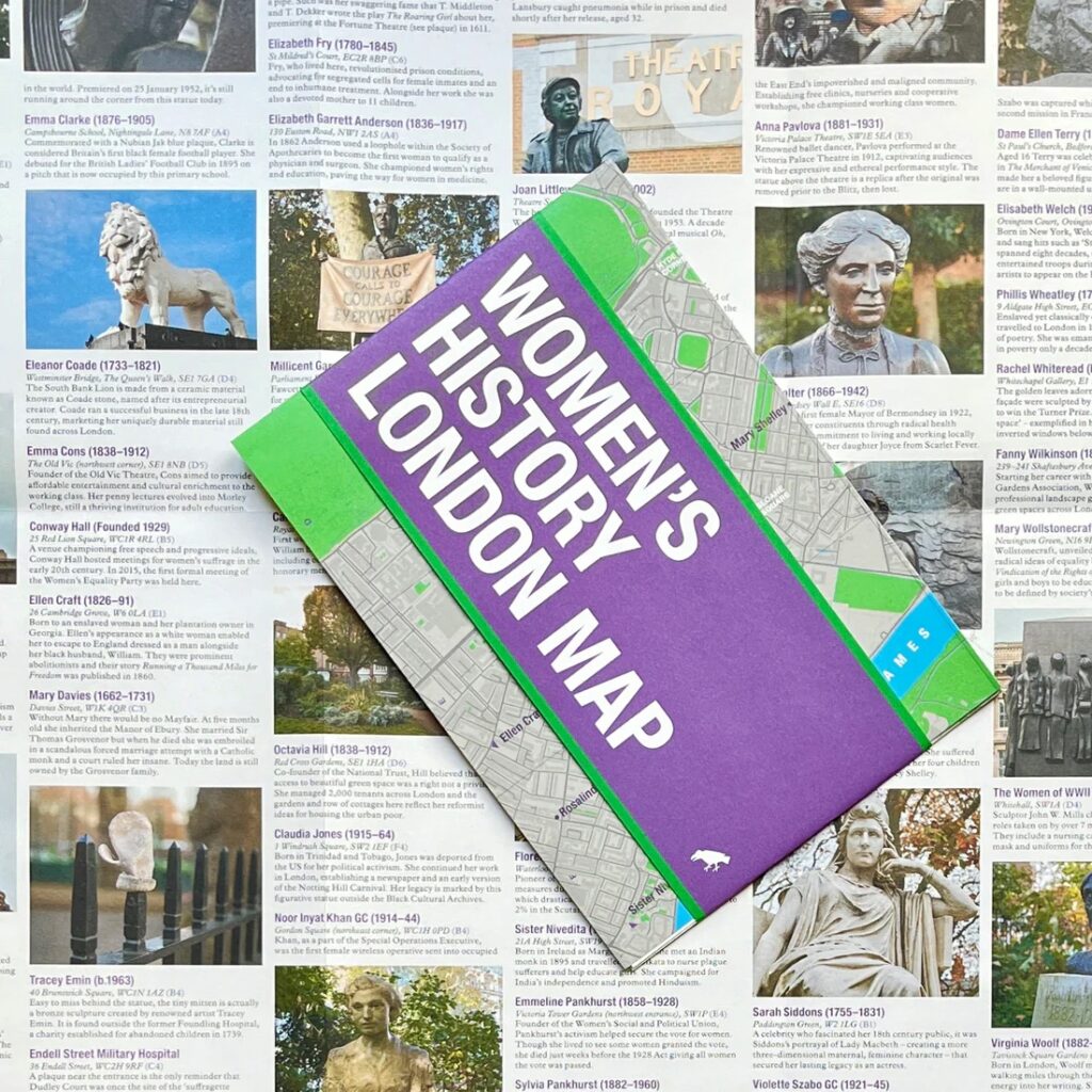
NEW MAP: Women’s History London Map

This new map has conveniently arrived on our shelves just in time for International Women’s Day and Mother’s Day.

Explore London through the lens of women’s history. This Women’s History London Map highlights 50 statues, sculptures, blue plaques, gravestones, buildings and monuments – dedicated to women such as Millicent Garrett Fawcett, ​​Virginia Woolf, Aphra Benn, Ada Lovelace and Phillis Wheatley. 

With an introduction and descriptions by Katie Wignall, author, city history tour guide and Londoner, and original photography by Jo Underhill, the map guide is a companion to begin exploring the lives of some of London’s most impactful women, and to inspire the next generation to continue their work.

Women’s History London Map is available now for £9.95

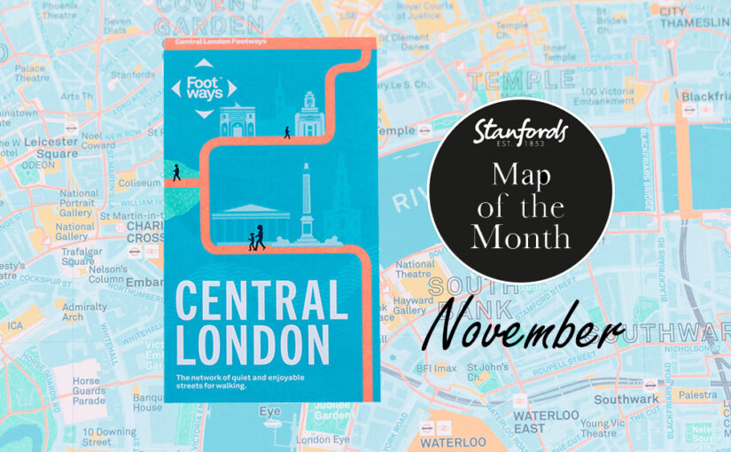
Map of the Month: Central London Footways Map

Our Map of the Month for November 2022 is the Central London Footways: the network of quiet and enjoyable streets for walking.


This beautiful printed map is designed to help people plan enjoyable A-to-B walks in central London. The Footways team spent more than three years plotting and testing the walking routes, connecting London’s stations and key destinations with the capital’s most interesting, quiet and enjoyable streets.

Continue reading Map of the Month: Central London Footways Map

AmazingWorld Children’s Maps

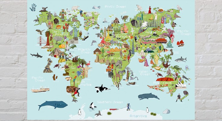
The latest addition to our map department are these seven new AmazingWorld children’s A2 wall maps.

These lovingly crafted maps introduce little ones to the many wonders awaiting them around the world. Spark up conversations and fuel their curiosity to guide them as they discover more about the animals, foods, people, places, cultures, and plants across the globe.


Build their knowledge and develop an understanding of the similarities and differences that connect them to people & places around the world.

Continue reading AmazingWorld Children’s Maps

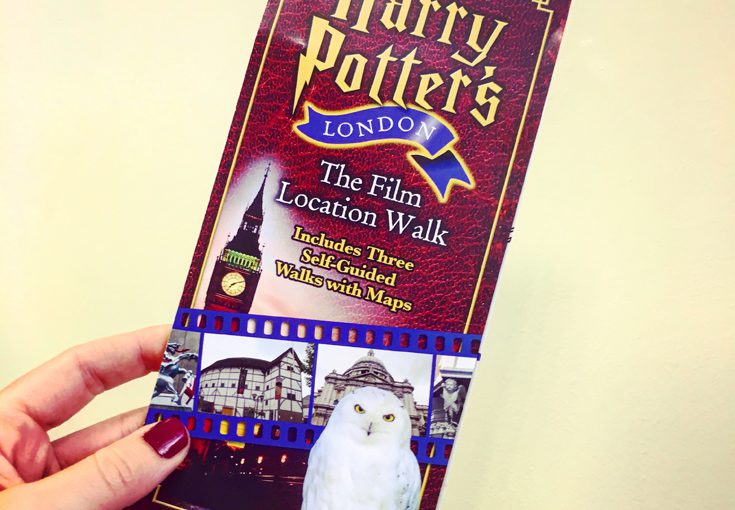
Mappy Monday: Harry Potter’s London

Can you believe it’s been 20 years since Harry Potter and the Philosopher’s came out?

If you’ve read the books and seen the films, you might want to go on a tour of London looking for the Central London locations featured in the films. Continue reading Mappy Monday: Harry Potter’s London