NEW MAP: London Flipped

Urban Good launches London Flipped, the first ever full-size upside down map of London. This innovative map offers a unique perspective on the capital, challenging conventional viewpoints and inviting Londoners and visitors alike to explore the city in a whole new way.

A Fresh Take on London

London Flipped rotates the traditional map of London by 180°, placing south at the top and north at the bottom. This playful yet thought-provoking reorientation is designed to disrupt conventional navigation and encourage users to reimagine their spatial relationships with the city.

Continue reading NEW MAP: London Flipped
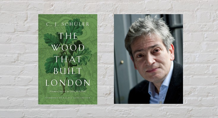
Mapping the North Wood

by C.J. Schüler

Hard though it may be to imagine today, until the end of the 18th century oak woodlands stretched for seven miles along the range of clay hills that runs through southeast London from Brockley to Selhurst, straddling what was the Kent-Surrey border until the Local Government Act of 1889. Since a substantial part of the wood lay in the northern reaches of the manor of Croydon, it was known for much of its history as the North Wood, or Norwood, a name it bequeathed to the South London suburb that replaced it.

Continue reading Mapping the North Wood