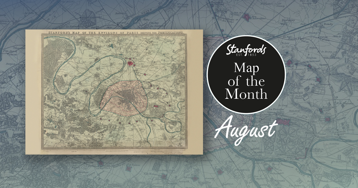
Map of the Month: 1870 Stanford’s Map of the Environs of Paris

Our Map of the Month for August is the 1870 Stanford’s Map of the Environs of Paris.

With all eyes on Paris right now, we thought it was a good time to look at this map from our Edward Stanford Cartographic Collection archive. The title reads; ‘Stanford’s map of the environs of Paris shewing the fortifications.’ You can see the fortifications in pink and notice how they form a ring around the old city wall.

It is dated September 1st 1870 which is just a couple months after the Franco-Prussian War began.

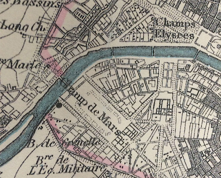
The Eiffel Tower wasn’t erected for another nineteen years. In this close-up, you can see the space at the Chaps de Mars where the iconic landmark now stands.
Continue reading Map of the Month: 1870 Stanford’s Map of the Environs of Paris

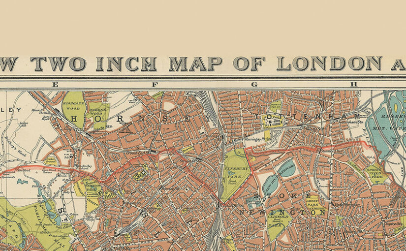
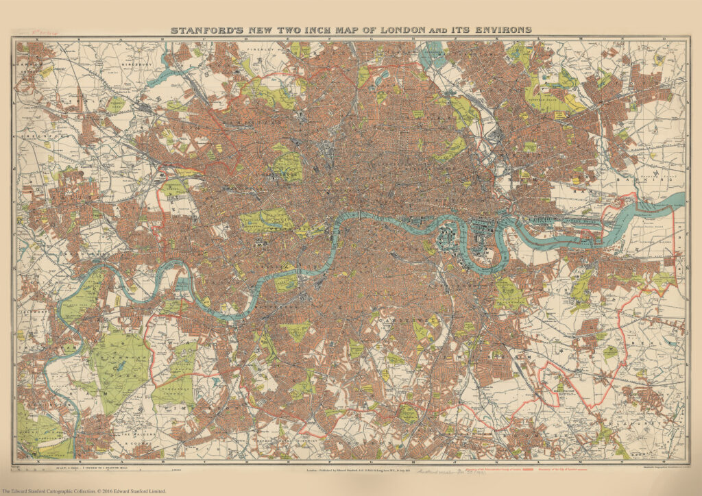
Stanford’s New Two Inch Map of London and its Environs. 1913

We are about to celebrate the 111th birthday of our Stanford’s New Two Inch Map of London and its Environs, 1913.

Published by Edward Stanford Ltd, 12,13 & 14 Long Acre . W.C . 1st July 1913.

This map from our Edward Stanford Cartographic Collection archive shows the capital the year before WW1 broke out at a scale of two inches to one mile. 

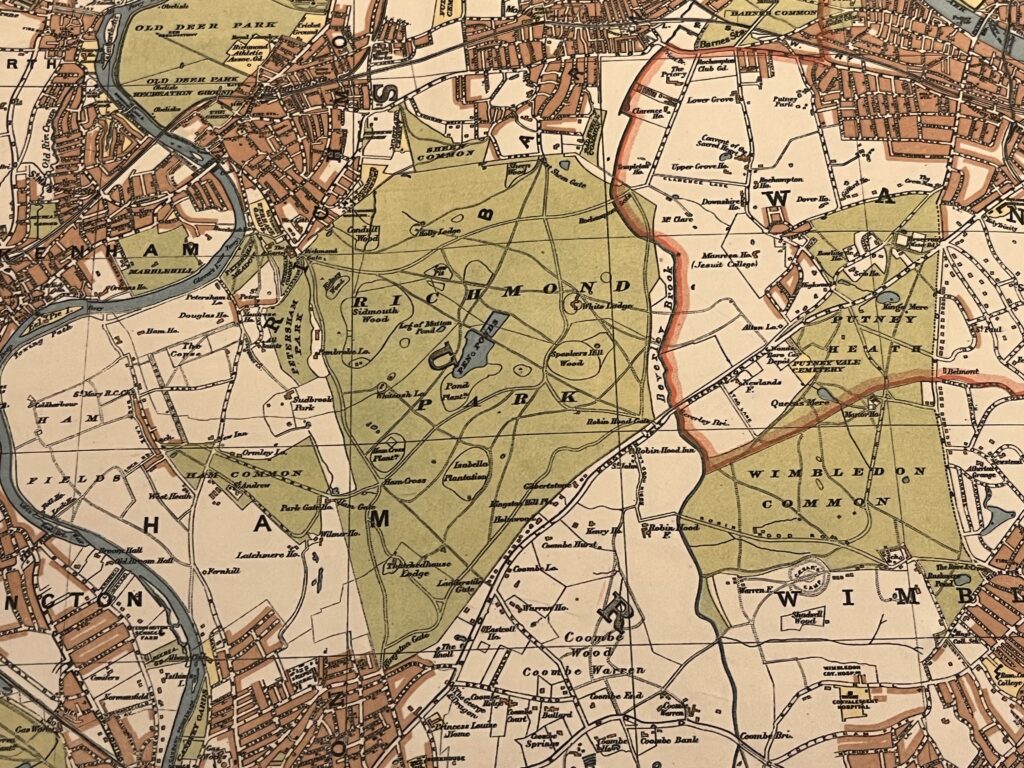
Richmond Park and Wimbledon Common sitting just outside the thick red line showing the Boundary of the Administrative Country of London

A thick red line shows the Boundary of the Administrative Country of London while a thinner red line shows the Boundary of the City of London.

Edwardian London saw a great deal of new building development which was halted by WW1 so not too many major changes would have occurred to this map for a few years.

Continue reading Stanford’s New Two Inch Map of London and its Environs. 1913

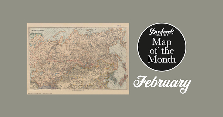
Map of the Month: 1904 Stanford’s Map of the Siberian Railway

Our Map of the Month for February 2022 is the 1904 Stanford’s Map of the Siberian Railway.

The Stanford’s Map of the Siberian Railway is from a fascinating series of reproductions from our Edward Stanford Cartographic Collection archive.

Depicting the great land route to China and Korea, this map was published by Edward Stanford, Long Acre on the 1st February 1904.

This vital rail route was also known as the Moscow Highway or the Tea Route because of the large quantities of tea exported from China. It connected European Russia to Siberia and China. Construction started in 1730 and was not completed until the mid 19th-century.

Continue reading Map of the Month: 1904 Stanford’s Map of the Siberian Railway

Mapping the North Wood

by C.J. Schüler

Hard though it may be to imagine today, until the end of the 18th century oak woodlands stretched for seven miles along the range of clay hills that runs through southeast London from Brockley to Selhurst, straddling what was the Kent-Surrey border until the Local Government Act of 1889. Since a substantial part of the wood lay in the northern reaches of the manor of Croydon, it was known for much of its history as the North Wood, or Norwood, a name it bequeathed to the South London suburb that replaced it.

Continue reading Mapping the North Wood

Philip Parker: History of Maps in Britain: Stanfords Travel Writers Festival 2020

From Mappa Mundi to modern election maps, the United Kingdom has evolved rapidly, along with the ways in which it has been mapped. During this time, cartography has not only kept pace with these changes, but has often driven them. In his beautiful book, Philip Parker talks to Julia Wheeler about some of these maps that give a visual representation of the history of Britain.

History of Britain in Mapsby Philip Parker

History of Britain in Maps: Over 90 Maps of our Nation through Time

A cartographic taster from the National Army Museum

We asked Robert Fleming, the Templer Study Centre Manager at the National Army Museum to give us a few tasters of some of the fascinating collections related to survey and cartography held at the museum. Continue reading A cartographic taster from the National Army Museum