Maps of the Month August 2025

Get all 5 map books in this series for the price of 4! This bundle is exclusively available during our August 2025 Map of the Month promotion. 

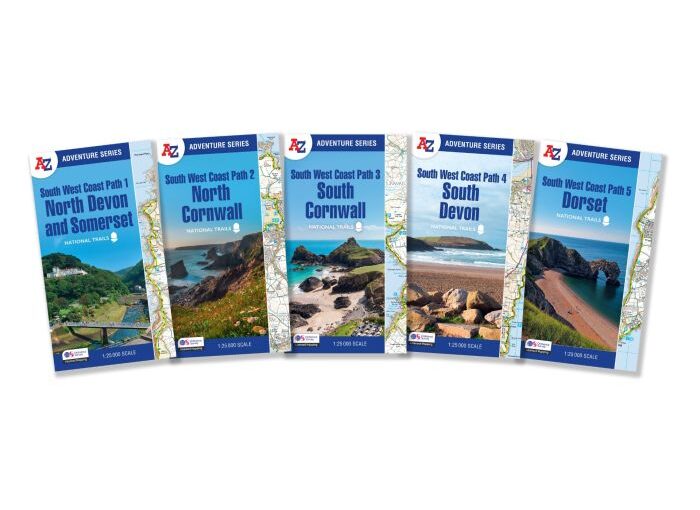
The perfect companion for those who love the great outdoors, the A-Z Adventure Series features 1:25,000 Ordnance Survey mapping in a convenient book, complete with index.

The South West Coast Path is a National Trail along the Somerset, Devon, Cornwall and Dorset coasts. This stunning walk from Minehead, Somerset covers 630 miles to South Haven Point in Poole Harbour, passing through two World Heritage Sites (the Jurassic Coast and the Cornwall and West Devon Mining Landscape), Exmoor National Park, Land’s End and many areas of outstanding natural beauty.

A series of five A-Z Adventure Atlases together cover the South West Coast Path:
South West Coast Path: North Devon and Somerset (9780008707651)
South West Coast Path: North Cornwall (9780008707620)
South West Coast Path: South Cornwall (9780008707637)
South West Coast Path: South Devon (9780008707644)
South West Coast Path: Dorset (9780008707668)

Purchase our Maps of the Month for £47.99

https://www.stanfords.co.uk/a-z-adventure-series-south-west-coast-path-bundle

Map of the Month: David Bowie’s London

“I don’t know where I’m going from here, but I promise it won’t be boring” – David Bowie

Our Map of the Month for March 2025 is David Bowie’s London by Herb Lester Associates, written by Paul Gorman, design & illustration by Kit Russell.

This meticulously researched guide reveals the streets, studios, and secret spaces that shaped one of the 20th century’s most transformative artists.

From the back streets of Brixton to the Victoria & Albert Museum, each location tells a story of Bowie’s remarkable metamorphosis. 

Trace his journey through 61 pivotal sites: recording studios where groundbreaking albums were born, bohemian enclaves that nurtured his radical creativity, and underground clubs that became launching pads for entire cultural movements.

Continue reading Map of the Month: David Bowie’s London

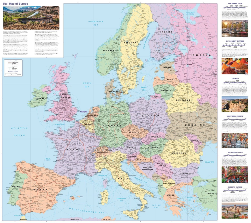
Map of the Month: Collins Rail Map of Europe

Our Map of the Month is the Collins Rail Map of Europe.

We’ve notice a huge rise is sales of rail maps and guides in the past year. In fact, there are two books about train train travel in the shortlist for our Travel Book of the Year in the upcoming Edward Stanford Travel Writing Awards Presented by Viking.

If you are planning your next train adventure, this rail map of Europe is the perfect travel companion.

Continue reading Map of the Month: Collins Rail Map of Europe

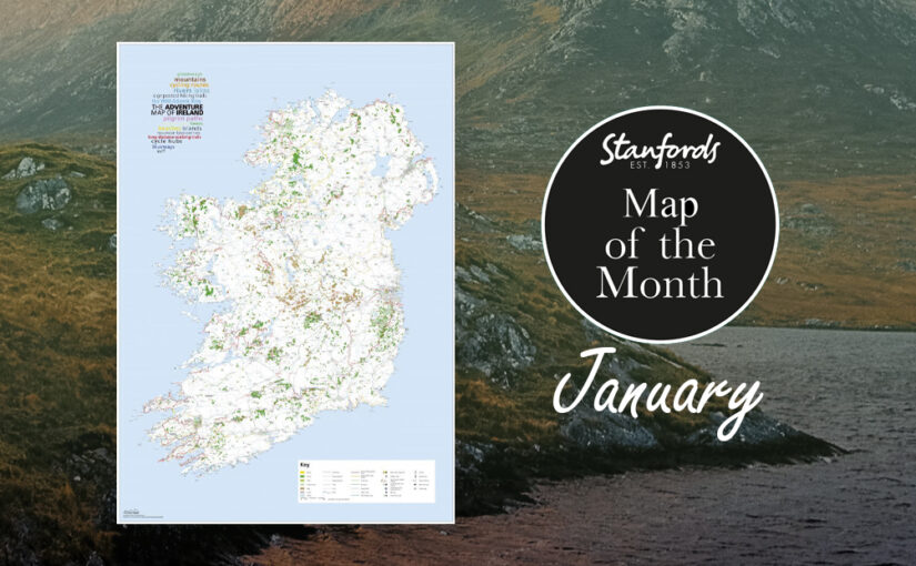
Map of the Month: The Adventure Map of Ireland

If your New Year’s resolution is to be more adventurous our Map of the Month The Adventure Map of Ireland will give you some inspiration.

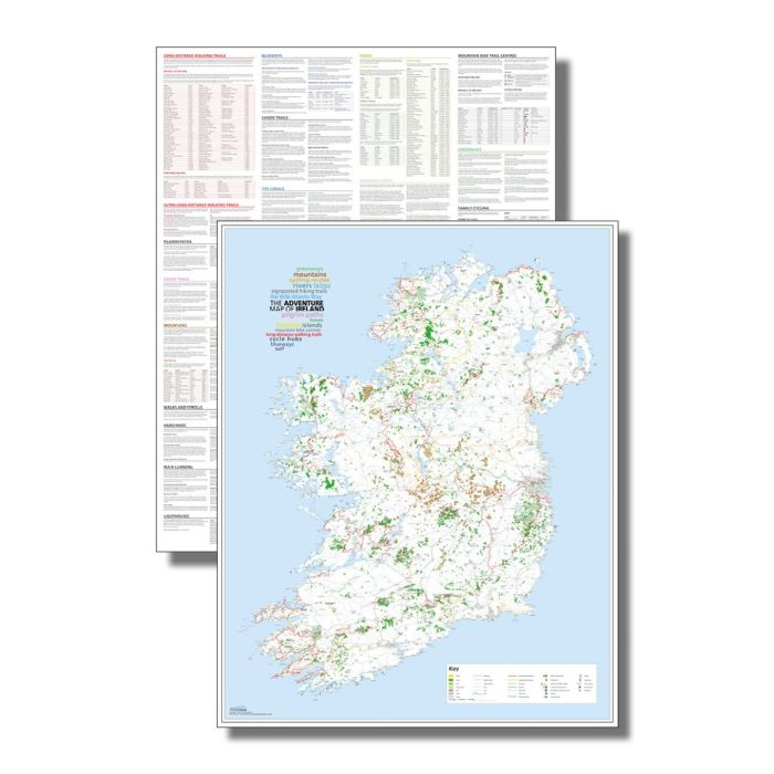
Ireland’s beautiful landscape offers so much potential for adventure whether on foot, bike or boat. This unique map documents thousands of the island’s natural features such as rivers, beaches and mountains as well as the walking, cycling and paddling routes that connect them. So spread it out on the kitchen table and start making plans…

At a scale of 1:450,000, 1cm = 4.5km

Printed on the same press as the Irish and UK Ordnance Survey maps, this large format (890mm x 1125mm), high-quality map is the ideal planning tool for your Irish adventures. The reverse side is packed with a vast amount of detailed information offering suggestions of different routes and activities

Featuring:

  1. Long-distance walks
  2. Cycling routes
  3. Pilgrim paths
  4. Greenways
  5. Blueways
  6. Signposted hiking trails
  7. Cycle hubs
  8. Mountain bike centres
  9. The Wild Atlantic Way
  10. Beaches
  11. Surf spots
  12. Canoe routes
  13. Mountains
  14. Rivers
  15. Lakes
  16. Islands
  17. National parks
  18. Forests

The Adventure Map of Ireland is available now for £15.

Map of the Month: The Times Desktop Atlas of the World

Give someone the World with our Map of the Month, The Times Desktop Atlas of the World.

“A goldmine of information and for a traveller, irresistible temptation.”- Michael Palin

Everyone needs a good world atlas and this one is perfect for everyday use at home or work. This is the fully updated sixth edition published earlier this year.

Continue reading Map of the Month: The Times Desktop Atlas of the World

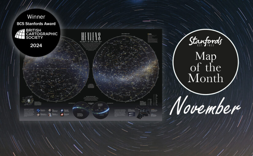
Map of the Month: National Geographic Heavens – Majesty of the Night Sky

Our Map of the Month is the National Geographic Heavens – Majesty of the Night Sky Map.

Winner of the British Cartographic Society’s 2024 Stanfords Award for Printed Mapping.

Across time and culture, humanity has gazed at the Heavens and marveled at the beauty and mystery each night provides. This poster was included in the special space issue of National Geographic Magazine. This chart of the stars is an all-new compilation using the latest NASA data on star locations, constellation boundaries, asterisms, and deep-sky objects. 

Continue reading Map of the Month: National Geographic Heavens – Majesty of the Night Sky

Map of the Month: Australia’s Big Things Map

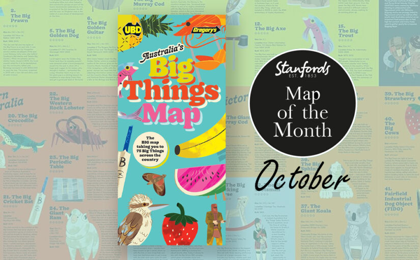
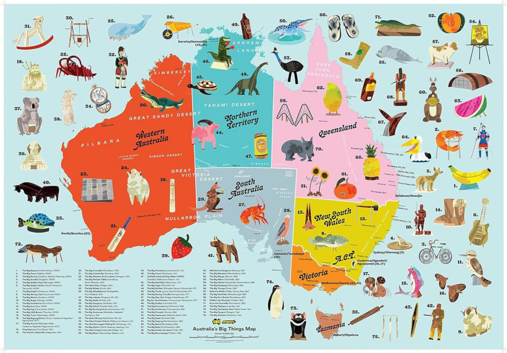
Our Map of the Month for October is the wonderfully illustrated Australia’s Big Things Map by UBD Gregory’s.

Credit: BrisbanePom/ Wikimedia Commons

“One of the more cherishable peculiarities of Australians is that they like to build big things in the shape of other things. Give them a bale of chicken wire, some fibreglass and a couple pots of paint and they will make you, say, an enormous pineapple or strawberry or, as here, a lobster. Then they put a café and a gift shop inside, erect a big sign beside the highway…, then sit back and wait for the money to roll in.” – Bill Bryson, ‘Down Under’, 2000, Doubleday.

Dating back to the 1960s, there are currently hundreds of these giant sculptures dotted around the Country.

Continue reading Map of the Month: Australia’s Big Things Map

Map of the Month: European Rail Map

All aboard!

Our Map of the Month is the European Rail Map. The definitive rail map for today’s independent traveller, this map is a regular feature on our bestsellers list. This is the third revision of the 3rd edition map which includes the latest high-speed routes and updates.

From the same people who print the European Rail Timetable, this map seeks to show all passenger rail routes in Europe (other than those of the suburban networks of major cities).

Continue reading Map of the Month: European Rail Map

Map of the Month: 1870 Stanford’s Map of the Environs of Paris

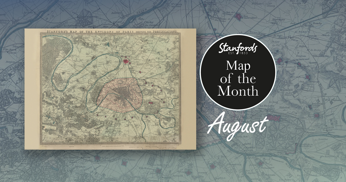
Our Map of the Month for August is the 1870 Stanford’s Map of the Environs of Paris.

With all eyes on Paris right now, we thought it was a good time to look at this map from our Edward Stanford Cartographic Collection archive. The title reads; ‘Stanford’s map of the environs of Paris shewing the fortifications.’ You can see the fortifications in pink and notice how they form a ring around the old city wall.

It is dated September 1st 1870 which is just a couple months after the Franco-Prussian War began.

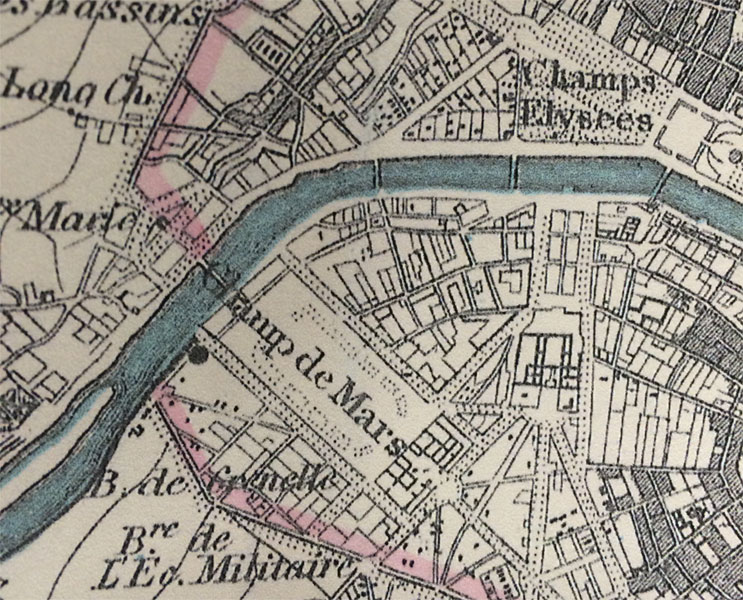
The Eiffel Tower wasn’t erected for another nineteen years. In this close-up, you can see the space at the Chaps de Mars where the iconic landmark now stands.

Continue reading Map of the Month: 1870 Stanford’s Map of the Environs of Paris

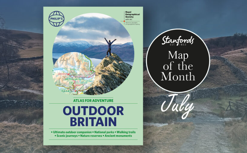
Map of the Month: Philip’s RGS Outdoor Britain

Our Map of the Month for July is the Philip’s RGS Outdoor Britain: An Atlas for Adventure.

Ever wanted to explore Britain’s finest National Parks, go surfing on the best beaches or follow the Pilgrims’ Trail? Philip’s RGS Outdoor Britain maps it all, from the majestic heights of the Scottish Highlands to the lush valleys of Wales and all the heritage and activities in between. 

This ultimate outdoor companion clearly illustrates all the parks, trails, long distance footpaths, pilgrim routes and much more. So grab your boots (or swimmers), pack your rucksack, and reconnect with nature. 

Contains information on the following:

Continue reading Map of the Month: Philip’s RGS Outdoor Britain