All aboard!
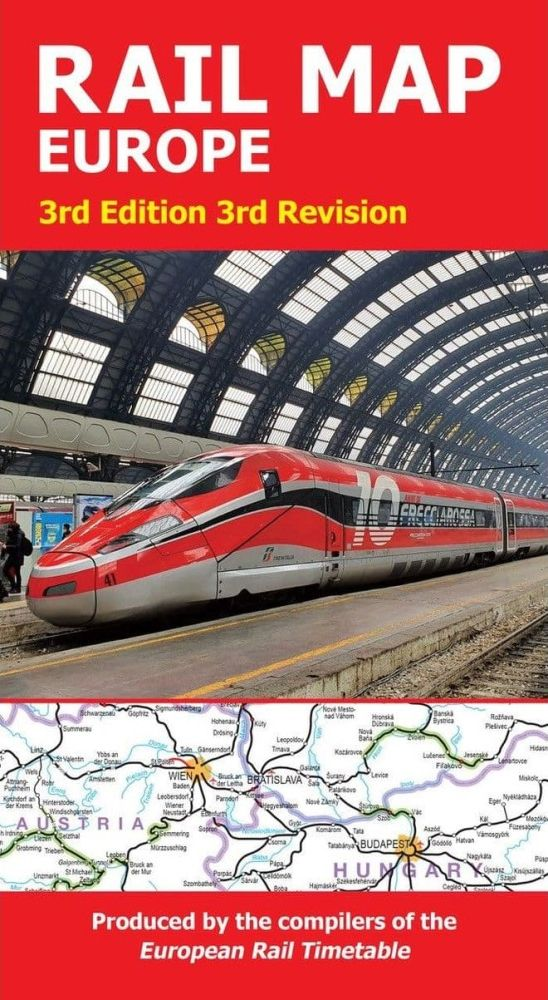
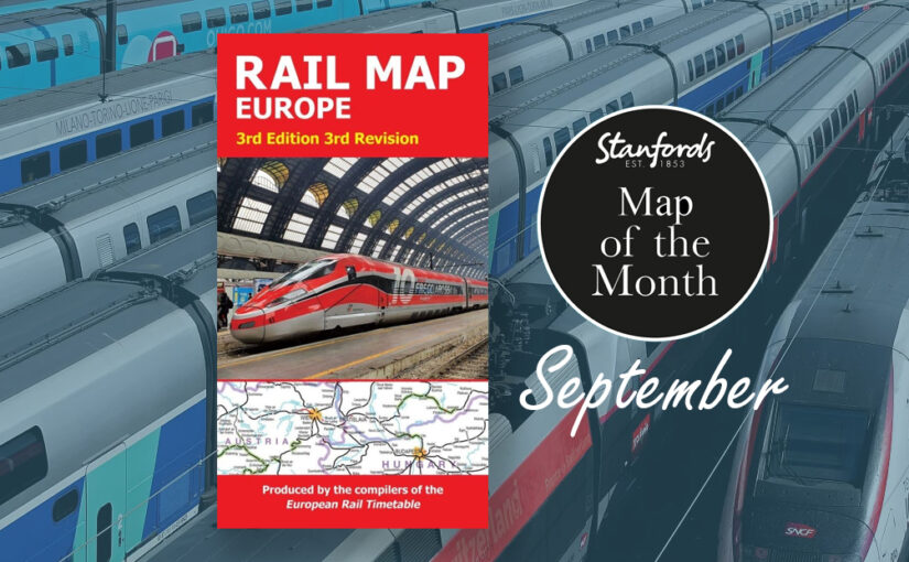
Our Map of the Month is the European Rail Map. The definitive rail map for today’s independent traveller, this map is a regular feature on our bestsellers list. This is the third revision of the 3rd edition map which includes the latest high-speed routes and updates.
From the same people who print the European Rail Timetable, this map seeks to show all passenger rail routes in Europe (other than those of the suburban networks of major cities).
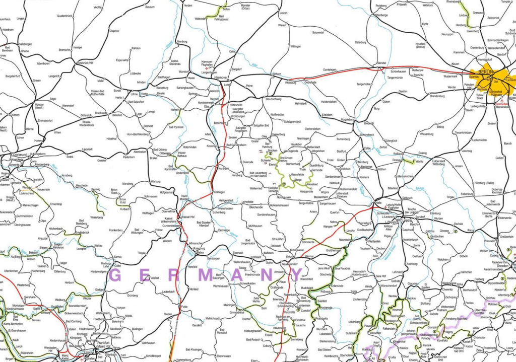
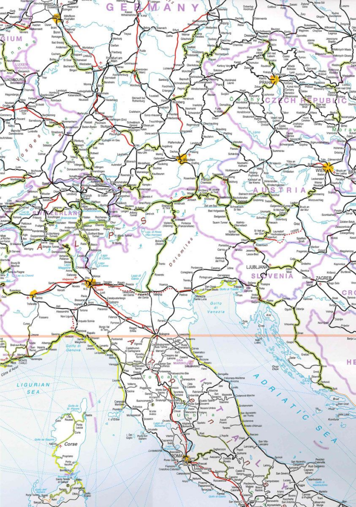
EXPLORE Europe’s passenger railways from the Atlantic to Moscow, with over 6,000 cities and towns shown on this popular map.
ENLARGED scale on the reverse of the map shows the area from Paris to Warsaw.
HIGH-SPEED lines are colour-coded, as are Europe’s many and varied narrow-gauge lines. Selected heritage and tourist railways complete the picture.
SCENIC routes are easily identified, along with international airports, principal passenger and rail ferries, main rivers, tourist areas and holiday coastlines.
Map Size when unfolded = 100cm x 70cm