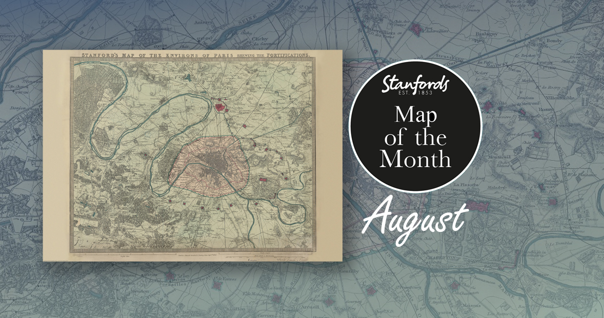
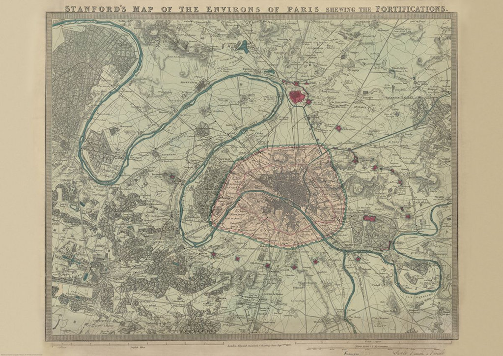
Our Map of the Month for August is the 1870 Stanford’s Map of the Environs of Paris.
With all eyes on Paris right now, we thought it was a good time to look at this map from our Edward Stanford Cartographic Collection archive. The title reads; ‘Stanford’s map of the environs of Paris shewing the fortifications.’ You can see the fortifications in pink and notice how they form a ring around the old city wall.
It is dated September 1st 1870 which is just a couple months after the Franco-Prussian War began.
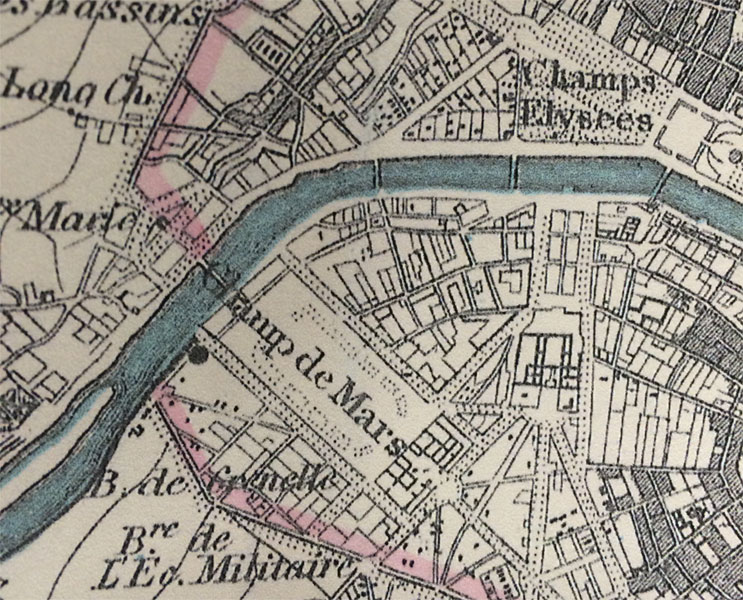
The Eiffel Tower wasn’t erected for another nineteen years. In this close-up, you can see the space at the Chaps de Mars where the iconic landmark now stands.
The map covers the centre of Paris (indicated in pink) and extends well outside the present day Boulevard Périphérique, the course of which is indicated on the map by the old city walls. Coverage of the north includes St Danis up to Montmorency. The East includes the Château de Vincennes, most of Champigny-sur-Marne to the north-eastern Bondy. Coverage of the south shows Villejuif down to Forêt Domaniale de Verrières. In the west the map takes us beyond the northward bend in the Seine to include all of the Bois de Boulogne, the Parc de St. Cloud all the way up to St-Germain-en-Laye.
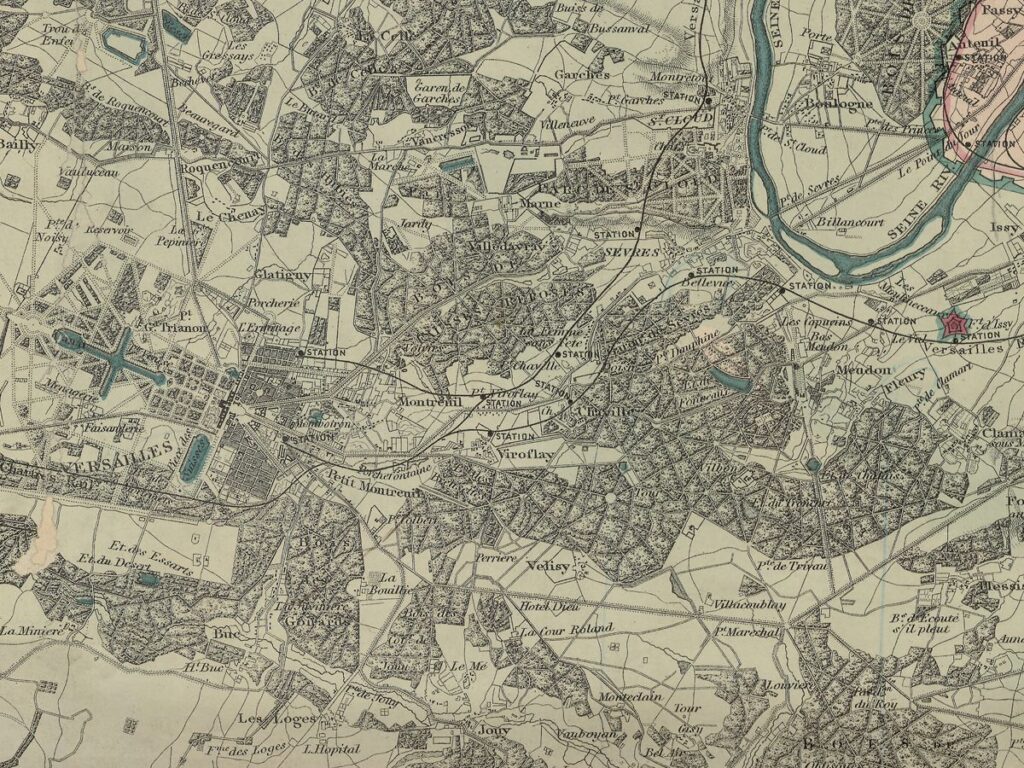
Various districts of the city, as well as surrounding villages are named. The map has no legend but topographic artistry shows elevated areas and other details.
Comparing this map to current maps of Paris we can see that the effects of the Haussmann’s renovation of Paris had not yet taken effect. Apparently overcrowded medieval style neighbourhoods were thought to be unsanitary and unsafe with lots of alleyways and dark corners. The new design saw roads made longer and wider and improved sewers amongst other changes were made. Some of the wider streets in Paris that are so familiar today do not feature on this map.
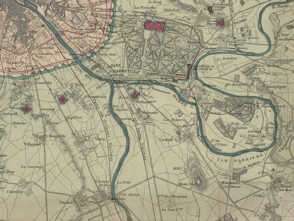
Another effect of Haussmann’s renovation was to make the centre of the city less densely populated and move people further into the suburbs. This is evident on the map as we see the centre is very built up compared to today’s maps.
This is definitely one of our most beautiful maps and will appeal to anyone interested in this great city.
Stanford’s Map of the Environs of Paris (1870) is available now for £14.99
This reproduction has been taken from the original cartographic scale of 1:60,000 on an 18.5”x23” map. This is the A2 paper version. We print this map in store so other sizes are available. It will be posted in a cardboard map tube.