A brand new atlas of walking routes connecting all of Britain’s towns, cities and national landscapes by Slow Ways CIC and Urban Good.
Discover a network of over 9,000 walking routes connecting all of Britain’s towns, cities and national landscapes. This bright and beautiful new collection of maps shows every Slow Way route in Great Britain, which between them join up 2500 settlements via 130,000km of existing paths, lanes and trails. Use the pocket atlas to dream of journeys. Colour in where you’ve been or where you’d like to go. This pocket atlas has been made thanks to thousands of people. Contributors have volunteered hundreds of thousands of hours plotting, walking, wheeling, testing and reviewing the routes. In this atlas you can find out more about the Slow Ways movement, how it is changing what we think is possible, and creating a network of connection and joy!
The creator
Urban Good CIC and Slow Ways CIC have worked together on mapping the new walking network from the start. Their existing maps have a popular and unique style to highlight the routes. Both organisations are Community Interest Companies.
We invite you to join us for the official launch of the Slow Ways Pocket Atlas. The evening will feature talks from Hannah Engelkamp, Daniel Raven-Ellison, and Charlie Peel, who will share the stories behind the making of this atlas and the powerful movement that connects over 2,500 towns and cities through over 9,000 walking routes.
Tickets £7 Includes glass of wine/soft drink and a discount off the book when purchased on the evening. Buy tickets here.
With the Olympics and Paralympics being set in Paris, we’ve been getting lots of enquires about the different kinds of maps we stock. Here are 10 maps on our shelves that we’ve been talking recently:
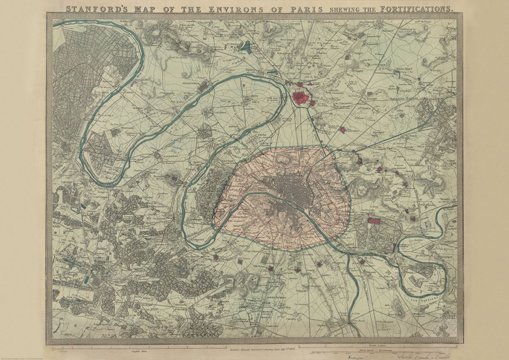
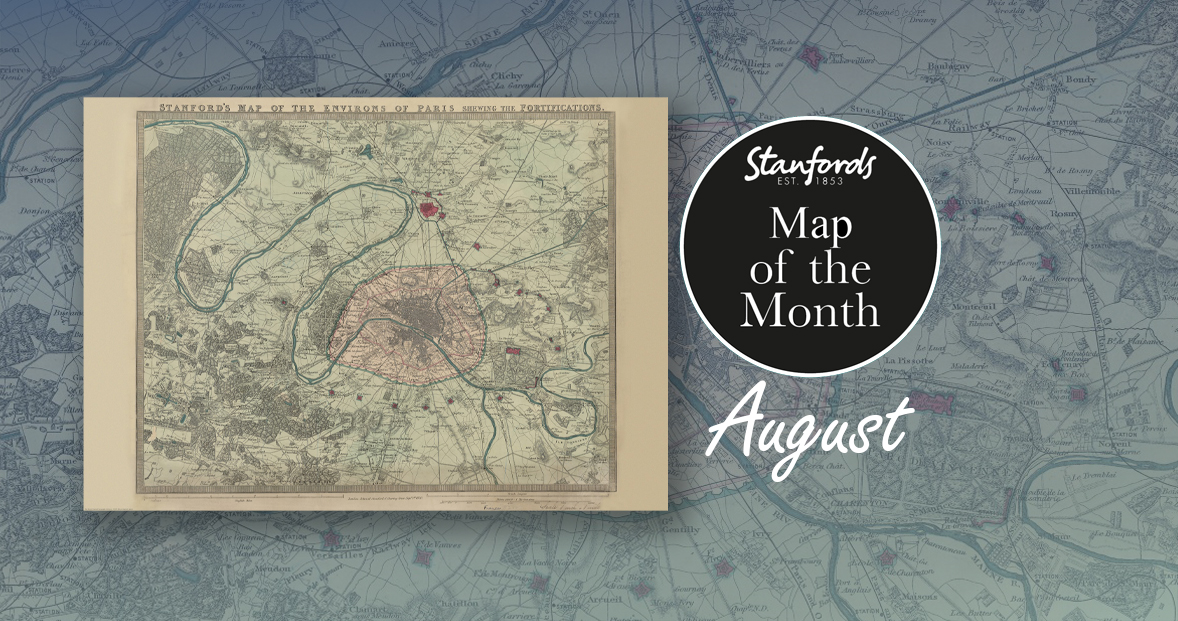
First up, it’s our August Map of the Month from our Edward Stanford Cartographic Collection archive.
It is dated September 1st 1870 which is just a couple months after the Franco-Prussian War began. The Eiffel Tower wasn’t erected for another nineteen years so you can see the empty space at the Chaps de Mars where the iconic landmark now stands.
It’s fascinating to compare this map with modern maps of Paris. This is definitely one of our most beautiful maps and will appeal to anyone interested in this great city.
Curated by transport design historian and broadcaster Mark Ovenden, with original photography by Nigel Green, this two-sided cartographic guide is an original and fascinating insight into architecture and graphic design for transport lovers, students of design and anyone interested in the history of Paris. The guide includes a geographical Metro map with featured stations marked, with corresponding photography and details on the reverse along with tips for where to find unique and unusual signage, ornamentation, architecture and more.
With all eyes on Paris right now, we thought it was a good time to look at this map from our Edward Stanford Cartographic Collection archive. The title reads; ‘Stanford’s map of the environs of Paris shewing the fortifications.’ You can see the fortifications in pink and notice how they form a ring around the old city wall.
It is dated September 1st 1870 which is just a couple months after the Franco-Prussian War began.
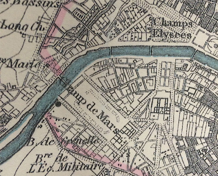
The Eiffel Tower wasn’t erected for another nineteen years. In this close-up, you can see the space at the Chaps de Mars where the iconic landmark now stands.
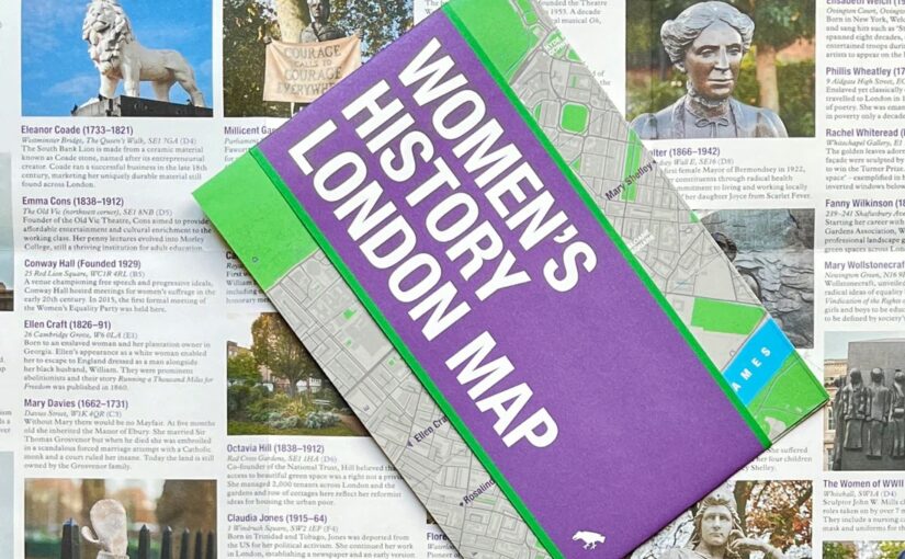
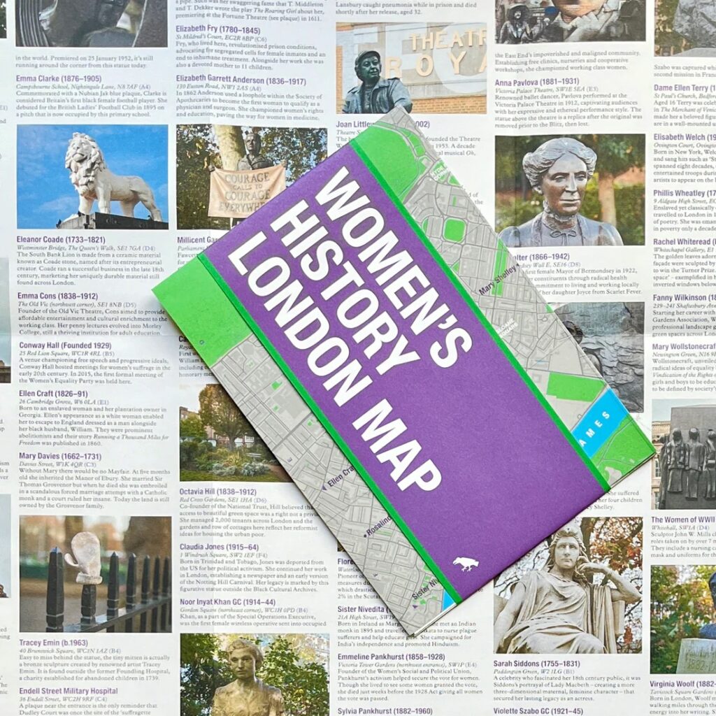
This new map has conveniently arrived on our shelves just in time for International Women’s Day and Mother’s Day.
Explore London through the lens of women’s history. This Women’s History London Map highlights 50 statues, sculptures, blue plaques, gravestones, buildings and monuments – dedicated to women such as Millicent Garrett Fawcett, Virginia Woolf, Aphra Benn, Ada Lovelace and Phillis Wheatley.
With an introduction and descriptions by Katie Wignall, author, city history tour guide and Londoner, and original photography by Jo Underhill, the map guide is a companion to begin exploring the lives of some of London’s most impactful women, and to inspire the next generation to continue their work.
Maps that help put the last 12 months in some context
-by Ian Wright
I’m honoured that Brilliant Maps An Atlas for Curious Minds has been selected for Stanfords December book of the month. I really enjoyed writing it and hope you’ll enjoy reading it just as much.
Since December is the last month of the year, I thought I’d choose a few maps that help put the last 12 months in some context. And given Christmas is coming I can’t resist including a couple of Christmas themed maps too.
Hard though it may be to imagine today, until the end of the 18th century oak woodlands stretched for seven miles along the range of clay hills that runs through southeast London from Brockley to Selhurst, straddling what was the Kent-Surrey border until the Local Government Act of 1889. Since a substantial part of the wood lay in the northern reaches of the manor of Croydon, it was known for much of its history as the North Wood, or Norwood, a name it bequeathed to the South London suburb that replaced it.
We thought we’d end the year with something new, so from now on we will be having a Map of the Month. Stanfords Map of the Month for December 2021 is the British Antarctic Survey’sAntarctica and the Arctic double-sided folded map.
Here’s Laura Gerrish, GIS and Mapping Specialist at British Antarctic Survey to tell us a bit more about this map:
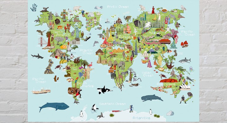
The latest addition to our map department are these seven new AmazingWorld children’s A2 wall maps.
These lovingly crafted maps introduce little ones to the many wonders awaiting them around the world. Spark up conversations and fuel their curiosity to guide them as they discover more about the animals, foods, people, places, cultures, and plants across the globe.
Build their knowledge and develop an understanding of the similarities and differences that connect them to people & places around the world.
Great Trees of London Mapis a new map by Blue Crow Media. This two-sided guide map reveals highlights from London’s uniquely diverse urban forest. Featuring rare species, magnificent English oaks, an ancient, perhaps 2,000-year-old, yew and the finest flowering cherries, this selection of 50 trees spans from Kew Gardens to Greenwich Park, and Tottenham to Brixton. The map includes photography, an introduction and descriptions by Paul Wood, the author of London is a Forest and London’s Street Trees: A Field Guide to the Urban Forest.