10 maps we are talking about. Paris edition
With the Olympics and Paralympics being set in Paris, we’ve been getting lots of enquires about the different kinds of maps we stock. Here are 10 maps on our shelves that we’ve been talking recently:
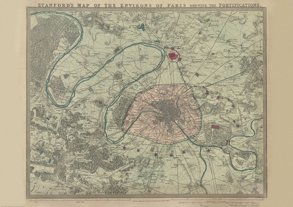
Stanford’s Map of the Environs of Paris (1870)
£14.99
First up, it’s our August Map of the Month from our Edward Stanford Cartographic Collection archive.
It is dated September 1st 1870 which is just a couple months after the Franco-Prussian War began. The Eiffel Tower wasn’t erected for another nineteen years so you can see the empty space at the Chaps de Mars where the iconic landmark now stands.
It’s fascinating to compare this map with modern maps of Paris. This is definitely one of our most beautiful maps and will appeal to anyone interested in this great city.

Paris Metro Architecture & Design Map
£9
Curated by transport design historian and broadcaster Mark Ovenden, with original photography by Nigel Green, this two-sided cartographic guide is an original and fascinating insight into architecture and graphic design for transport lovers, students of design and anyone interested in the history of Paris. The guide includes a geographical Metro map with featured stations marked, with corresponding photography and details on the reverse along with tips for where to find unique and unusual signage, ornamentation, architecture and more.
Continue reading #MapMonday: 10 maps we are talking about. Paris edition