10 maps we are talking about. Paris edition
With the Olympics and Paralympics being set in Paris, we’ve been getting lots of enquires about the different kinds of maps we stock. Here are 10 maps on our shelves that we’ve been talking recently:
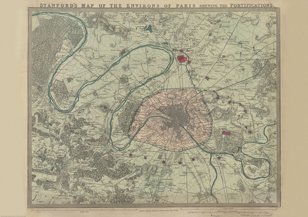
Stanford’s Map of the Environs of Paris (1870)
£14.99
First up, it’s our August Map of the Month from our Edward Stanford Cartographic Collection archive.
It is dated September 1st 1870 which is just a couple months after the Franco-Prussian War began. The Eiffel Tower wasn’t erected for another nineteen years so you can see the empty space at the Chaps de Mars where the iconic landmark now stands.
It’s fascinating to compare this map with modern maps of Paris. This is definitely one of our most beautiful maps and will appeal to anyone interested in this great city.

Paris Metro Architecture & Design Map
£9
Curated by transport design historian and broadcaster Mark Ovenden, with original photography by Nigel Green, this two-sided cartographic guide is an original and fascinating insight into architecture and graphic design for transport lovers, students of design and anyone interested in the history of Paris. The guide includes a geographical Metro map with featured stations marked, with corresponding photography and details on the reverse along with tips for where to find unique and unusual signage, ornamentation, architecture and more.
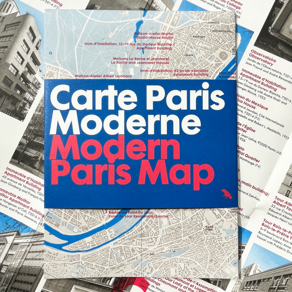
Modern Paris Map: Carte Paris Moderne
£9.50
Explore extraordinary examples of Modern architecture built across Paris between 1900 and 1970 with this expertly curated bilingual guide. Featuring works by Le Corbusier, Loos, Jeanneret, Mallet-Stevens, Breuer, Prouvé and others. Researched and introduced by Dr Robin Wilson, architectural historian at the Bartlett School of Architecture. In French and English.
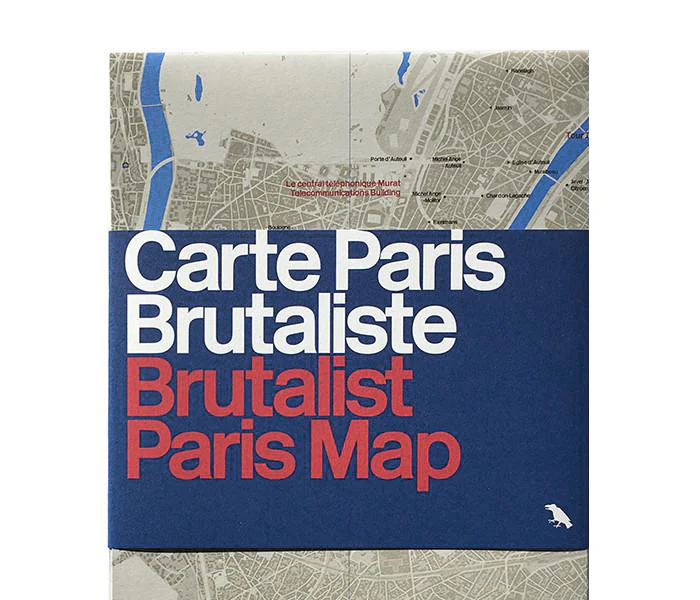
£8
Featuring the most striking examples of Brutalist architecture in Paris, this two-sided guide includes a map, an introduction by Dr Robin Wilson, details of more than forty buildings, and over 20 photographs by Nigel Green. The front of each map plots buildings and all the other details are included on the reverse.
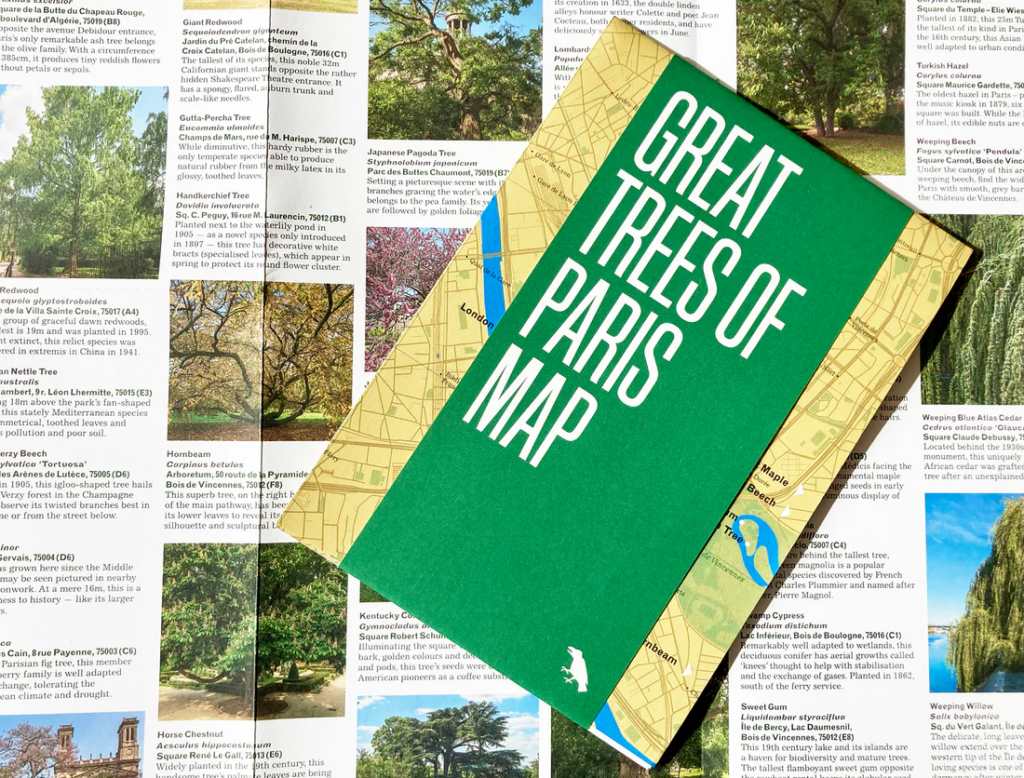
£9.50
The Great Trees of Paris Map features 50 of the oldest, rarest, most unusual and historic trees across Paris, from the ancient black locust overlooking Notre Dame to the graceful Japanese pagoda tree overhanging the lake at Buttes Chaumont. This two-sided guide includes a map, an introduction, descriptions and original photography. In English.
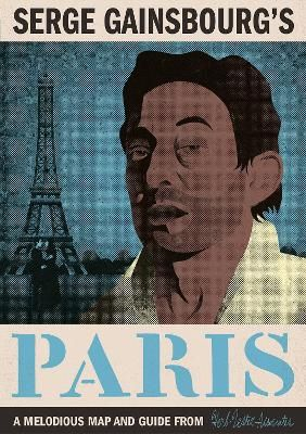
£12
Serge Gainsbourg, from his birth at L’Hôtel-Dieu de Paris in April 1928, to final resting place at Cimitière du Montparnasse. Along the way, we note residences, bars, studios, nightclubs and many scenes of scandal, debauchery and great art. At the time of his death, in 1991, Gainsbourg was perhaps best known outside France for the songs “Je t’aime… moi non plus” and “Bonnie And Clyde”, and his marriage to Jane Birkin, yet his influence is greater today than at any time, and his home is now a museum. Start your journey in Serge’s Repetto shoes with this map and guide.
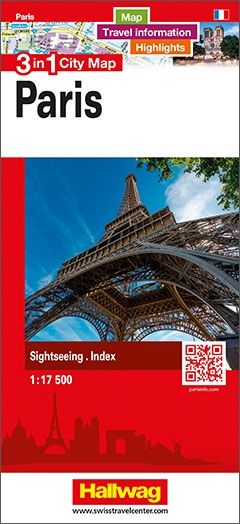
£7.99
The double-sided city map includes travel information and highlights.
Includes:
– detailed and clear representation of town centre
– appealing 3D-display of selected typical buildings
– brief description of 16 highlights in 4 languages complemented with attractive pictures
– useful additional information for a successful trip (vicinity map, public transport, travel information, climate chart, index of important streets)
– up-to-date amendments via QR-Code (airports, local traffic, fairgrounds…).
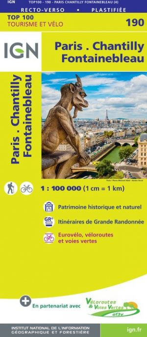
Paris – Chantilly – Fontainebleau IGN TOP100 190
£10.99
Discover the double sided laminated edition of 1:100k maps of France from the Institut Géographique National (IGN); exceptionally detailed, contoured road maps which include the cycle paths and greenways, ideal for exploring the French countryside.
Used by millions of locals and tourists alike, this series provides an excellent balance between coverage of a sufficiently wide area and detailed road presentation, plus topographic information not found on other road maps.
SEE ALL THE MAPS IN THIS SERIES

Paris – Foret de Meudon – Foret de Fausses Reposes IGN 2314OT
£16.99
Topographic survey of France at 1:25,000 in IGN’s excellent TOP25 / Série Bleue series. All the maps are GPS compatible. Contours are at 5m intervals except for mountainous areas where the maps have contours at 10m intervals, vividly enhanced by hill shading and graphics for rocky terrain. Colouring with graphics indicates different types of vegetation or land use (deciduous or coniferous forests, moors, orchards, vineyards, etc). Tourist information is included.
SEE ALL THE MAPS IN THIS SERIES
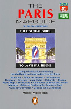
£6.99
A useful and interesting tourist atlas, with clear mapping which carries a wealth of information for visitors to the city. The maps not only show monuments and places of interest, but also indicate numerous restaurants, bars, cafés, jazz clubs, discos, shops, street markets, etc. Streets with bus routes are shown in contrasting colours. The atlas covers most of Paris and includes an index, plans of the Louvre and the Notre-Dame cathedral, maps for Bois de Boulogne, Bois de Vincennes and Versailles, and a clear diagram of the metro network.
The guide section includes notes on the city’s history, brief descriptions of main places of interest, advice on shopping, nightlife, famous restaurants, cafés and bars etc. All the text is in English.