NEW MAP: London Flipped

Urban Good launches London Flipped, the first ever full-size upside down map of London. This innovative map offers a unique perspective on the capital, challenging conventional viewpoints and inviting Londoners and visitors alike to explore the city in a whole new way.

A Fresh Take on London

London Flipped rotates the traditional map of London by 180°, placing south at the top and north at the bottom. This playful yet thought-provoking reorientation is designed to disrupt conventional navigation and encourage users to reimagine their spatial relationships with the city.

Continue reading NEW MAP: London Flipped

Mike Hall Maps

Currently on display on our gallery wall in the Stanfords Coffee House in our Covent Garden store, is a beautifully curated selection of Mike Hall’s maps.

The full collection of Mike Hall’s Retro London Boroughs are available to buy from Stanfords for £34 each.

These bold, colourful illustrated maps of London’s 32 boroughs and the City of London are inspired by colourful, modernist graphic design of the 1950s and 1960s.

Continue reading Mike Hall Maps

Author Event: Drink Maps in Victorian Britain by Kris Butler

“This is the story of drink maps, and it’s probably not what you think”

Last week we were joined by Kris Butler for a fascinating exploration of the history of alcohol in Victorian Britain via the ‘drink maps’ that were produced by the temperance movement to promote sobriety.

It’s not about pub crawls or plotted ale trails. Instead, these are maps with an agenda that was adamantly hostile to drinking alcohol, made by an organized faction known as the Temperance Movement. The logic at the time of the maps’ creation went as follows: if people are shown how many places there are to buy alcohol, they will be so appalled that they will join the effort to end drinking. In hindsight this logic is obviously flawed.’

Drink Maps in Victorian Britain explores how drink maps of cities were published to fight increasingly rampant alcohol consumption, from Liverpool,Manchester and Sheffield to Oxford, London, and Norwich.

Continue reading Author Event: Drink Maps in Victorian Britain by Kris Butler

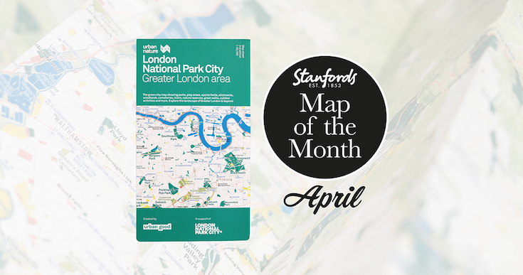
Map of the Month: London National Park City – Greater London Map

Our Map of the Month for April 2022 is the London National Park City- Greater London Area Urban Nature Map by Urban Good.

See London differently and explore its open spaces. This map is a resource to encourage more awareness and more action for people and nature, to help put nearby nature in everyday lives. 

It shows London: the world’s first National Park City. The massive map includes all of the parks, woodlands, playing fields, national nature reserves, city farms, rivers, lakes, and all the spaces that contribute to London’s parkland. Some of the most iconic walks through and around London are drawn, such as the London Loop and Capital Ring, along with symbols marking places to swim outdoors, climb peaks, pitch a tent, or go sailing.

Continue reading Map of the Month: London National Park City – Greater London Map

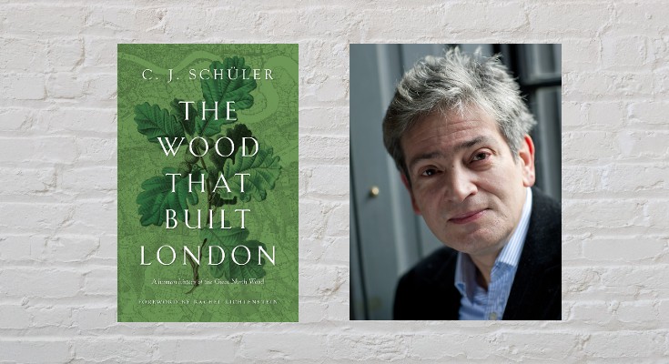
Mapping the North Wood

by C.J. Schüler

Hard though it may be to imagine today, until the end of the 18th century oak woodlands stretched for seven miles along the range of clay hills that runs through southeast London from Brockley to Selhurst, straddling what was the Kent-Surrey border until the Local Government Act of 1889. Since a substantial part of the wood lay in the northern reaches of the manor of Croydon, it was known for much of its history as the North Wood, or Norwood, a name it bequeathed to the South London suburb that replaced it.

Continue reading Mapping the North Wood

Great Trees of London Map

New Map Celebrates London’s Remarkable Trees

Great Trees of London Map  is a new map by Blue Crow Media. This two-sided guide map reveals highlights from London’s uniquely diverse urban forest. Featuring rare species, magnificent English oaks, an ancient, perhaps 2,000-year-old, yew and the finest flowering cherries, this selection of 50 trees spans from Kew Gardens to Greenwich Park, and Tottenham to Brixton. The map includes photography, an introduction and descriptions by Paul Wood, the author of London is a Forest and London’s Street Trees: A Field Guide to the Urban Forest.

Continue reading Great Trees of London Map

Five examples of how the map of London isn’t always as it first appears

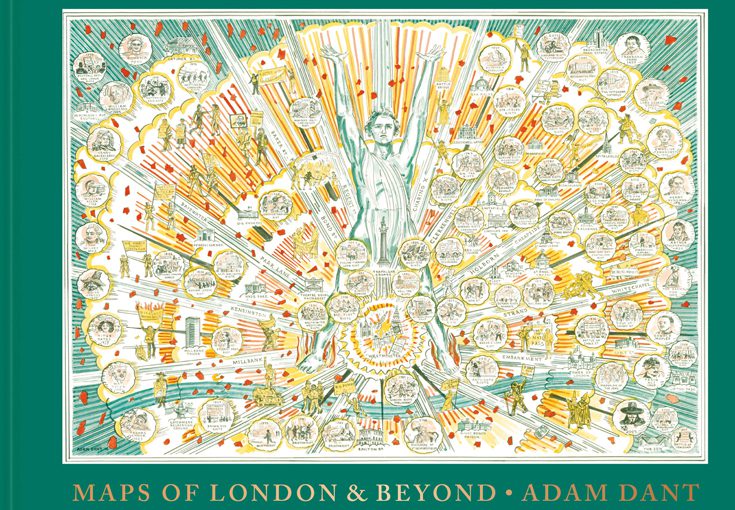
Artist and cartographer Adam Dant surveys London’s past, present and future with his beautiful, witty and subversive cartographic pieces. His astonishing maps offer a compelling view of history, lore, language and life in the capital and beyond.

To celebrate the launch of ‘Maps of London & Beyond’ we asked Adam Dant to give us Five examples of how the map of London isn’t always as it first appears. Continue reading Five examples of how the map of London isn’t always as it first appears

Mappy Monday- Art Deco London Map

0179963_sample_9780993193460
Art Deco London Map £8.00


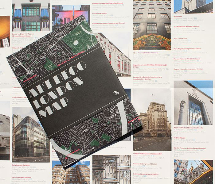
This new map from Blue Crow Media features London’s finest Art Deco buildings including lots of Piccadilly line tube stations, Battersea Power Station, Arsenal Stadium, Brockwell Lido, Hoover Building, The Savoy and The Grampians. Continue reading Mappy Monday- Art Deco London Map