Mike Hall Maps

Currently on display on our gallery wall in the Stanfords Coffee House in our Covent Garden store, is a beautifully curated selection of Mike Hall’s maps.

The full collection of Mike Hall’s Retro London Boroughs are available to buy from Stanfords for £34 each.

These bold, colourful illustrated maps of London’s 32 boroughs and the City of London are inspired by colourful, modernist graphic design of the 1950s and 1960s.

Continue reading Mike Hall Maps
When is a Map Political? by Adam Dant

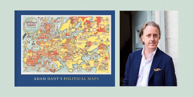
Adam Dant’s Political Maps is an all-new collection of intricate, absorbing and beautiful maps, focused on the world of politics. Informed by his experiences as the official artist of the UK general election in 2015, these glorious works of art are amusing and subversive, hugely imaginative and packed with eye-catching detail.

Here, the artist and cartographer Adam Dant tells us what makes a map political:

Continue reading When is a Map Political? by Adam Dant

Atlas of Imagined Places: From Lilliput to Gotham City

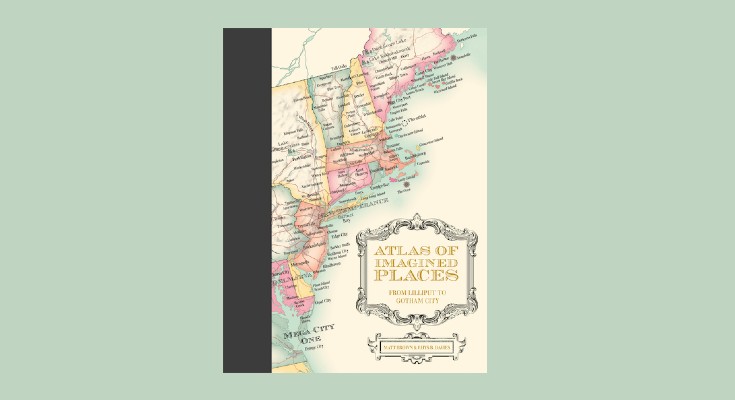
Atlas of Imagined Places: From Lilliput to Gotham City is a stunning map collection of invented geography and topography drawn from the world’s imagination.

The maps feature fictional buildings, towns, cities and countries plus mountains and rivers, oceans and seas. Ever wondered where the Bates Motel was based? Or Bedford Falls in It’s a Wonderful Life? The authors have taken years to research the likely geography of thousands of popular culture locations that have become almost real to us. 

Here is an extract from the chapter on CENTRAL AMERICA AND THE CARIBBEAN by Matt Brown & Rhys B. Davies with maps by Mike Hall.

Continue reading Atlas of Imagined Places: From Lilliput to Gotham City

Five examples of how the map of London isn’t always as it first appears

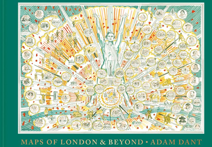
Artist and cartographer Adam Dant surveys London’s past, present and future with his beautiful, witty and subversive cartographic pieces. His astonishing maps offer a compelling view of history, lore, language and life in the capital and beyond.

To celebrate the launch of ‘Maps of London & Beyond’ we asked Adam Dant to give us Five examples of how the map of London isn’t always as it first appears. Continue reading Five examples of how the map of London isn’t always as it first appears

The Art of Cartographics: Designing the Modern Map

We’ve seen so many different types of cartography in our time. From the archive replicas in our map room to illustrated maps by new artists. It’s so interesting to see how it is evolving as an art and how different people interpret maps differently. The Art of Cartographics is a collection of maps that showcases the most creative and interesting design projects from around the world. It features geographical maps, fictional maps and fresh and innovative approaches to cultural, economic and political maps. Here is a glimpse of what’s inside: Continue reading The Art of Cartographics: Designing the Modern Map