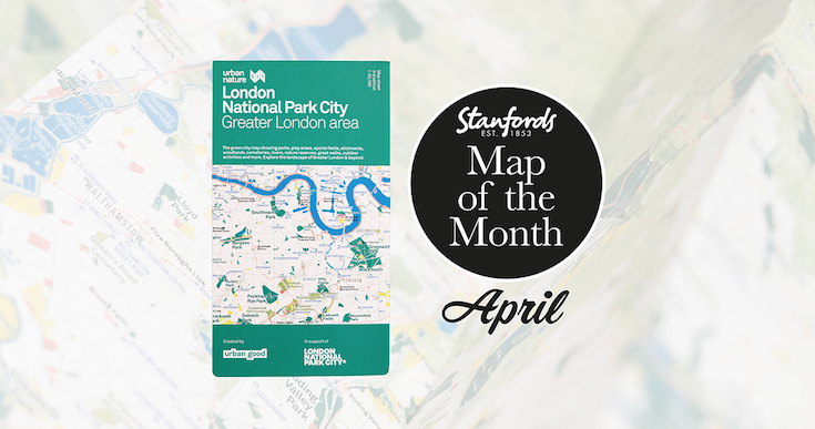
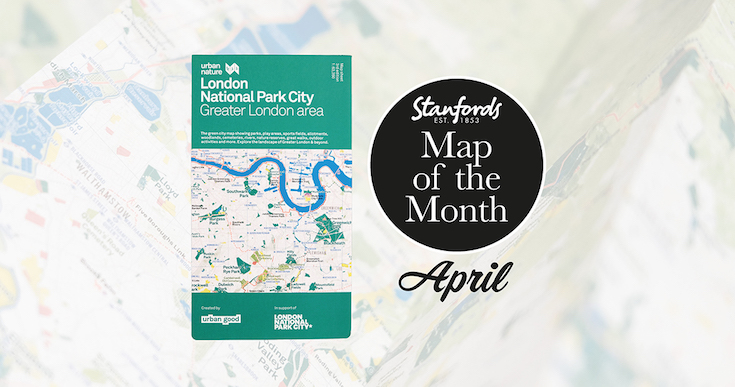
Our Map of the Month for April 2022 is the London National Park City- Greater London Area Urban Nature Map by Urban Good.
See London differently and explore its open spaces. This map is a resource to encourage more awareness and more action for people and nature, to help put nearby nature in everyday lives.
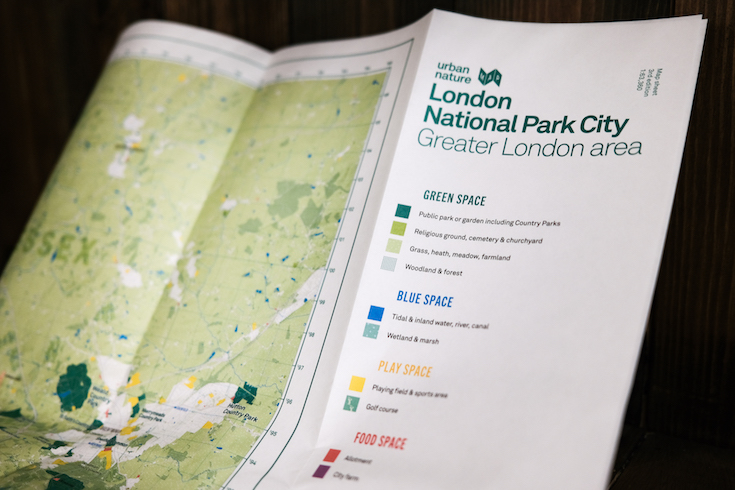
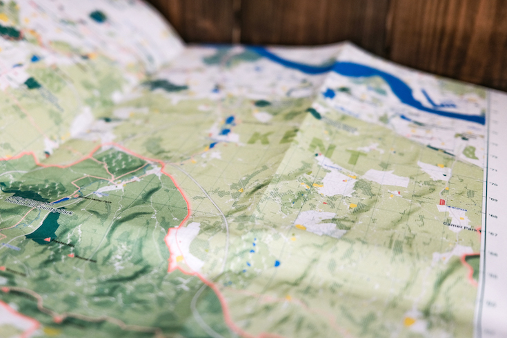
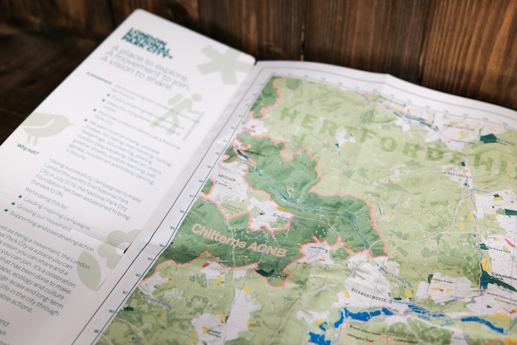
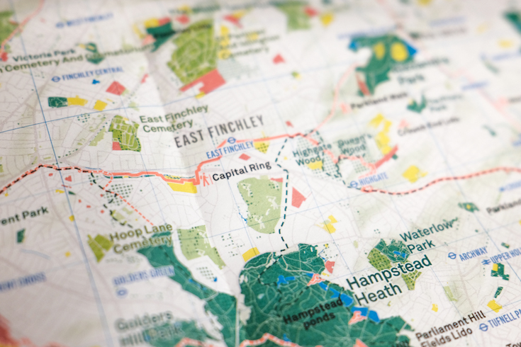
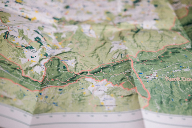
It shows London: the world’s first National Park City. The massive map includes all of the parks, woodlands, playing fields, national nature reserves, city farms, rivers, lakes, and all the spaces that contribute to London’s parkland. Some of the most iconic walks through and around London are drawn, such as the London Loop and Capital Ring, along with symbols marking places to swim outdoors, climb peaks, pitch a tent, or go sailing.
Furthermore, the maps are part of a great campaign to make London ‘greener, healthier and wilder’ as the world’s first National Park City.
First published in 2017, this new edition has cleaner labels and more epic walks across the capital.
About Urban Good:
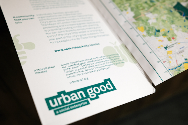
Urban Good CIC was established by Charlie Peel in 2016 as a community interest company with the mission to improve the urban environment and recycle profits into social and environmental causes. They have fun writing, researching, designing, map-making and generally communicating good ideas. They strongly believe good urban development increases the capability of citizens to access opportunities. They want the London National Park City to become a reality for all Londoners.
They provide advice, research and support to architects, planners, developers, local authorities and community projects to inform decision making, and ultimately make material improvements to cities.
Watch Daniel Raven-Ellison introduce this map:
London National Park City: Greater London Map is available now for £9.99