It was a full house at Stanfords last night as we hosted a talk to celebrate the launch of the Slow Ways Pocket Atlas. The atlas creators Charlie Peel, Hannah Engelkamp and Daniel Raven-Ellison explained the initial ideas and the evolution that lead to the finished atlas.
A brand new atlas of walking routes connecting all of Britain’s towns, cities and national landscapes by Slow Ways CIC and Urban Good.
Discover a network of over 9,000 walking routes connecting all of Britain’s towns, cities and national landscapes. This bright and beautiful new collection of maps shows every Slow Way route in Great Britain, which between them join up 2500 settlements via 130,000km of existing paths, lanes and trails. Use the pocket atlas to dream of journeys. Colour in where you’ve been or where you’d like to go. This pocket atlas has been made thanks to thousands of people. Contributors have volunteered hundreds of thousands of hours plotting, walking, wheeling, testing and reviewing the routes. In this atlas you can find out more about the Slow Ways movement, how it is changing what we think is possible, and creating a network of connection and joy!
The creator
Urban Good CIC and Slow Ways CIC have worked together on mapping the new walking network from the start. Their existing maps have a popular and unique style to highlight the routes. Both organisations are Community Interest Companies.
We invite you to join us for the official launch of the Slow Ways Pocket Atlas. The evening will feature talks from Hannah Engelkamp, Daniel Raven-Ellison, and Charlie Peel, who will share the stories behind the making of this atlas and the powerful movement that connects over 2,500 towns and cities through over 9,000 walking routes.
Tickets £7 Includes glass of wine/soft drink and a discount off the book when purchased on the evening. Buy tickets here.
Urban Good launches London Flipped, the first ever full-size upside down map of London. This innovative map offers a unique perspective on the capital, challenging conventional viewpoints and inviting Londoners and visitors alike to explore the city in a whole new way.
A Fresh Take on London
London Flipped rotates the traditional map of London by 180°, placing south at the top and north at the bottom. This playful yet thought-provoking reorientation is designed to disrupt conventional navigation and encourage users to reimagine their spatial relationships with the city.
See London differently and explore its open spaces. This map is a resource to encourage more awareness and more action for people and nature, to help put nearby nature in everyday lives.
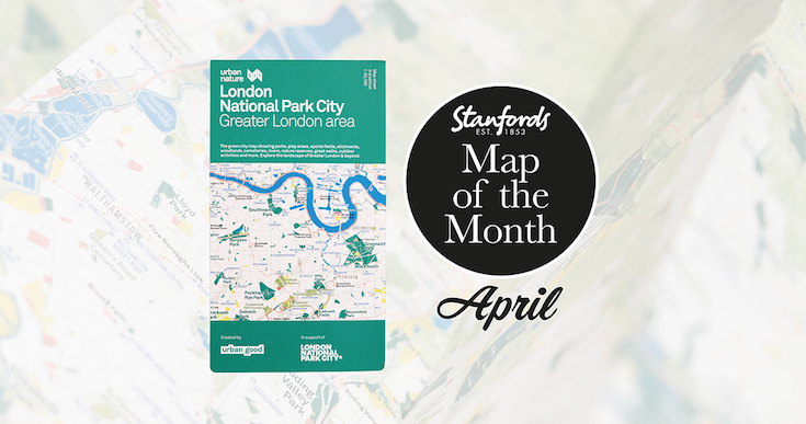
It shows London: the world’s first National Park City. The massive map includes all of the parks, woodlands, playing fields, national nature reserves, city farms, rivers, lakes, and all the spaces that contribute to London’s parkland. Some of the most iconic walks through and around London are drawn, such as the London Loop and Capital Ring, along with symbols marking places to swim outdoors, climb peaks, pitch a tent, or go sailing.