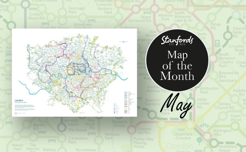
Map of the Month: London Greenground Map

Our Map of the Month for May is the London Greenground Map by graphic designer and map maker Helen Ilus.

Exclusive to Stanfords this Spring/ Summer.

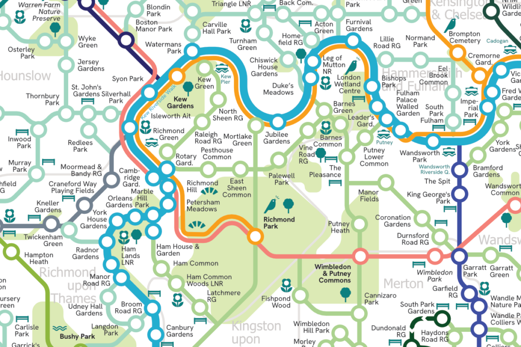
The London Greenground Map is the largest greenground map to date – connecting 1,200 green spaces with 20 inspirational lines for exploring the London-wide network of parks, rivers, nature reserves, woods and wetlands. Covering all London boroughs so that every neighbourhood can find nature on their doorstep.
Continue reading Map of the Month: London Greenground Map

Map of the Month: London National Park City – Greater London Map

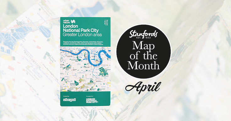
Our Map of the Month for April 2022 is the London National Park City- Greater London Area Urban Nature Map by Urban Good.

See London differently and explore its open spaces. This map is a resource to encourage more awareness and more action for people and nature, to help put nearby nature in everyday lives. 

It shows London: the world’s first National Park City. The massive map includes all of the parks, woodlands, playing fields, national nature reserves, city farms, rivers, lakes, and all the spaces that contribute to London’s parkland. Some of the most iconic walks through and around London are drawn, such as the London Loop and Capital Ring, along with symbols marking places to swim outdoors, climb peaks, pitch a tent, or go sailing.

Continue reading Map of the Month: London National Park City – Greater London Map