Map of the Month: London Greenground Map

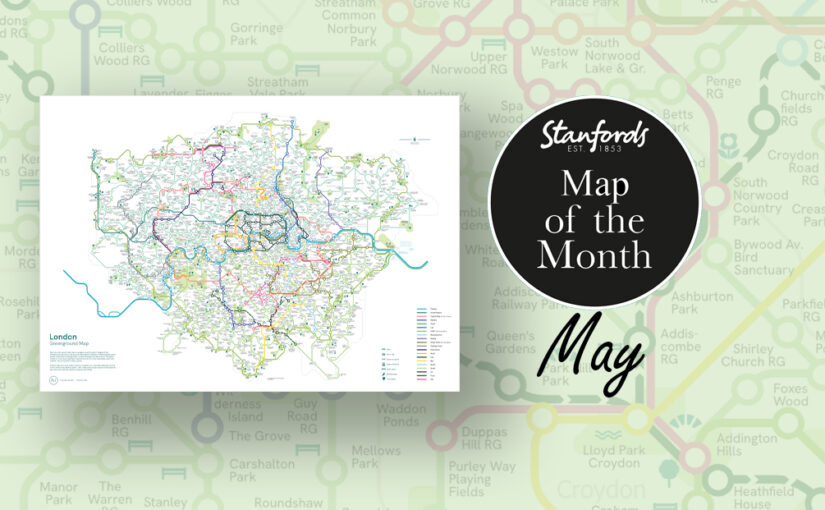
Our Map of the Month for May is the London Greenground Map by graphic designer and map maker Helen Ilus.

Exclusive to Stanfords this Spring/ Summer.

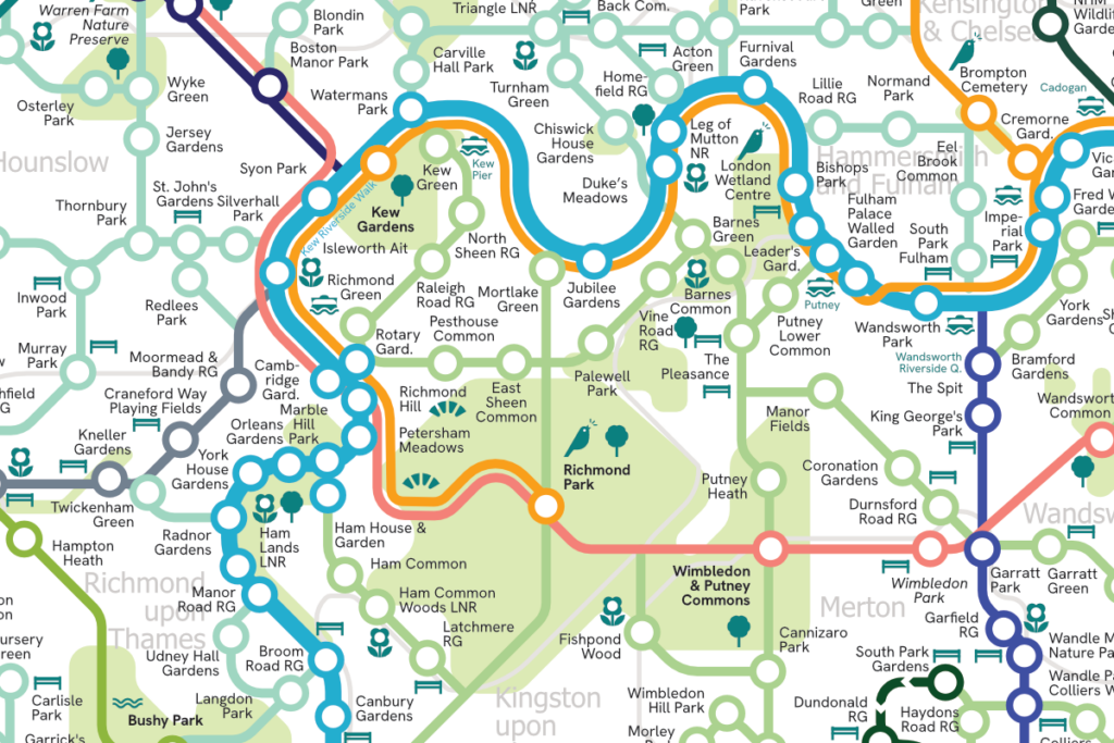
The London Greenground Map is the largest greenground map to date – connecting 1,200 green spaces with 20 inspirational lines for exploring the London-wide network of parks, rivers, nature reserves, woods and wetlands. Covering all London boroughs so that every neighbourhood can find nature on their doorstep.
Continue reading Map of the Month: London Greenground Map

Map of the Month: Gran Canaria Tour & Trail Super-Durable Map

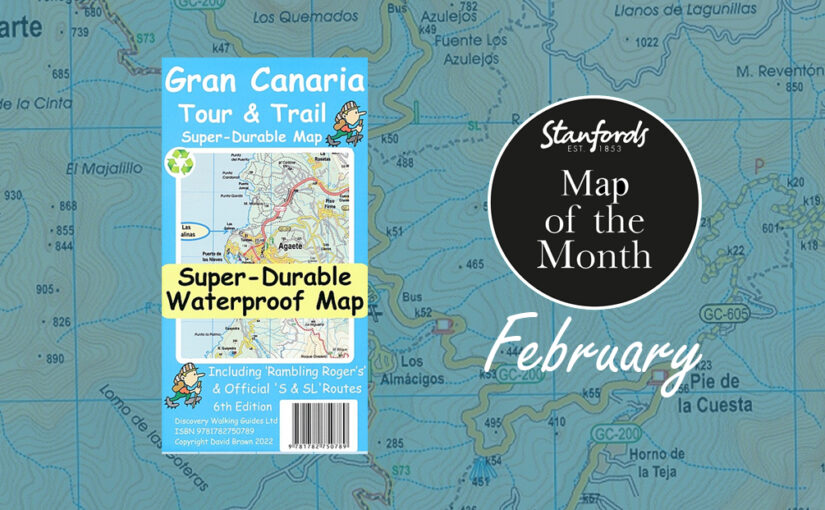
Our February Map of the Month is the Gran Canaria Tour and Trail Super-Durable Map.

One of the most popular destinations with our customers during the end of winter is the Spanish island of Gran Canaria. It is the third-largest and second-most-populous island of the Canary Islands, an archipelago off the Atlantic coast of Northwest Africa. This island is called a “miniature continent” due to the different climates and variety of landscapes found. It has so much to offer with long beaches and dunes of white sand, contrasting with green ravines and picturesque villages. 

Continue reading Map of the Month: Gran Canaria Tour & Trail Super-Durable Map

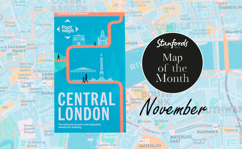
Map of the Month: Central London Footways Map

Our Map of the Month for November 2022 is the Central London Footways: the network of quiet and enjoyable streets for walking.


This beautiful printed map is designed to help people plan enjoyable A-to-B walks in central London. The Footways team spent more than three years plotting and testing the walking routes, connecting London’s stations and key destinations with the capital’s most interesting, quiet and enjoyable streets.

Continue reading Map of the Month: Central London Footways Map