Map of the Month: 1870 Stanford’s Map of the Environs of Paris

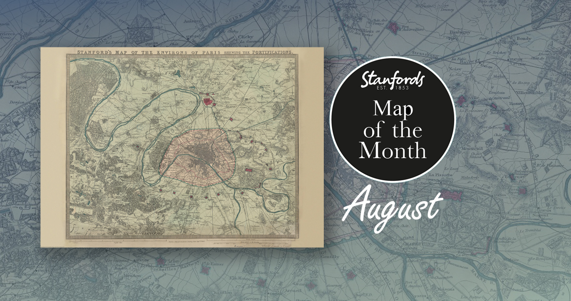
Our Map of the Month for August is the 1870 Stanford’s Map of the Environs of Paris.

With all eyes on Paris right now, we thought it was a good time to look at this map from our Edward Stanford Cartographic Collection archive. The title reads; ‘Stanford’s map of the environs of Paris shewing the fortifications.’ You can see the fortifications in pink and notice how they form a ring around the old city wall.

It is dated September 1st 1870 which is just a couple months after the Franco-Prussian War began.

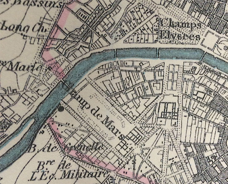
The Eiffel Tower wasn’t erected for another nineteen years. In this close-up, you can see the space at the Chaps de Mars where the iconic landmark now stands.
Continue reading Map of the Month: 1870 Stanford’s Map of the Environs of Paris

5 Maps We’re Talking About

Here are five maps that have caught our attention recently at Stanfords:

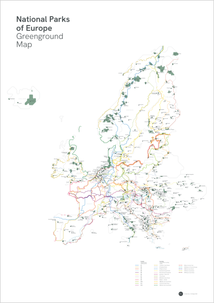
National Parks of Europe Greenground Map

£24.99

NEW

From the graphic designer and map maker that brought you our Map of the Month back in May; The London Greenground Map, Helen Ilus has just launched this new minimalist map that aims to connect Europe’s National Parks with official long-distance walking and cycling routes. With 400+ National Parks, 12 official E-paths and 17 EuroVelo routes, the map is a useful tool for planning nature adventures across Europe either on foot or on bike. The visually stylised map makes the connections between National Parks easy to see and helps with the planning as well as being an inspiring wall map between the adventures.

Continue reading 5 Maps We’re Talking About

NEW MAP: London Flipped

Urban Good launches London Flipped, the first ever full-size upside down map of London. This innovative map offers a unique perspective on the capital, challenging conventional viewpoints and inviting Londoners and visitors alike to explore the city in a whole new way.

A Fresh Take on London

London Flipped rotates the traditional map of London by 180°, placing south at the top and north at the bottom. This playful yet thought-provoking reorientation is designed to disrupt conventional navigation and encourage users to reimagine their spatial relationships with the city.

Continue reading NEW MAP: London Flipped

10 Maps we are talking about

Get your cartographic fix right here with these 10 maps that have caught our attention recently:

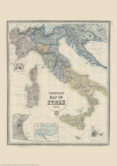
Stanford’s Map of Italy (1859)

£19.99

We are celebrating this map’s 165th birthday. It was originally published on 2nd May 1859 by Edward Stanford.


The map catches the country in an interesting stage of its history, just before the unification, and still shows the individual states: the Kingdom of Piedmont – Sardinia, the Grand Duchy of Tuscany, the Kingdom of the Two Sicilies, the Papal States, etc, all in different colours. Hachures are used to show the spine of the Apennines and other mountainous regions.


Interesting insets show enlargements of the environs of Venice, Genoa and Naples with Vesuvius, and another panel presents the whole of the Austro-Hungarian Empire which then still included Lombardy and north-eastern Italy.

This reproduction is Print on Demand so is available in other sizes.

Continue reading 10 Maps we are talking about

 120th Anniversary of the Stanford’s Map of the Siberian Railway

One of the most popular maps in our cartographic archive, The Stanford’s Map of the Siberian Railway was first published by Edward Stanford, Long Acre on the 1st February 1904 making this year its 120th anniversary.

“Not only is this a geographical map, it’s a historical one. A moment in time as well as space.” –Colin Thubron.

Depicting the great land route to China and Korea, this vital rail route was also known as the Moscow Highway or the Tea Route because of the large quantities of tea exported from China. It connected European Russia to Siberia and China.

Continue reading  120th Anniversary of the Stanford’s Map of the Siberian Railway