Map of the Month: 1870 Stanford’s Map of the Environs of Paris

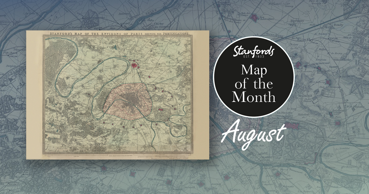
Our Map of the Month for August is the 1870 Stanford’s Map of the Environs of Paris.

With all eyes on Paris right now, we thought it was a good time to look at this map from our Edward Stanford Cartographic Collection archive. The title reads; ‘Stanford’s map of the environs of Paris shewing the fortifications.’ You can see the fortifications in pink and notice how they form a ring around the old city wall.

It is dated September 1st 1870 which is just a couple months after the Franco-Prussian War began.

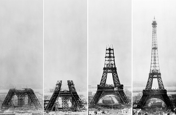
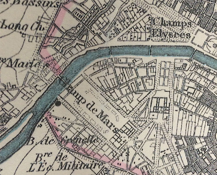
The Eiffel Tower wasn’t erected for another nineteen years. In this close-up, you can see the space at the Chaps de Mars where the iconic landmark now stands.
Continue reading Map of the Month: 1870 Stanford’s Map of the Environs of Paris

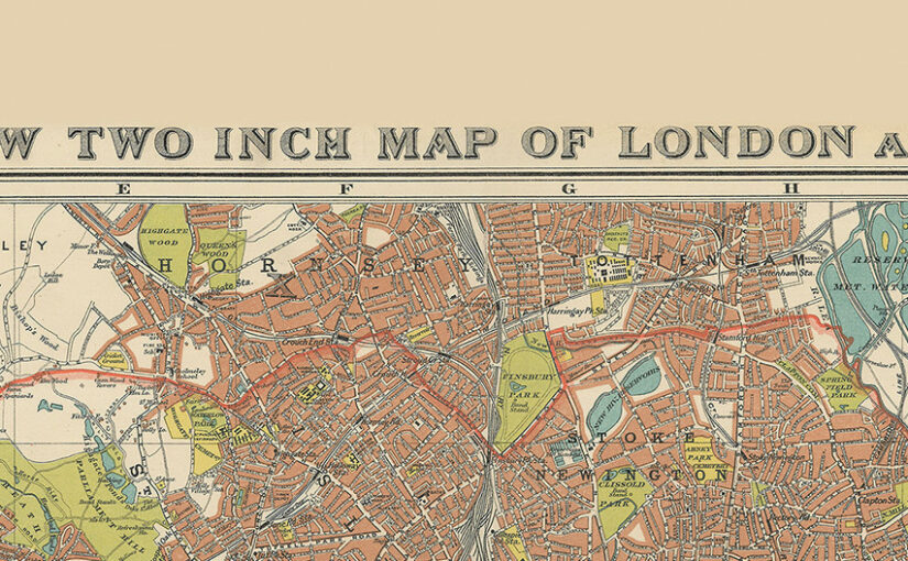
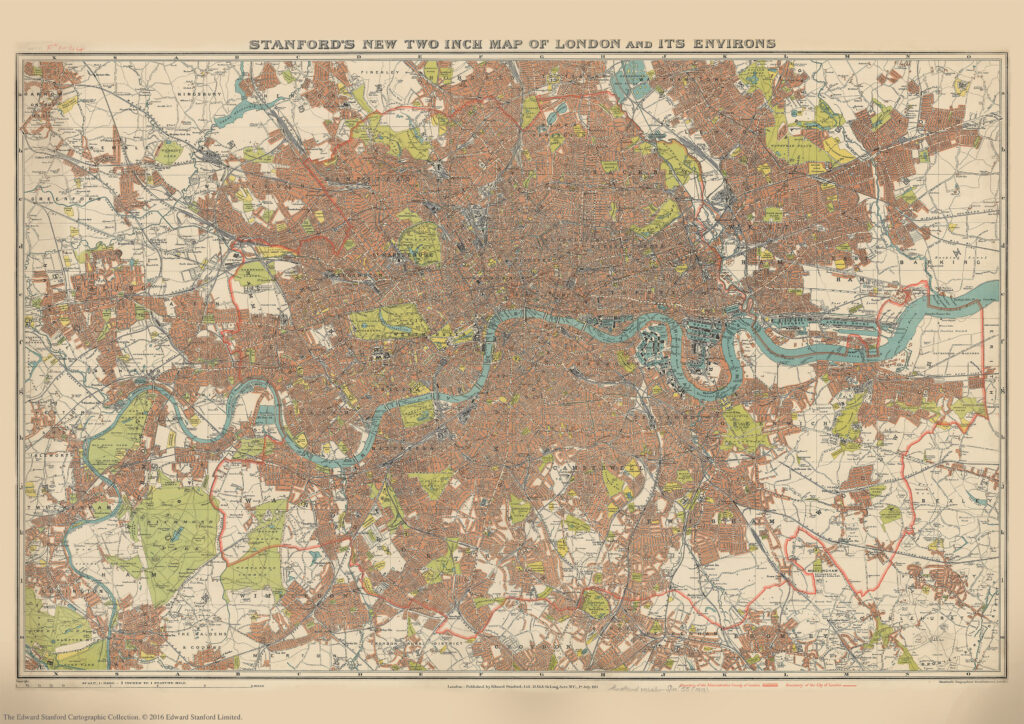
Stanford’s New Two Inch Map of London and its Environs. 1913

We are about to celebrate the 111th birthday of our Stanford’s New Two Inch Map of London and its Environs, 1913.

Published by Edward Stanford Ltd, 12,13 & 14 Long Acre . W.C . 1st July 1913.

This map from our Edward Stanford Cartographic Collection archive shows the capital the year before WW1 broke out at a scale of two inches to one mile. 

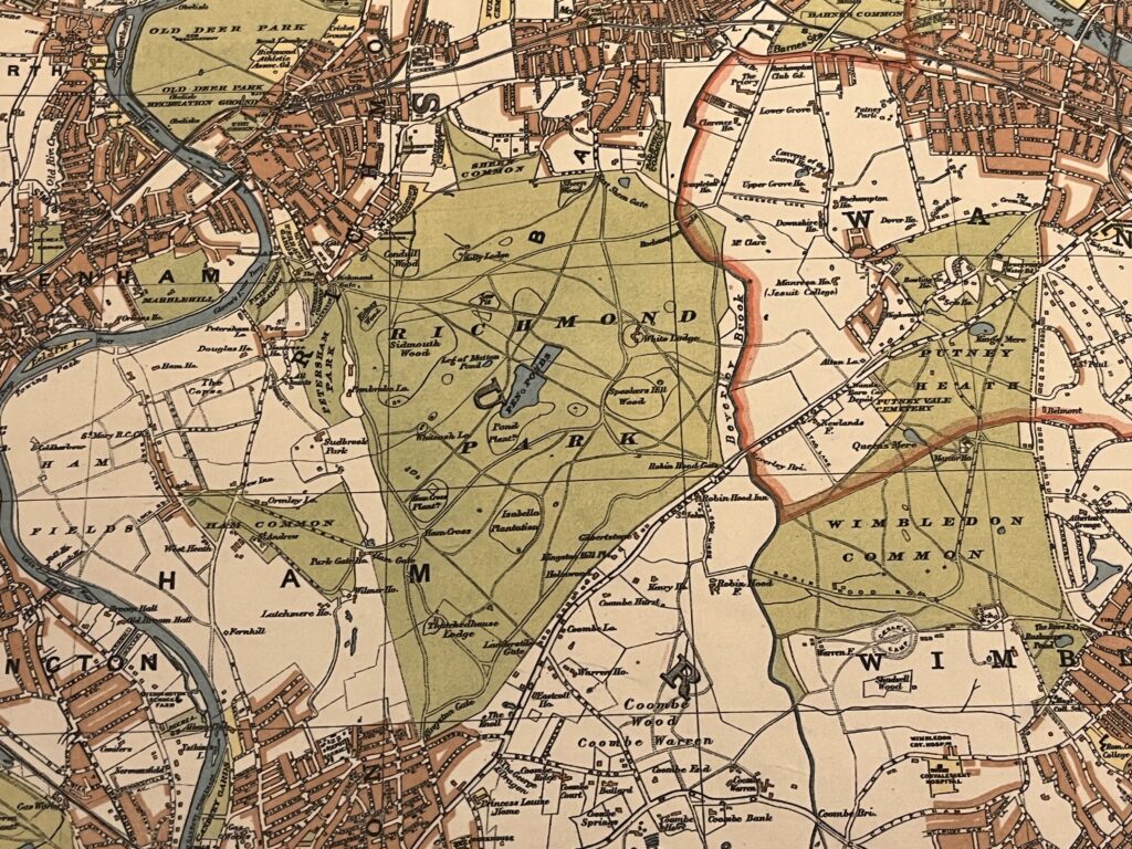
Richmond Park and Wimbledon Common sitting just outside the thick red line showing the Boundary of the Administrative Country of London

A thick red line shows the Boundary of the Administrative Country of London while a thinner red line shows the Boundary of the City of London.

Edwardian London saw a great deal of new building development which was halted by WW1 so not too many major changes would have occurred to this map for a few years.

Continue reading Stanford’s New Two Inch Map of London and its Environs. 1913

 120th Anniversary of the Stanford’s Map of the Siberian Railway

One of the most popular maps in our cartographic archive, The Stanford’s Map of the Siberian Railway was first published by Edward Stanford, Long Acre on the 1st February 1904 making this year its 120th anniversary.

“Not only is this a geographical map, it’s a historical one. A moment in time as well as space.” –Colin Thubron.

Depicting the great land route to China and Korea, this vital rail route was also known as the Moscow Highway or the Tea Route because of the large quantities of tea exported from China. It connected European Russia to Siberia and China.

Continue reading  120th Anniversary of the Stanford’s Map of the Siberian Railway

Map of the Month: 1904 Stanford’s Map of the Siberian Railway

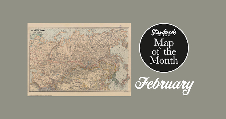
Our Map of the Month for February 2022 is the 1904 Stanford’s Map of the Siberian Railway.

The Stanford’s Map of the Siberian Railway is from a fascinating series of reproductions from our Edward Stanford Cartographic Collection archive.

Depicting the great land route to China and Korea, this map was published by Edward Stanford, Long Acre on the 1st February 1904.

This vital rail route was also known as the Moscow Highway or the Tea Route because of the large quantities of tea exported from China. It connected European Russia to Siberia and China. Construction started in 1730 and was not completed until the mid 19th-century.

Continue reading Map of the Month: 1904 Stanford’s Map of the Siberian Railway

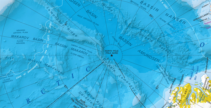
North Pole and South Pole centred maps

Tis the season….

This time of year the North Pole gets a lot of attention so we thought we would show you one of our maps from this region. Continue reading North Pole and South Pole centred maps

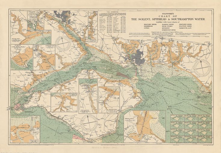
Mappy Monday- Stanford’s Chart of the Solent, Spithead and Southampton Water

The Stanford’s Chart of The Solent, Spithead and Southampton Water is one of the most detailed maps from our Edward Stanford Cartographic Collection archive. Continue reading Mappy Monday- Stanford’s Chart of the Solent, Spithead and Southampton Water

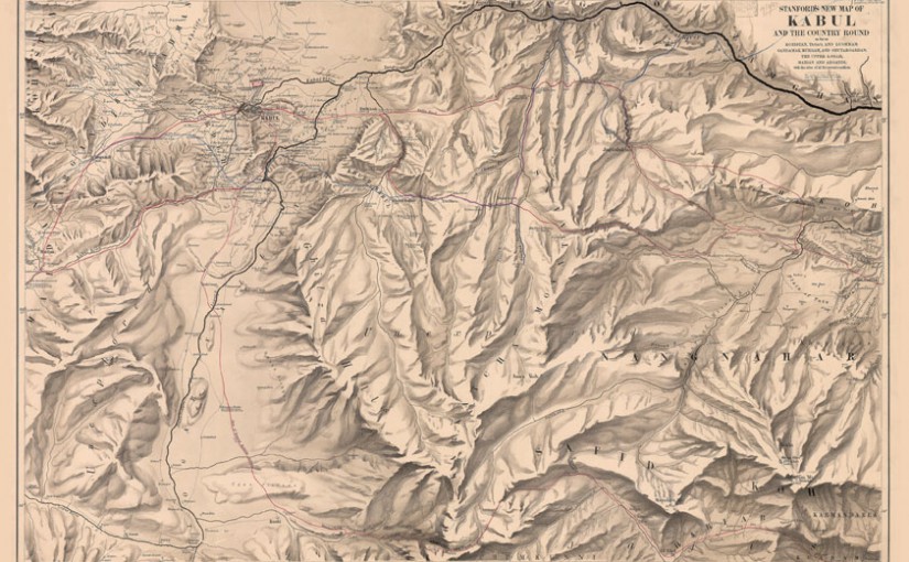
Mappy Monday- Stanford’s New Map of Kabul (1880)

It seems strange to refer to a 136 year-old map as ‘new’.

This 1880 map of Kabul is from our Edward Stanford Cartographic Collection archive. Continue reading Mappy Monday- Stanford’s New Map of Kabul (1880)