Tis the season….
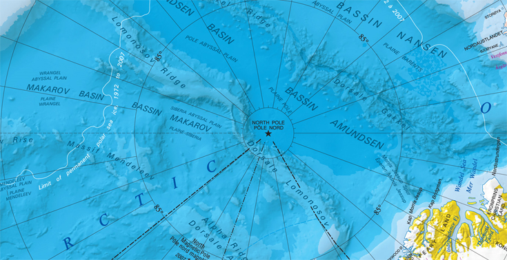
This time of year the North Pole gets a lot of attention so we thought we would show you one of our maps from this region.
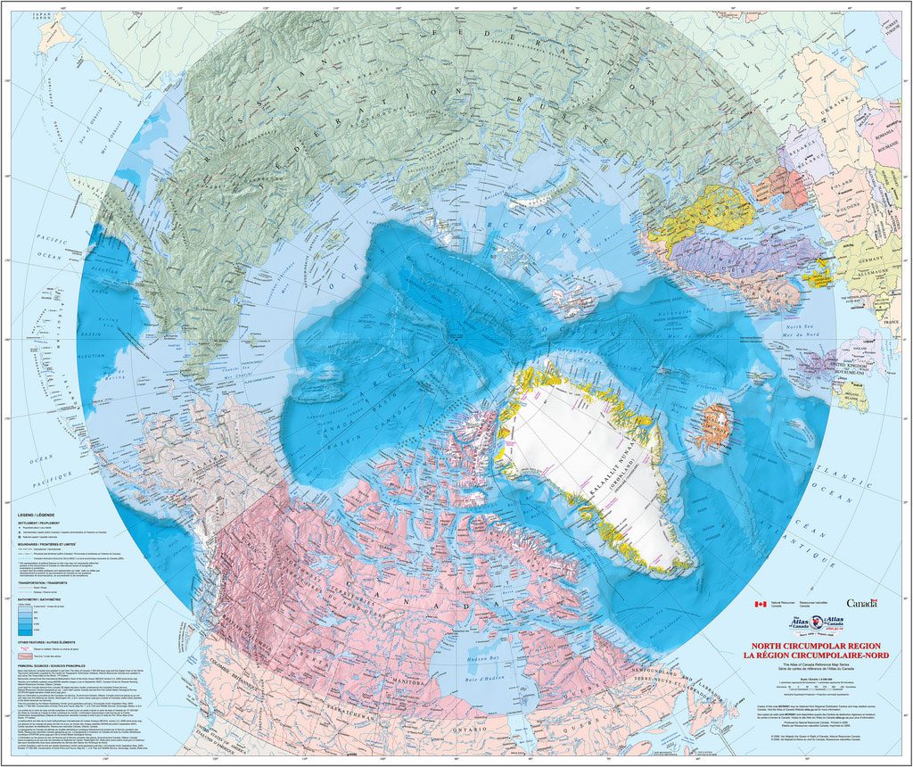
This Circumpolar Region Wall Map uses the azimuthal equidistant projection where all distances are correctly proportioned from the centre point. Made by Natural Resources Canada, this map shows Canada in the middle lower section and all place names are in English and French. On this map the central point is the North Polar Region, which may look familiar because it is the same centre point as the map that features on the United Nations flag but rotated.

Delving into our archives we have found an example of an azimuthal equidistant projection from the other side of the world. 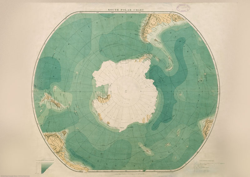 This South Polar Chart was published by Edward Stanfords Ltd in 1901 and includes routes of 19th century Polar expeditions. The perspective, with the South Pole at the centre shows New Zealand on the left and just the foot of South America, Africa and Australia.