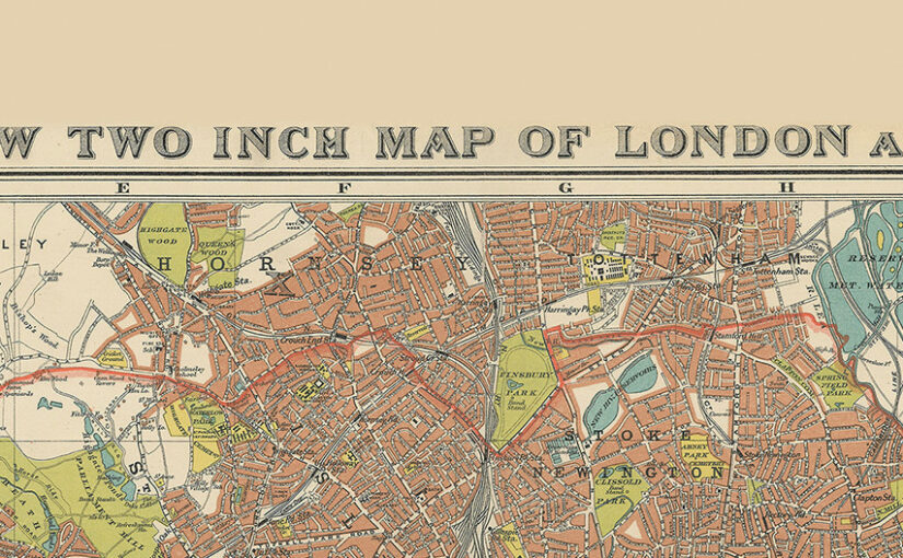
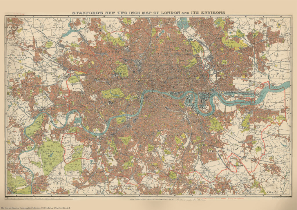
We are about to celebrate the 111th birthday of our Stanford’s New Two Inch Map of London and its Environs, 1913.
Published by Edward Stanford Ltd, 12,13 & 14 Long Acre . W.C . 1st July 1913.
This map from our Edward Stanford Cartographic Collection archive shows the capital the year before WW1 broke out at a scale of two inches to one mile.
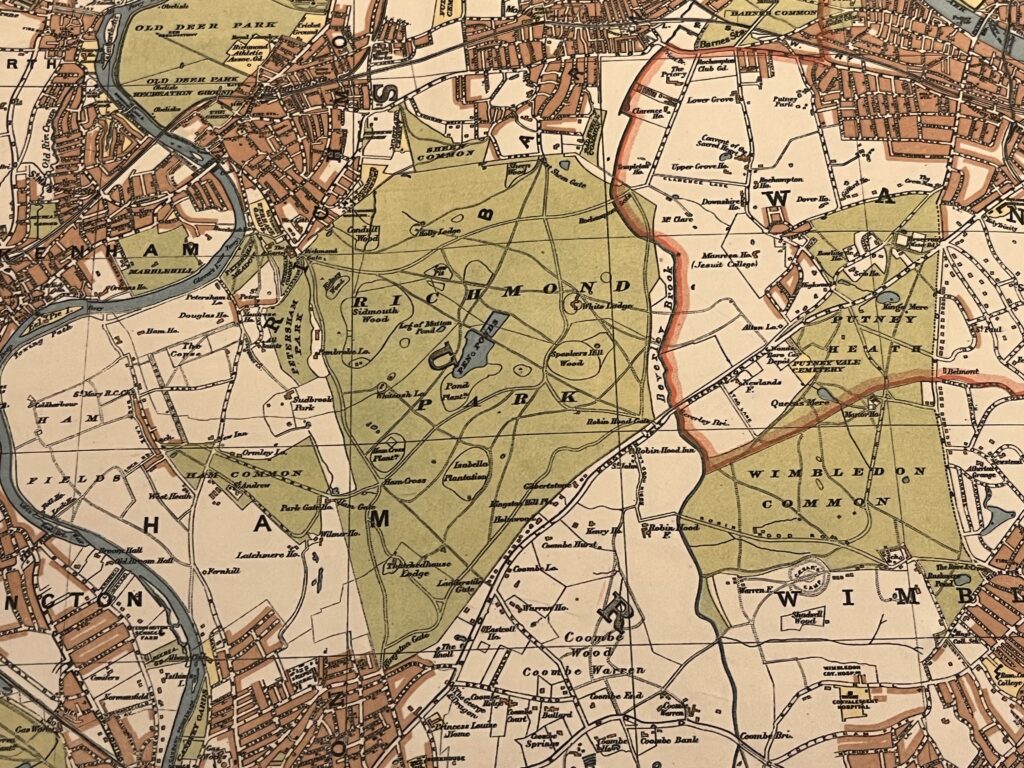
A thick red line shows the Boundary of the Administrative Country of London while a thinner red line shows the Boundary of the City of London.
Edwardian London saw a great deal of new building development which was halted by WW1 so not too many major changes would have occurred to this map for a few years.
Continue reading Stanford’s New Two Inch Map of London and its Environs. 1913