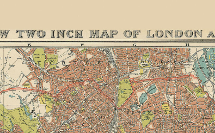
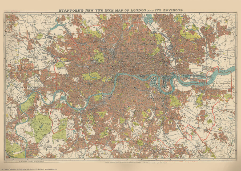
We are about to celebrate the 111th birthday of our Stanford’s New Two Inch Map of London and its Environs, 1913.
Published by Edward Stanford Ltd, 12,13 & 14 Long Acre . W.C . 1st July 1913.
This map from our Edward Stanford Cartographic Collection archive shows the capital the year before WW1 broke out at a scale of two inches to one mile.
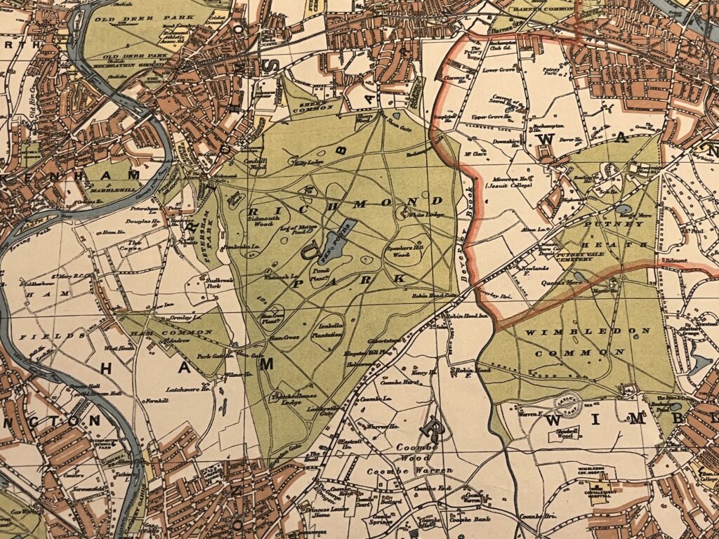
A thick red line shows the Boundary of the Administrative Country of London while a thinner red line shows the Boundary of the City of London.
Edwardian London saw a great deal of new building development which was halted by WW1 so not too many major changes would have occurred to this map for a few years.
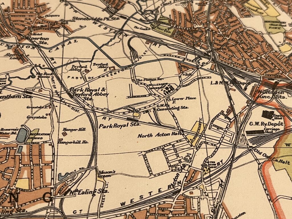
Rail tracks are very prominent with roads paling in comparison. The Road Board actually started working on road classifications this same year.
What was happening in London when this map was made?
In early 1913 unemployment and maternity benefits were introduced
On the 10th of February news reaches London of the failure of Captain Scott’s 1912 Polar expedition. Stanfords provided maps for Scott’s expeditions so this news must have come as a huge blow to the company. We have letters in our archive between Scott and Edward Stanford where Scott is displeased that a map insinuates that Scott and Shackleton had travelled together by showing the markers of both their journeys. Scott claimed that it “implies dual leadership…not in accordance with facts.” To which Edward Stanford replied reassuring Scott “everybody knew that you were the leader” and he offered to amend the map removing Shakleton’s name.
The Women’s Suffrage movement was at its height and with London being the epicentre of their activity during this time, it dominated the headlines until news of the war took over.
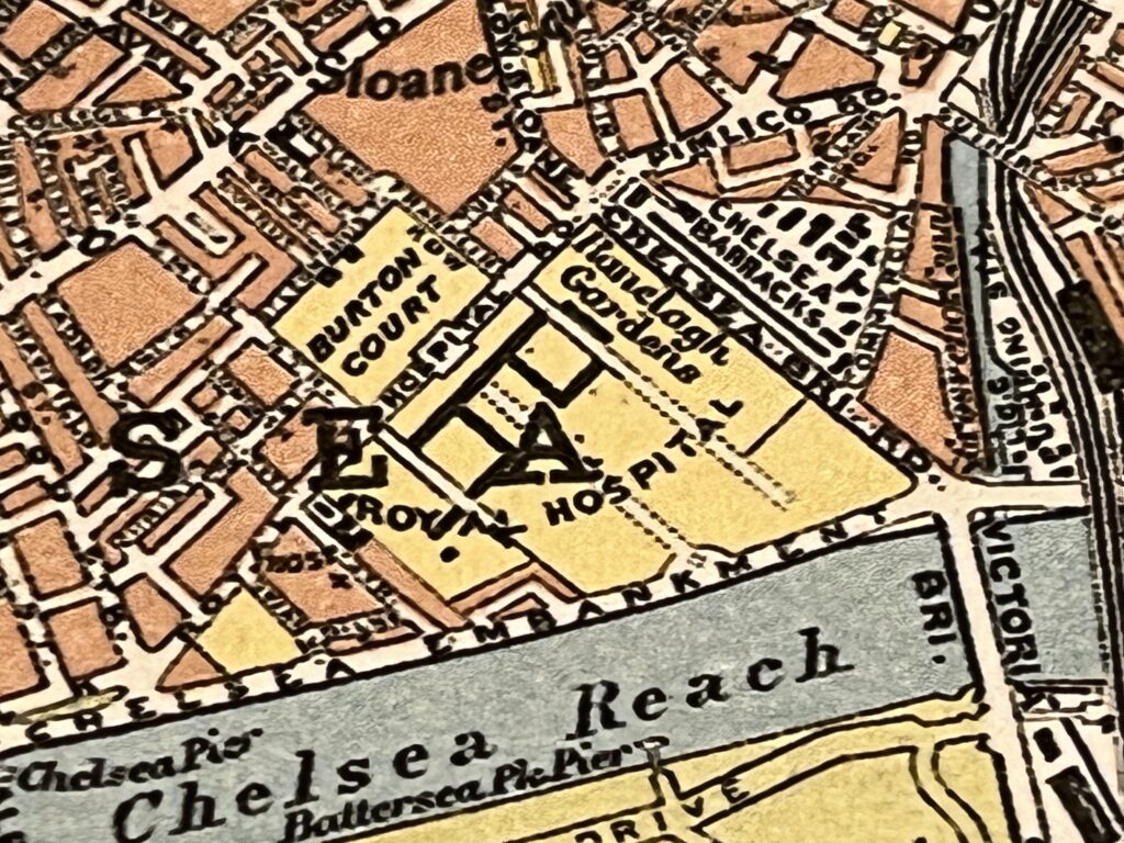
On the 20th May 1913 the first Chelsea Flower Show took place at the Royal Hospital Gardens, Chelsea. Although it was cancelled from 1916 until the end of the war as many RHS staff had been drafted into compulsory conscription and the show was seen as an inappropriate indulgence.
The Treaty of London was signed on May 30th 1913. The Ottoman Empire lost almost all of its remaining European territory including all of Macedonia and Albania which would have meant a lot of amendments needed to be made to maps.
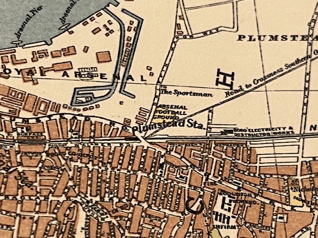
Shortly after this map was published in the September of 1913 Arsenal Football Club moved from Plumstead, South London to their new stadium in Highbury, North London.
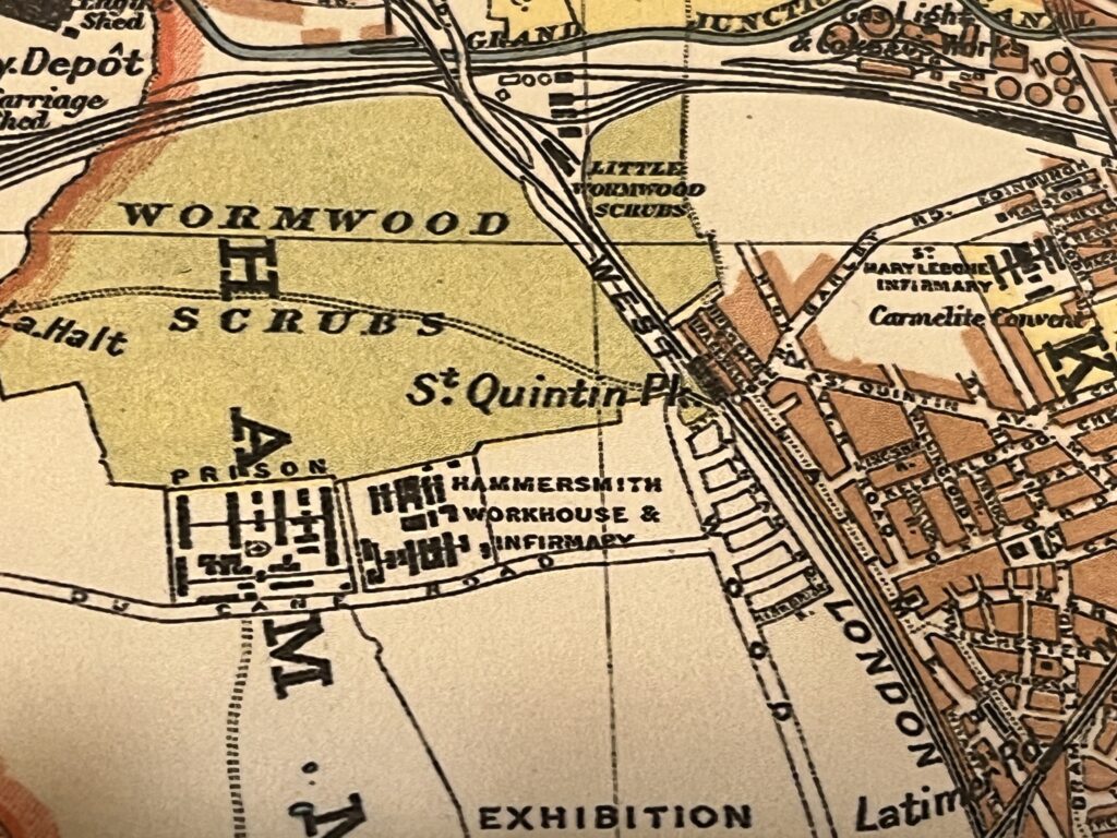
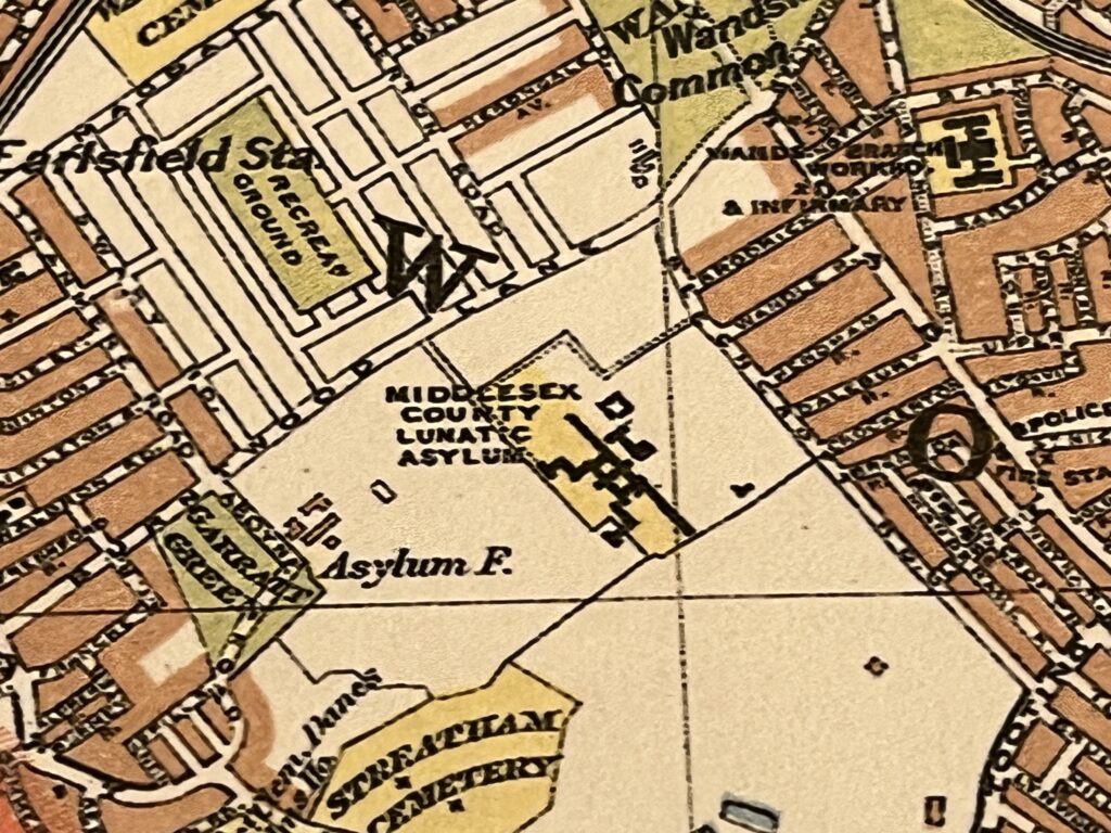
Another sign of the times on this map is the sheer amount of ‘Lunatic Asylums’ and ‘Work Houses.’ You can see Middlesex County Lunatic Asylum clearly with its vast amount of land. During WW1 it became the Springfield War Hospital and famously treated men with shell shock, it remained a hospital in some form or another until quite recently.
Other notable events of 1913:
D H Lawrence’s novel Sons and Lovers is published.
Carter’s Crisps of London introduce commercial manufacture of potato crisps to the UK.
The actress Vivien Leigh was born on 5th November 1913. The composer Benjamin Britten was born 22nd November 1913.
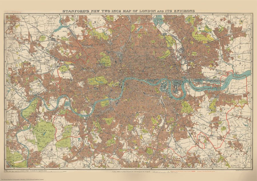
Stanford’s New Two Inch Map of London (1913), A1 paper replica available now for £19.99
This reproduction is from our Print on Demand service so is available in other sizes.