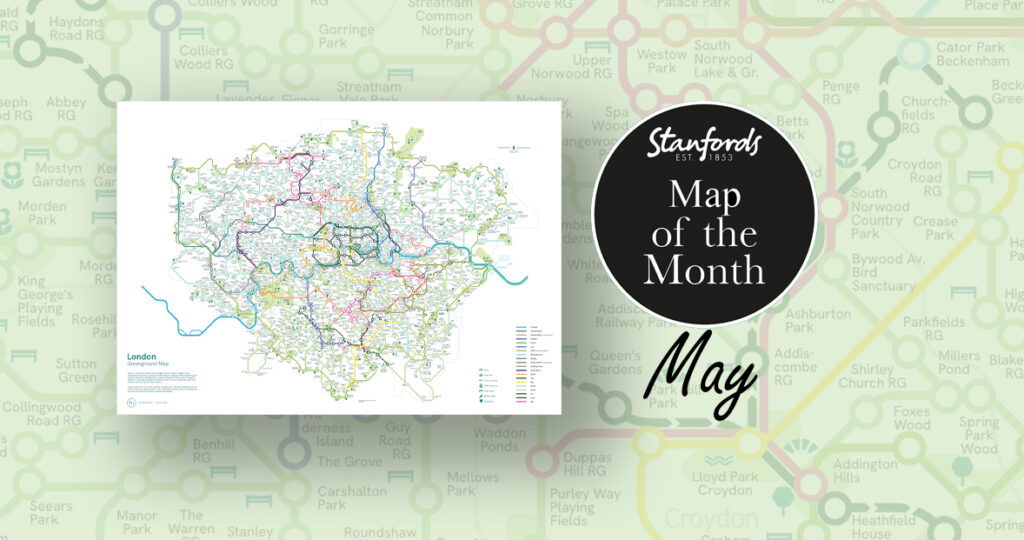
Get your cartographic fix right here with these 10 maps that have caught our attention recently:
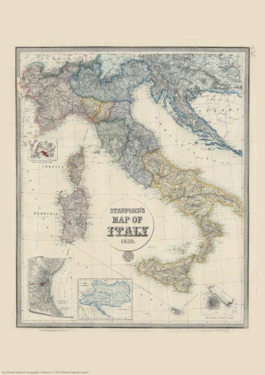
Stanford’s Map of Italy (1859)
£19.99
We are celebrating this map’s 165th birthday. It was originally published on 2nd May 1859 by Edward Stanford.
The map catches the country in an interesting stage of its history, just before the unification, and still shows the individual states: the Kingdom of Piedmont – Sardinia, the Grand Duchy of Tuscany, the Kingdom of the Two Sicilies, the Papal States, etc, all in different colours. Hachures are used to show the spine of the Apennines and other mountainous regions.
Interesting insets show enlargements of the environs of Venice, Genoa and Naples with Vesuvius, and another panel presents the whole of the Austro-Hungarian Empire which then still included Lombardy and north-eastern Italy.
This reproduction is Print on Demand so is available in other sizes.
£11.99
NEW
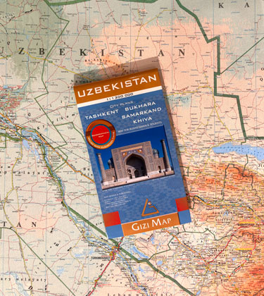
Discover the geographical features of Uzbekistan in the brand new Gizi Map. 1:1,300,000 scale with excellent presentation of the country’s deserts and mountainous terrain. The old Silk Routes network highlighted, plus street plans of Tashkent, Bukhara, Samarkand and Khiva.
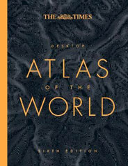
The Times Desktop Atlas of the World
£25
NEW
An excellent world atlas for everyday use at home or work, representing broad coverage. Detailed maps in the distinctive and respected Times style provide balanced, systematic coverage of all parts of the world. Each continent is introduced by a political map showing individual countries, followed by regional maps showing towns and cities, roads, railways, international boundaries and topography.
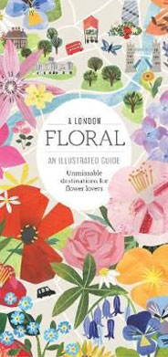
A London Floral. An Illustrated Guide
£8.50
A beautifully illustrated map which folds down to a handy pocket-sized guide listing c.85 addresses of interest. Go on a fragrant trail of London’s key floral destinations, from markets and nurseries to botanic and physic gardens via trend-setting florists and flower schools. Revealing secret spaces bursting with blossom and pointing you to the rose gardens, herb gardens and record-breaking borders in its better known parks.
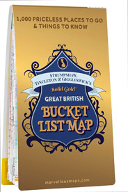
£14.99
Discover everything brilliant Britain has to offer with the Great British Bucket List Map, your Solid Gold Guide to the best of British … everything. Find inspiration with 1,000 incredible places to go and experience road-less-travelled adventures to (mostly) free destinations. Includes a special ‘Golden Buckets’ list of absolutely unmissable destinations. Trip planner on reverse with journey times and carbon footprint for 150 journeys.
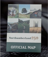
Northumberland 250 Official Map
£7.99
The Official Northumberland 250 route guide and map – the ultimate resource to help you explore, and get the best out of Northumberland’s adventure driving route. 25p from every map purchased is donated to the Kielder Wildwood Project – An ambitious project planting 39,000 trees over 5 years with the aim to restore natural processes and healthy ecosystems in Northumberland.
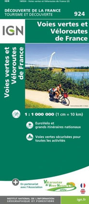
France IGN Greenways and Cycle Routes Map 924
£10.99
Greenways and Cycle Routes of France map from the IGN highlighting numerous international, national and regional cycling routes, indicating their official number and the type of road surface. The map includes a QR code for downloading descriptions of individual routes, plus a list of the EuroVelo and the Grand Itinéraires Nationaux with their downloading code numbers. Colouring of the overprint indicates the official designation plus the surface of each route. The base map is IGN’s general road map of France with additions information indicating railway stations.
Triglav Kartografija WATERPROOF Hiking Map
£12.99
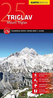
The central part of Slovenia’s Triglav National Park on a light, waterproof and tear-resistant, contoured and GPS compatible map at 1:25,000 from Kartografija, with on the reverse details of routes, local mountain shelters with photos and QR codes. The map is centered on the peak of Triglav and coverage extends north to Kranjska Gora, south to the Bohinj Lake, west to Trenta, and east to Bohinjska Bistrica in the south-eastern corner of the map.
United Kingdom AmazingWorld Wall Map
£12.99
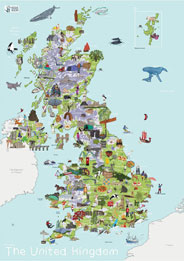
This lovingly crafted map introduces little ones to the many wonders that exist on the British Isles. Spark up conversations and fuel their curiosity to guide them as they discover more about the animals, foods, people, places, cultures, and plants across the United Kingdom. Build their knowledge of not only the landscape of the UK, but what wonders they can find on their doorstep.
Help them develop an understanding the amazing world they call home.
£25.95
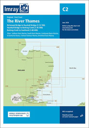
The River Thames is an often undiscovered haven of stunning scenery, wonderful wildlife and brilliant natural beauty. As well as the famous stretches passing through our biggest cities and towns, there is a hidden side to the river – wild and natural, but surprisingly accessible. This chart shows the final stretch, the non-tidal section which runs from Teddington, through London, whereafter it becomes an estuary, then on to the sea. Or the other way, if you read upstream.
If you want to see more maps, do come and see our map collection in store on on our website.