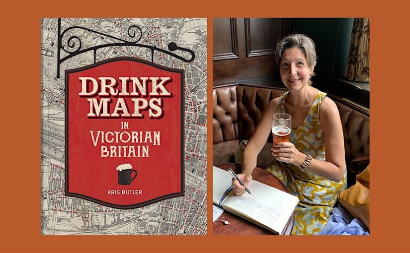
“This is the story of drink maps, and it’s probably not what you think”
Last week we were joined by Kris Butler for a fascinating exploration of the history of alcohol in Victorian Britain via the ‘drink maps’ that were produced by the temperance movement to promote sobriety.

It’s not about pub crawls or plotted ale trails. Instead, these are maps with an agenda that was adamantly hostile to drinking alcohol, made by an organized faction known as the Temperance Movement. The logic at the time of the maps’ creation went as follows: if people are shown how many places there are to buy alcohol, they will be so appalled that they will join the effort to end drinking. In hindsight this logic is obviously flawed.’
Drink Maps in Victorian Britain explores how drink maps of cities were published to fight increasingly rampant alcohol consumption, from Liverpool,Manchester and Sheffield to Oxford, London, and Norwich.
Continue reading Author Event: Drink Maps in Victorian Britain by Kris Butler