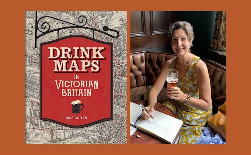
Kris Butler shares with us a map featured in her new book Drink Maps in Victorian Britain.
-By Kris Butler
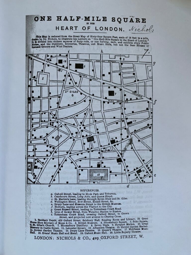
Drink maps were created by anti-drinking groups to deter drinking, not encourage it. But you might not guess that when you first look at them, given that they exaggeratedly and colourfully show where to find a drink. What this 1877 map, called One Half-Mile Square in the Heart of London, lacks in colour it made up for in size. The original was a whopping 8 foot by 8 foot, floor-to-ceiling backdrop to a traveling temperance lecture given by Dr Thomas Nichols. This image is of the pocket version; the larger one is not known to have survived.
Dr Nichols and his wife Mary closed the free-love commune they founded in the US and fled to London 1857 on the eve of the American civil war. They intended to spread the word about their passions: temperance and vegetarianism, which were not unusual alliances at the time coming from physicians and health advocates. Conversely yet simultaneously some doctors were recommending alcohol to improve health. As well as laudanum, a combination of opium and alcohol- to sooth baby’s cough.
Nichols complained about the 276 marks showing public houses, distilleries, and breweries (and music halls and theatres) as he warned about the evils of alcohol. Curiously the map does not show beer houses, licensed grocers or wine dealers which surely would have yielded even more shock value.
I wanted to highlight this map because of its proximity to Stanfords bookshop, and for the exercise recommended by Dr Nichols that can be carried out today. He encouraged those who attended his lecture to go out and experience the streets on a human scale, to walk slowly, looking left and right, to see first-hand door after door of pub entry ways. This can easily be done today by stepping out of the Stanfords’ bookshop door. If you try this please bring your map to my talk on June 6th!
Drink Maps in Victorian Britain is available now for £25.