We were delighted to welcome Philip Parker back to Stanfords on Thursday to talk about his new book History of Cities in Maps.
From ancient civilizations to modern-day metropolises, maps have played a crucial role in urban progress.

We were delighted to welcome Philip Parker back to Stanfords on Thursday to talk about his new book History of Cities in Maps.
From ancient civilizations to modern-day metropolises, maps have played a crucial role in urban progress.
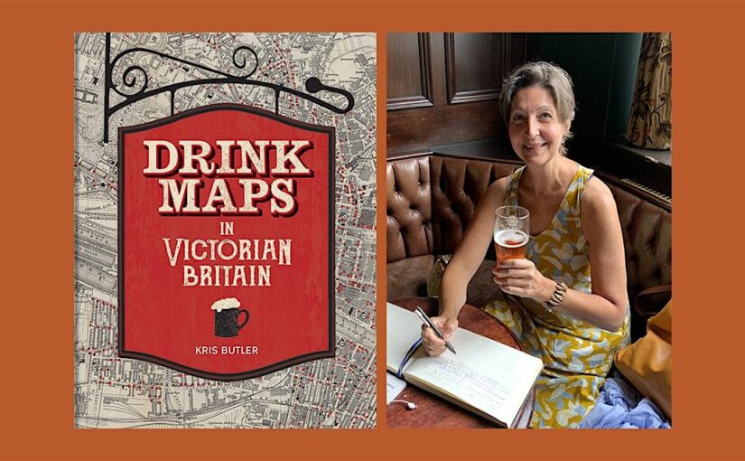
Kris Butler shares with us a map featured in her new book Drink Maps in Victorian Britain.
-By Kris Butler
Drink maps were created by anti-drinking groups to deter drinking, not encourage it. But you might not guess that when you first look at them, given that they exaggeratedly and colourfully show where to find a drink. What this 1877 map, called One Half-Mile Square in the Heart of London, lacks in colour it made up for in size. The original was a whopping 8 foot by 8 foot, floor-to-ceiling backdrop to a traveling temperance lecture given by Dr Thomas Nichols. This image is of the pocket version; the larger one is not known to have survived.
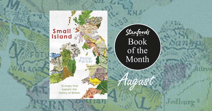
Continue reading Drink Maps in Victorian BritainOur Book of the Month for August is Small Island: A History of Britain in 12 Maps by Philip Parker.
A fascinating analysis of a dozen maps from critical points in British history over the last 2,000 years, from the Celtic period when ‘Britain’ was just a patchwork of tribal kingdoms, to a century ago when the whole of Ireland, India, Australia, much of Africa, Asia and the Americas were also marked as British.
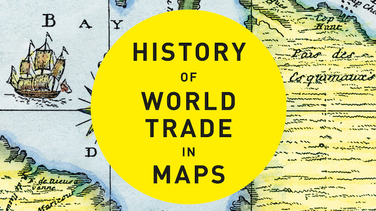
Continue reading Book of the Month: Small Island: A History of Britain in 12 MapsA brand new book gracing the shelves at Stanfords is Philip Parker’s History of World Trade in Maps. In this beautiful book, more than 70 maps give a visual representation of the history of World Commerce, accompanied by text which tells the extraordinary story of the merchants, adventurers, middle-men and monarchs who bought, sold, explored and fought in search of profit and power. The maps are all works of art, witnesses to history, and have a fascinating story to tell.
To celebrate the launch of his new book, we asked Philip to write this blog post to give us all a taster of what we can expect:
In an age when trade negotiations – or the lack of them – seem to degenerate into political point-scoring or abstruse technical arguments over the cocoa content of chocolate – it is easy to forget that without trade, our way of life would collapse. Every country, even North Korea, has to trade the goods it can produce in exchange for those it needs but cannot produce. A trading advantage can be gained by a reputation for quality, specialization, sharp-tongued merchants or skill in spotting shortages. Above all, however, diplomacy acts as a multiplier of trading success.
Continue reading History of World Trade in Maps, Trade and Diplomacy