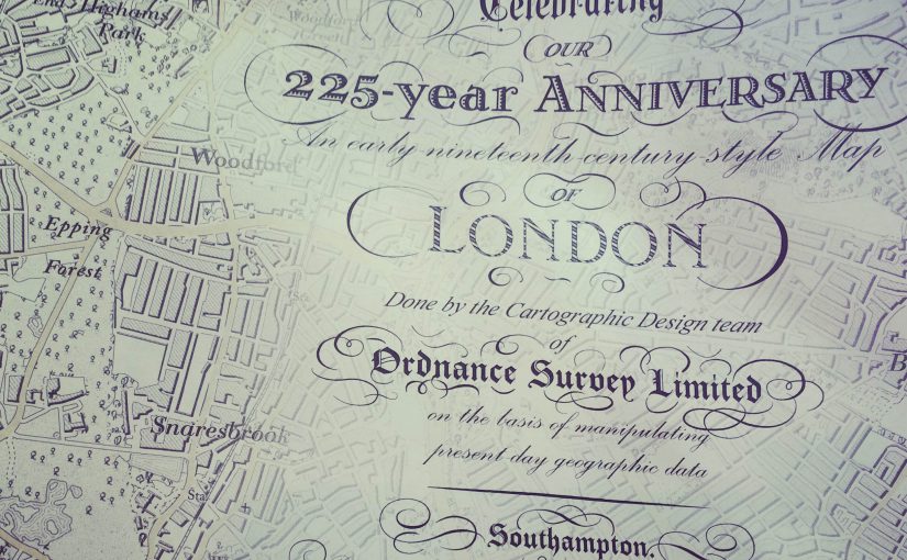
Will you just LOOK at how gorgeous this very special new/old map from Ordnance Survey.
Back in 1801 Ordnance Survey produced their first map. Made for military use, the map was of Kent, the area most vulnerable to French Invasion.
225 years later, OS mapping has come a long way. Moving from a military focus to a leisure aid with the introduction of the Landranger and Explorer ranges.
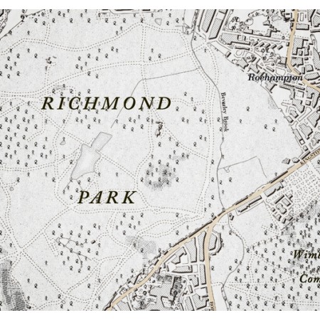
To celebrate their journey, Ordnance Survey have created a limited edition 225th Anniversary map of modern day London using the cartographic design styling of the original 1801 map of Kent.
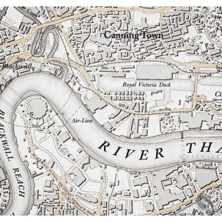
Ordnance Survey Map of London (225th anniversary special) £12.99
To hear from the OS Cartographic Designers who created this map see the OS Blog.