120th Anniversary of the Stanford’s Map of the Siberian Railway

One of the most popular maps in our cartographic archive, The Stanford’s Map of the Siberian Railway was first published by Edward Stanford, Long Acre on the 1st February 1904 making this year its 120th anniversary.

“Not only is this a geographical map, it’s a historical one. A moment in time as well as space.” –Colin Thubron.

Depicting the great land route to China and Korea, this vital rail route was also known as the Moscow Highway or the Tea Route because of the large quantities of tea exported from China. It connected European Russia to Siberia and China.

Continue reading  120th Anniversary of the Stanford’s Map of the Siberian Railway
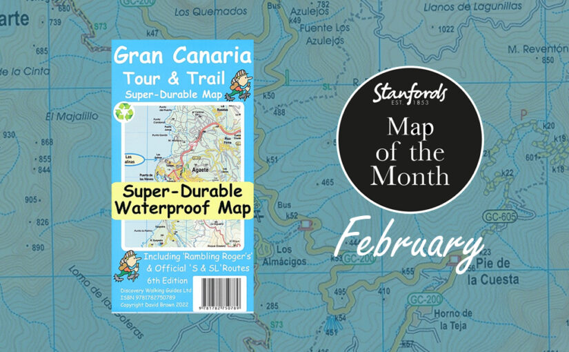
Map of the Month: Gran Canaria Tour & Trail Super-Durable Map

Our February Map of the Month is the Gran Canaria Tour and Trail Super-Durable Map.

One of the most popular destinations with our customers during the end of winter is the Spanish island of Gran Canaria. It is the third-largest and second-most-populous island of the Canary Islands, an archipelago off the Atlantic coast of Northwest Africa. This island is called a “miniature continent” due to the different climates and variety of landscapes found. It has so much to offer with long beaches and dunes of white sand, contrasting with green ravines and picturesque villages. 

Continue reading Map of the Month: Gran Canaria Tour & Trail Super-Durable Map

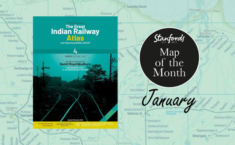
Map of the Month: The Great Indian Railway Atlas

Our Map of the Month for January 2024 is the brand new edition of The Great Indian Railway Atlas with design and cartography by Samit Roychoudhury, published by Darjeeling Himalayan Railway Society.

As more and more travellers are reverting back to rail travel in an attempt to leave less of a carbon footprint, this form of transport is becoming a favoured form. Add to that the fact that India’s railway network is very impressive and there is something so romantic about travelling across a country by train, and it’s no surprise that train traveller numbers are booming. 

Stanfords Travel Trivia:

Continue reading Map of the Month: The Great Indian Railway Atlas

Map of the Month: Great Britain Slow Ways Journey Planners

Our Map of the Month for October 2022 is the Slow Ways Journey Planners by Urban Good. These maps are based on the grassroots initiative to create walking routes across Great Britain.

The printed maps are big, bold, beautiful and designed to inspire and support people imagine, plan and share journeys. 

Slow Ways is an initiative to create a network of walking routes that connect all of Great Britain’s towns and cities as well as thousands of villages and every national park. People can use the routes to walk between neighbouring places or combine routes to travel over longer distances.

Continue reading Map of the Month: Great Britain Slow Ways Journey Planners

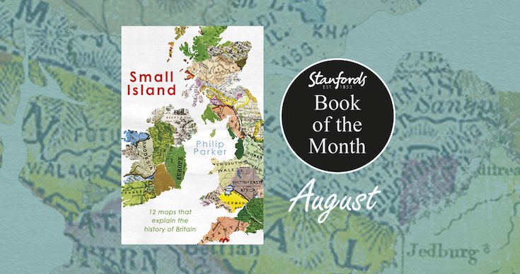
Book of the Month: Small Island: A History of Britain in 12 Maps

Our Book of the Month for August is Small Island: A History of Britain in 12 Maps by Philip Parker.

A fascinating analysis of a dozen maps from critical points in British history over the last 2,000 years, from the Celtic period when ‘Britain’ was just a patchwork  of tribal kingdoms, to a century ago when the whole of Ireland, India, Australia, much of Africa, Asia and the Americas were also marked as British.

Continue reading Book of the Month: Small Island: A History of Britain in 12 Maps

When is a Map Political? by Adam Dant

Adam Dant’s Political Maps is an all-new collection of intricate, absorbing and beautiful maps, focused on the world of politics. Informed by his experiences as the official artist of the UK general election in 2015, these glorious works of art are amusing and subversive, hugely imaginative and packed with eye-catching detail.

Here, the artist and cartographer Adam Dant tells us what makes a map political:

Continue reading When is a Map Political? by Adam Dant

Map of the Month: France IGN Greenways and Cycle Routes Map

On y va!

Whether you’re celebrating Bastille Day with a hike or cycling your own version of the Tour de France, our Map of the Month for July, the France IGN Greenways and Cycle Routes Map will help you plan your route.

Image by Jude Brosnan

Continue reading Map of the Month: France IGN Greenways and Cycle Routes Map

Map of the Month: CartDeco Earth Map

Our Map of the Month for June 2022 is the Earth Wall Map by CartDeco.

This map has been five years in the making, going through many iterations and checks to make this one of the finest map of our planet on the market. The details have been meticulously checked with an emphasis on including indigenous place names where appropriate, in particular in Canada, Australia and New Zealand.

Continue reading Map of the Month: CartDeco Earth Map

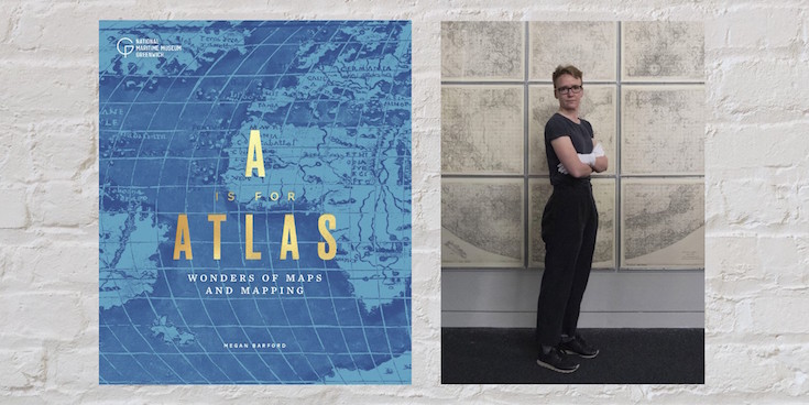
A is for Atlas by Megan Barford

-by Megan Barford, Curator of Cartography at Royal Museums Greenwich and author of A is for Atlas: Wonders of Maps and Mapping.

As a map curator, I often get asked about my favourite map and it’s terribly difficult to choose. In the collection of Royal Museums Greenwich there are near-pristine sixteenth-century maps illuminated with gold and maps reduced to scraps through use at sea. There are maps that show the involvement of women in the book and print trades in eighteenth-century London, alongside maps that came out of trade union activity during the Second World War. Luckily, in my new book, A is for Atlas, I’ve been able to pick 104 favourites, organised according to alphabetical themes in a treasury of stories about map making and use, and about materials and techniques, from the thirteenth century to the present day. Here, D is for display, E is for Engraving, F is for Fake. Together the themes help us to interrogate maps and mapping in different ways, and understand the rich human stories that can be found throughout the collection of Royal Museums Greenwich.

Continue reading A is for Atlas by Megan Barford

Map of the Month: NC500 Collins Pocket Map

Our Map of the Month for May 2022 is the NC500 Collins Pocket Map. This fold out map of the hugely popular North Coast 500 is a NEW edition from Collins Maps.

The North Coast 500 is a scenic route around the north coast of Scotland that was launched in March 2015 by the Tourism Project Board of the North Highland Initiative. Linking many must see features in the north Highlands of Scotland in one touring route, It is commonly known as Scotland’s Route 66 and regularly features in lists of best drives in the world.

Continue reading Map of the Month: NC500 Collins Pocket Map