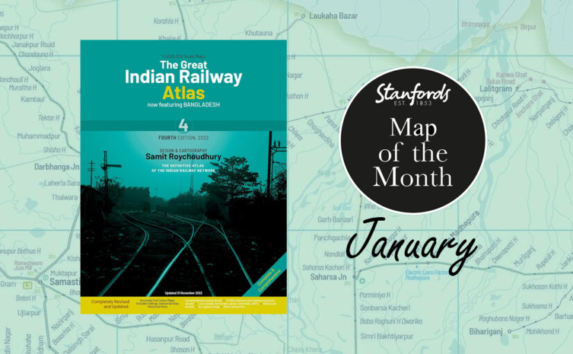
Our Map of the Month for January 2024 is the brand new edition of The Great Indian Railway Atlas with design and cartography by Samit Roychoudhury, published by Darjeeling Himalayan Railway Society.
As more and more travellers are reverting back to rail travel in an attempt to leave less of a carbon footprint, this form of transport is becoming a favoured form. Add to that the fact that India’s railway network is very impressive and there is something so romantic about travelling across a country by train, and it’s no surprise that train traveller numbers are booming.
Stanfords Travel Trivia:
India has one of the largest railway networks in the world, with almost 25 million passengers using the network daily. The Indian Railways’ track is spread across a massive 115,000 km, making it the largest rail network in Asia. The entire track covers a route length of 67,368 km. The full track length of Indian Railways can circle the equator 1.5 times.
The Great Indian Railway Atlas includes extensive up-to-date information on track status, facilities, etc. It is the perfect companion to take on your trip to India and a must have for any rail enthusiasts.
Features:
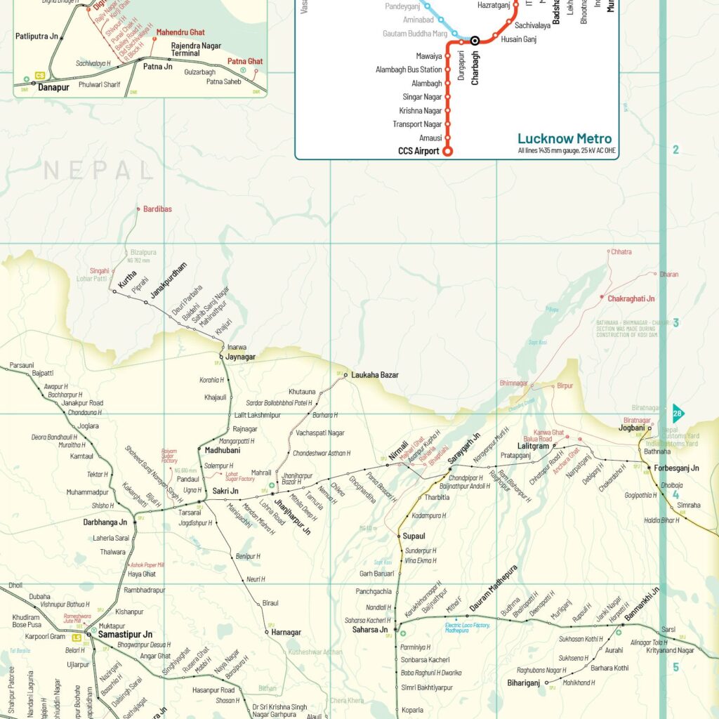
– 90 pages of full colour maps, of 1:1,000,000 scale, referenced by a locator map.
– Accurate alignments and locations.
– Approximately 13,000 locations, including existing and closed stations, sidings, control locations etc indexed and with their respective station codes. Divisional and zonal headquarters identified.
– Almost every closed line and station depicted.
– A majority of sidings and industrial lines indicated.
– Tracks show gauge, whether single or double, electrification, etc. Divisional jurisdiction shown using markings.
– Most works in progress including new lines, gauge conversions, electrification, including those under survey, etc.
– All Facilities such as Locomotive Sheds, EMU/DMU car-sheds, important Freight Yards, Goods Sheds, Container Terminals, Accident Relief Train locations marked.
– With 46 detailed inset maps of complex areas.
– With 13 inset maps of the cities with Metro systems.
– Separate Narrow Gauge Map of Bengal.
– Glossary of name/spelling changes.
– Single spread At-a-Glance Map of entire system, showing the jurisdiction of the various zones.
– Dedicated Freight Corridor Alignment marked.
-Gap in map near the binding so details do not get cut off.
This edition also includes the Bangladesh railway network.
The Great Indian Railway Atlas is available now for £29.99
Planning a trip to India?
Make sure you check out our comprehensive selection of travel guides, maps and literature for you to read in situ.

Stanfords Staff recommendation:
Around the World in 80 Trains by Monisha Rajesh.
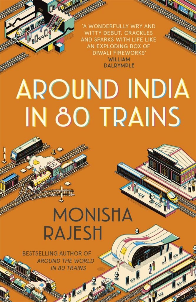
The railway networks of India lend themselves as a great setting for this book. Monisha Rajesh’s writing is really funny and her journalistic background offers an informed perspective. Her childhood memories of India are very different to her experiences as a tourist attempting to get around India using an array of trains. – Vivien Godfrey, CEO of Stanfords.