Map of the Month: Faroe Islands Solberg-F&B Road Map

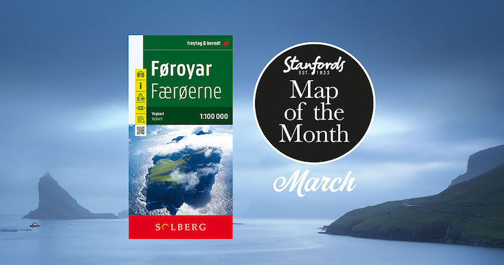
Our Map of the Month for March 2022 is the Faroe Islands Solberg-F&B Road Map

18 jagged volcanic islands make up the Faroe Islands. A unique and inimitable destination at the edge of the world. A place truly unspoiled, unexplored and unbelievable.

Our wanderlust levels have recently been heightened by this brand new edition of the Faroe Islands map published by Freytag & Berndt in cooperation with the locally based Henrik Solberg. It includes the newly opened 11km underwater tunnel network that connects the islands of Streymoy and Eysturoy. At it’s deepest the tunnel is 613ft below sea level and it features the world’s first underwater roundabout.

Continue reading Map of the Month: Faroe Islands Solberg-F&B Road Map
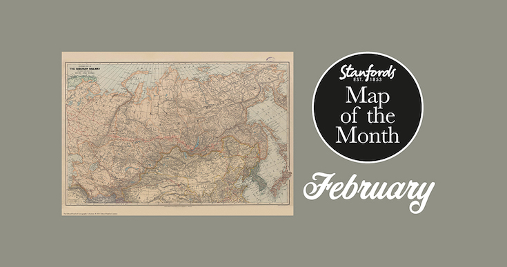
Map of the Month: 1904 Stanford’s Map of the Siberian Railway

Our Map of the Month for February 2022 is the 1904 Stanford’s Map of the Siberian Railway.

The Stanford’s Map of the Siberian Railway is from a fascinating series of reproductions from our Edward Stanford Cartographic Collection archive.

Depicting the great land route to China and Korea, this map was published by Edward Stanford, Long Acre on the 1st February 1904.

This vital rail route was also known as the Moscow Highway or the Tea Route because of the large quantities of tea exported from China. It connected European Russia to Siberia and China. Construction started in 1730 and was not completed until the mid 19th-century.

Continue reading Map of the Month: 1904 Stanford’s Map of the Siberian Railway

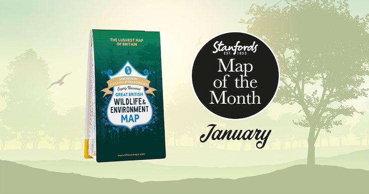
Map of the Month: ST&G’s Great British Wildlife & Environment Map

Stanfords Map of the Month for January 2022 is the ST&G’s Great British Wildlife & Environment Map .

Biodiverse Britain is a natural phenomenon to be reckoned with, the perfect environment for swanning about on wild adventures. From Orkney’s orcas to the seals of Scilly, Britain’s kaleidoscope of natural wonders is ripe for exploring, adoring and – most definitely – restoring. Enter this map, a semi-feral celebration of Britain’s species, habitats and the efforts being made to protect them. 

Featuring over 1,500 wildlife hotspots, conservation projects, eco events and gloriously green days out, with handy summaries of key environmental issues and steps you can take to help address them, it’s the grassroots guide to having a whale of a time around wild Britain.

Continue reading Map of the Month: ST&G’s Great British Wildlife & Environment Map

Brilliant Maps

Maps that help put the last 12 months in some context

-by Ian Wright

I’m honoured that Brilliant Maps An Atlas for Curious Minds has been selected for Stanfords December book of the month. I really enjoyed writing it and hope you’ll enjoy reading it just as much. 

Since December is the last month of the year, I thought I’d choose a few maps that help put the last 12 months in some context. And given Christmas is coming I can’t resist including a couple of Christmas themed maps too.

Continue reading Brilliant Maps

Book of the Month: Brilliant Maps

Stanfords Book of the Month for December 2021 is Brilliant Maps: An Atlas for Curious Minds by Ian Wright, illustrated by Infographic.ly with a foreword by Tim Harford.

See the world anew with this unique and beautifully designed infographic atlas.

Which nations have North Korean embassies? Which region has the highest number of death metal bands per capita? How many countries have bigger economies than California? Who drives on the ‘wrong’ side of the road? And where can you find lions in the wild?

Continue reading Book of the Month: Brilliant Maps

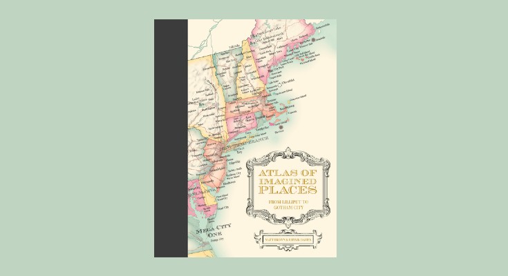
Atlas of Imagined Places: From Lilliput to Gotham City

Atlas of Imagined Places: From Lilliput to Gotham City is a stunning map collection of invented geography and topography drawn from the world’s imagination.

The maps feature fictional buildings, towns, cities and countries plus mountains and rivers, oceans and seas. Ever wondered where the Bates Motel was based? Or Bedford Falls in It’s a Wonderful Life? The authors have taken years to research the likely geography of thousands of popular culture locations that have become almost real to us. 

Here is an extract from the chapter on CENTRAL AMERICA AND THE CARIBBEAN by Matt Brown & Rhys B. Davies with maps by Mike Hall.

Continue reading Atlas of Imagined Places: From Lilliput to Gotham City

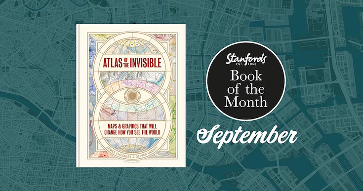
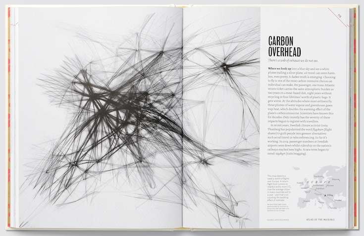
Book of the Month: Atlas of the Invisible

Atlas of the Invisible: Maps & Graphics That Will Change How You See the World by James Cheshire and Oliver Uberti £25.00

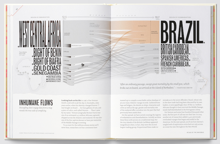
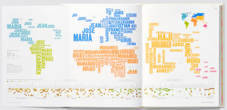
In our Book of the Month for September award-winning geographer-designer team James Cheshire and Oliver Uberti redefine what an atlas can be. Transforming enormous data sets into rich maps and cutting-edge visualisations, they uncover truths about our past, reflect who we are today, and highlight what we face in the years ahead. With their joyfully inquisitive approach, Cheshire and Uberti explore happiness and anxiety levels around the globe; they trace the undersea cables and cell towers that connect us; they examine hidden scars of geopolitics; and illustrate how a warming planet affects everything from hurricanes to the hajj.

Continue reading Book of the Month: Atlas of the Invisible

River Danube: Extract from Atlas of Vanishing Places

Maps offer us a chance to see not just how our world looks today, but how it once looked. But what about the places that are no longer mapped?

Cities forgotten under the dust of newly settled land? Rivers and seas whose changing shape has shifted the landscape around them? Or, even, places that have seemingly vanished, without a trace?

Continue reading River Danube: Extract from Atlas of Vanishing Places

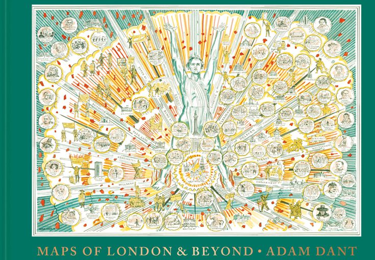
Five examples of how the map of London isn’t always as it first appears

Artist and cartographer Adam Dant surveys London’s past, present and future with his beautiful, witty and subversive cartographic pieces. His astonishing maps offer a compelling view of history, lore, language and life in the capital and beyond.

To celebrate the launch of ‘Maps of London & Beyond’ we asked Adam Dant to give us Five examples of how the map of London isn’t always as it first appears. Continue reading Five examples of how the map of London isn’t always as it first appears

5 Reasons why Soviet Maps are Amazing by John Davies and Alexander J. Kent

To coincide with the release of their new book The Red Atlas John Davies and Alex Kent explain why the many thousands of maps secretly produced by the Soviet Union are so fascinating… Continue reading 5 Reasons why Soviet Maps are Amazing by John Davies and Alexander J. Kent