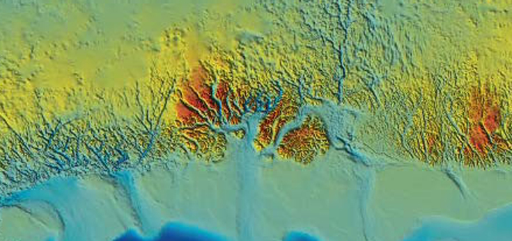
Researchers at British Antarctic Survey (BAS), University of Bristol and University of California at Irvine (UCI), have produced a new map of what lies beneath the Greenland Ice Sheet. By providing scientists with the most comprehensive, high resolution and accurate picture of the bedrock and coastal seafloor, it reveals how the glaciers that drain from the Greenland Ice Sheet will contribute to future sea-level rise. Continue reading NEW MAP: Greenland Basal Topography BedMachine v3
Tag: Cartography

The Art of Cartographics: Designing the Modern Map
We’ve seen so many different types of cartography in our time. From the archive replicas in our map room to illustrated maps by new artists. It’s so interesting to see how it is evolving as an art and how different people interpret maps differently. The Art of Cartographics is a collection of maps that showcases the most creative and interesting design projects from around the world. It features geographical maps, fictional maps and fresh and innovative approaches to cultural, economic and political maps. Here is a glimpse of what’s inside: Continue reading The Art of Cartographics: Designing the Modern Map
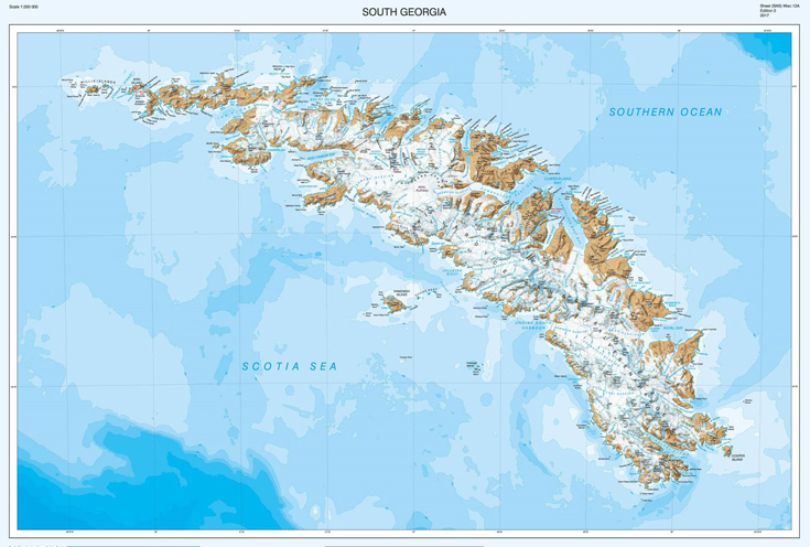
NEW MAP: South Georgia and the Shackleton Crossing
The cartographers at British Antarctic Survey (BAS) have re-produced a high-resolution updated map of the sub-antarctic island of South Georgia. The island, situated at 37°W 54°10’S is a haven for wildlife, a centre for wildlife and fisheries research and famous for the epic voyage by Sir Ernest Shackleton and his men in May 1916. Continue reading NEW MAP: South Georgia and the Shackleton Crossing
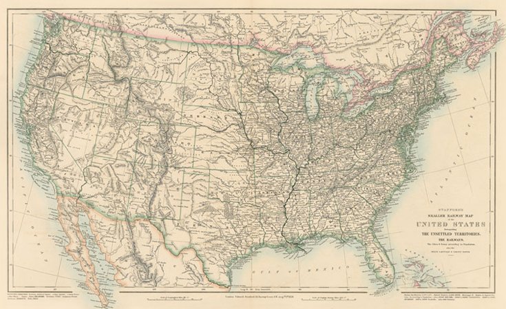
Stanford’s Folio Smaller Railway Map of the United States (1876)
The Stanford’s Smaller Railway Map of the United States is from a fascinating series of reproductions from our Edward Stanford Cartographic Collection archive. This map was originally published in 1876, the year the United States celebrated its centennial. Continue reading Stanford’s Folio Smaller Railway Map of the United States (1876)

Know your boundaries
As cartographers, we’ve been providing Parliamentary Constituency maps for decades. Political parties request custom maps so that they can see their wards and constituencies for different regions. Continue reading Know your boundaries
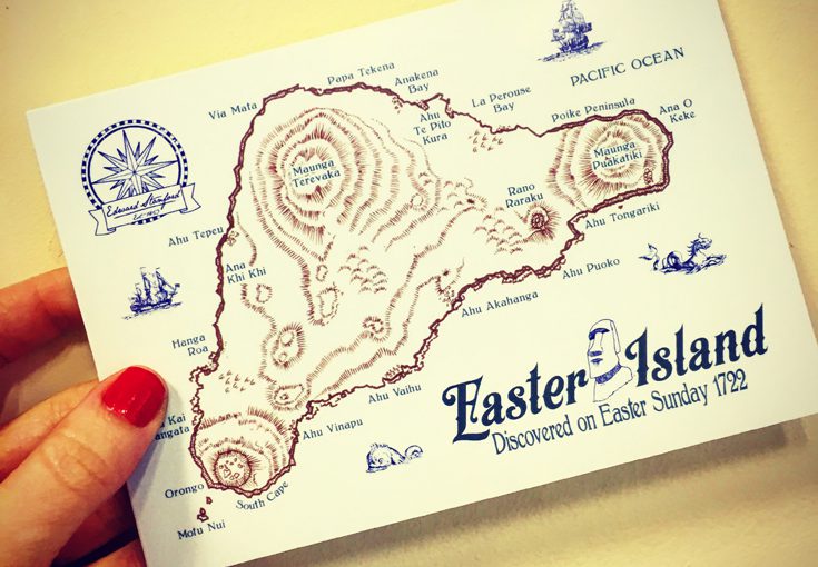
Happy Easter Island
Easter Island (also known as Rapa Nui and Isla de Pascua) is one of the most remote inhabited islands in the world. The nearest continental land mass is over 3,700 kilometres away.
The Dutch explorer Jacob Roggeveen landed on the Island on Easter Sunday in 1722 and gave it its European name. Continue reading Happy Easter Island
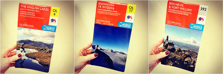
OS Walking Map Offer
We’ve gained a whole extra hour of daylight and are thinking of retiring our coats in favour of jackets. To celebrate this sudden turn of events we have a 3 for £20 offer on all Ordnance Survey walking paper maps so you can spend as much time as possible outdoors as possible. Continue reading OS Walking Map Offer
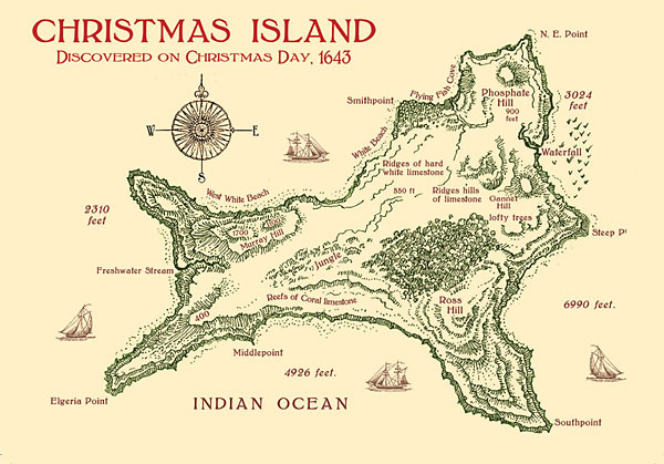
Merry Christmas Island
It wouldn’t be Christmas at Stanfords without a festive cartographic reference, and what could be more Christmassy than Christmas Island? Continue reading Merry Christmas Island
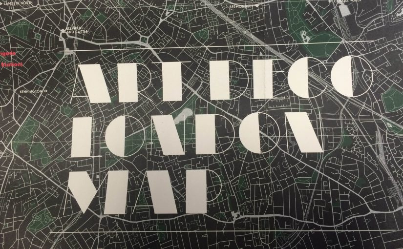
Mappy Monday- Art Deco London Map
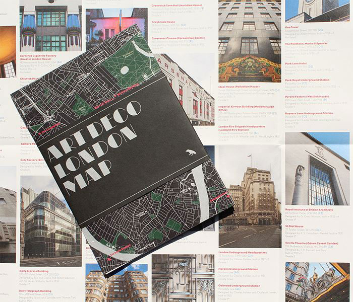
This new map from Blue Crow Media features London’s finest Art Deco buildings including lots of Piccadilly line tube stations, Battersea Power Station, Arsenal Stadium, Brockwell Lido, Hoover Building, The Savoy and The Grampians. Continue reading Mappy Monday- Art Deco London Map

Guess the Shakespeare play from our maps
To pay homage to the Bard on the 400th anniversary of his death, we have dug out some of our maps that show the locations of some of his plays.