
As cartographers, we’ve been providing Parliamentary Constituency maps for decades. Political parties request custom maps so that they can see their wards and constituencies for different regions.

Ahead of the General Election on Thursday we have created a Great Britain: Westminster Parliamentary Constituencies map. Using Ordnance Survey data we’ve shown all of the current up–to–date constituency boundaries so you can get to know the electoral geography of Great Britain. Large scale inserts of the following metropolitan areas: London, Central Scotland, South & West Yorkshire, the West Midlands, Wirral, Merseyside & Greater Manchester for ease of use.
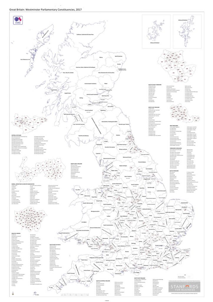
Also available in black and white, in case you want to stay up and chart the election results with some colouring pencils.