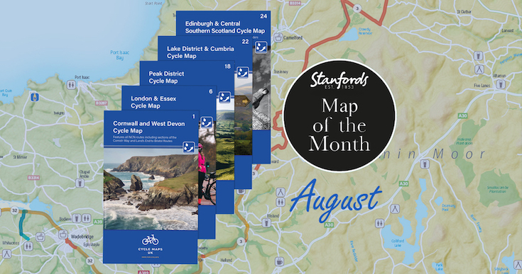
Our Map of the Month for August is not just one map, we are excited to introduce the first five maps in a brand new series that will soon cover the whole of the UK.
Cycle Maps UK are produced at a scale of 1:100 000 showing important features including the National cycle Network. Sections on road, off road and traffic free are all shown in differing colours along with their route number. Other roads and their classification are shown enabling you to link rides or explore sections and discover new routes at home or further afield.
Continue reading Map of the Month: Wheelie great BRAND NEW cycling maps