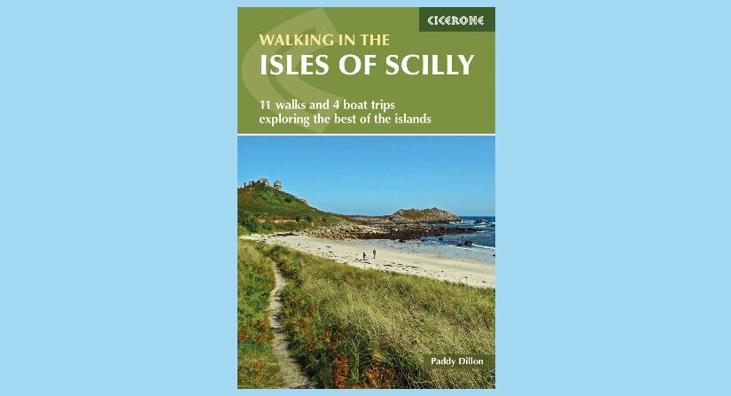
-by Paddy Dillon
Of all the British Isles, the Isles of Scilly are the most blessed. Basking in sunshine, rising green and pleasant from the blue Atlantic Ocean, fringed by rugged cliffs and sandy beaches, these self-contained little worlds are a joy to explore. They are as close to a tropical paradise as it is possible to be in the British Isles, with more sunshine hours than anyone else enjoys. There are no tall mountains, but the rocks around the coast are as dramatic as you’ll find anywhere. There are no extensive moorlands, but you’ll forget that as you walk round the open heathery headlands. The islands may be small in extent, but the eye is deceived and readily imagines vast panoramas and awesome seascapes. Views to the sea take in jagged rocks that have ripped many a keel and wrecked many a ship. The islands are clothed in colourful flowers, both cultivated and wild, and attract a rich bird life, including native breeding species and seasonal migrants. And always, there is the sea.
The Isles of Scilly form the smallest of Britain’s Areas of Outstanding Natural Beauty, and their historic shores have been designated as Heritage Coast. The surrounding sea is protected as a Marine Park of great biodiversity. Archaeological remains abound, not only on the islands, but also submerged beneath the sea. The Isles of Scilly are special, revealing their secrets and charms to those who walk the headlands, sail from island to island, and take the time to observe the sights, sounds and scents of the landscape. While the walks in this guidebook could be completed in as little as a week, a fortnight would allow a much more leisurely appreciation of the islands, and leave memories that will last for a lifetime.
Continue reading Walking in the Isles of Scilly: The Garrison Wall