Happy National Walking Day. Today is the perfect day to plan your next walking adventure and we have some great products to help you on your way:
from £12.99
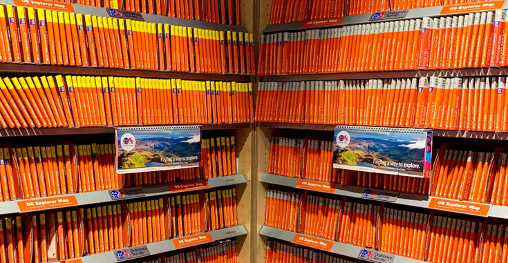
The Explorer series, Ordnance Survey’s most detailed maps recommended for anyone enjoying outdoor activities, provides topographic coverage of Great Britain at 1:25,000 on GPS compatible maps with hiking trails, cycling routes and extensive tourist information. Each printed map is available either on paper or as a waterproof and tear-resistant OS Active Map, as indicated in its title. Britain’s National Parks and other areas of particular tourist interest are presented on often double-sided OL (Outdoor Leisure) maps, whilst most standard format Explorers cover an area of 30 x 20km (approx. 19 x 12 miles).
Continue reading 10 Recommendations for National Walking Day