Happy Trig Week/ Our bestselling OS Explorer Maps

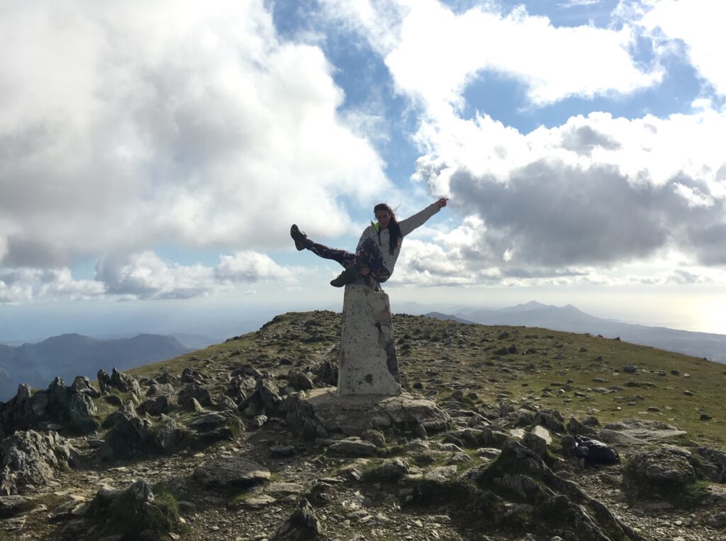
On 18 April 1936 a group of surveyors gathered around a white concrete pillar in a field in Ashby and began the retriangulation of Great Britain.

That trig pillar is still standing 88 years on, along with thousands more around the country. Still much loved by walkers today, Trig Bagging is a growing hobby. Just search for the red triangles on your Ordnance Survey maps.

If you fancy going Trig Bagging, here are our bestselling Ordnance Survey Explorer Maps of 2024 (so far):

Continue reading Happy Trig Week/ Our bestselling OS Explorer Maps
10 Recommendations for National Walking Day

Happy National Walking Day. Today is the perfect day to plan your next walking adventure and we have some great products to help you on your way:

Ordnance Survey Explorer Maps

from £12.99

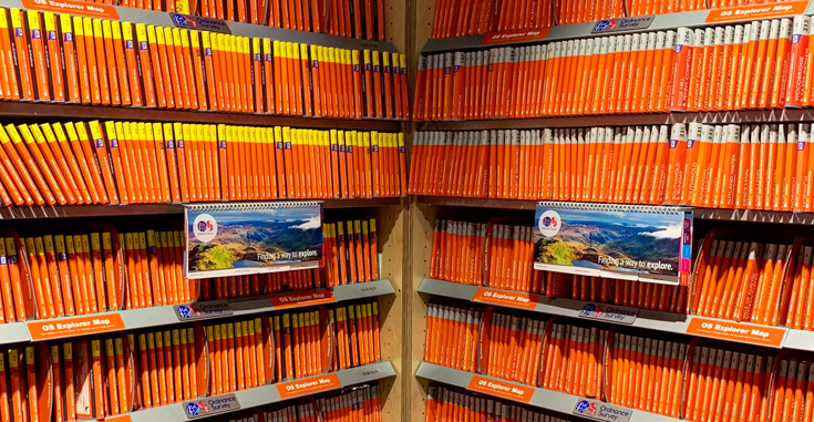
The Explorer series, Ordnance Survey’s most detailed maps recommended for anyone enjoying outdoor activities, provides topographic coverage of Great Britain at 1:25,000 on GPS compatible maps with hiking trails, cycling routes and extensive tourist information. Each printed map is available either on paper or as a waterproof and tear-resistant OS Active Map, as indicated in its title. Britain’s National Parks and other areas of particular tourist interest are presented on often double-sided OL (Outdoor Leisure) maps, whilst most standard format Explorers cover an area of 30 x 20km (approx. 19 x 12 miles).

Continue reading 10 Recommendations for National Walking Day