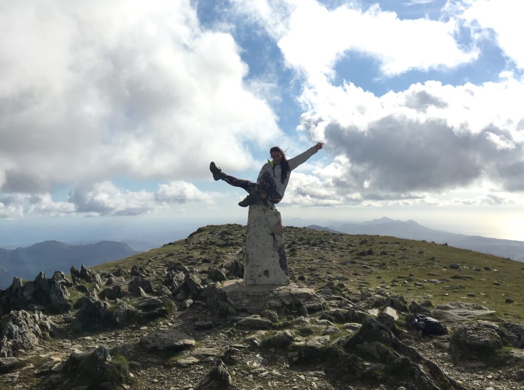
On 18 April 1936 a group of surveyors gathered around a white concrete pillar in a field in Ashby and began the retriangulation of Great Britain.
That trig pillar is still standing 88 years on, along with thousands more around the country. Still much loved by walkers today, Trig Bagging is a growing hobby. Just search for the red triangles on your Ordnance Survey maps.
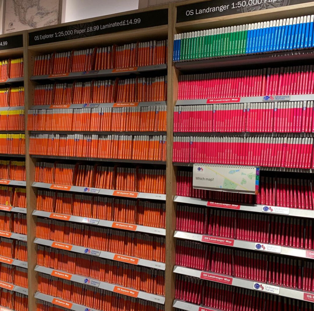
If you fancy going Trig Bagging, here are our bestselling Ordnance Survey Explorer Maps of 2024 (so far):
1. The Peak District – White Peak Area – Buxton – Bakewell – Matlock & Dove Dale OS Explorer OL24
2. London North: The City, West End, Enfield, Ealing, Harrow & Watford OS Explorer Map 173
3. The English Lakes – South-Eastern Area – Windermere, Kendal & Silverdale OS Explorer OL7
4. The English Lakes – South-Western Area – Coniston, Ulverston & Barrow-in-Furness OS Explorer OL6
5. The English Lakes – North-Eastern Area – Penrith, Patterdale & Caldbeck OS Explorer OL5
6. The Peak District – Dark Peak Area OS Explorer OL1
7. London South: Westminster, Greenwich, Croydon, Esher & Twickenham OS Explorer Map 161
8. Brighton & Hove – Lewes & Burgess Hill OS Explorer OL11
9. Yorkshire Dales Southern & Western – Whernside, Ingleborough & Pen-y-ghent OS Explorer OL2
10. Greenwich and Gravesend – East End, Docklands OS Explorer Map 162