
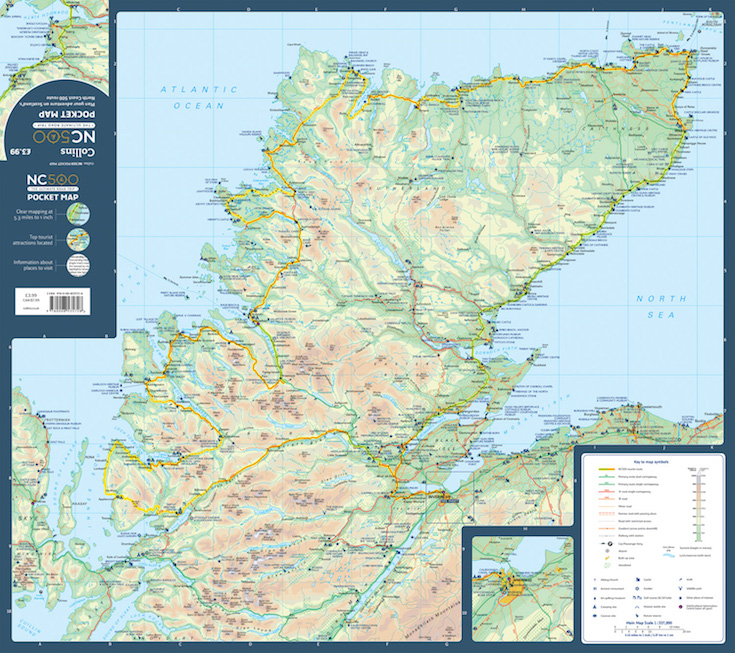
Our Map of the Month for May 2022 is the NC500 Collins Pocket Map. This fold out map of the hugely popular North Coast 500 is a NEW edition from Collins Maps.
The North Coast 500 is a scenic route around the north coast of Scotland that was launched in March 2015 by the Tourism Project Board of the North Highland Initiative. Linking many must see features in the north Highlands of Scotland in one touring route, It is commonly known as Scotland’s Route 66 and regularly features in lists of best drives in the world.
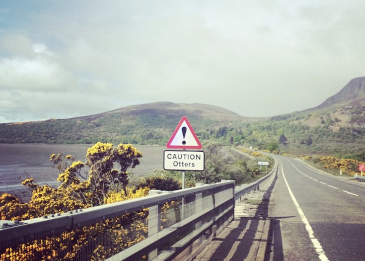
FUN FACT: The North Coast 500 route is actually 516 miles long.
The route starts at Inverness Castle and runs via Muir of Ord, Applecross (with Bealach na Bà), Gairloch, Ullapool, Scourie, Durness, Castle of Mey, Thurso, John o’ Groats, Wick, Dunrobin Castle, Dingwall then back to Muir of Ord and ending where it started at Inverness Castle.
This is a popular route for cyclists, In August 2015, the long-distance cyclist, broadcaster and author Mark Beaumont set the record, completing it in 37 hours and 58 minutes. A few have managed it in a shorter with which the record currently sitting with endurance cyclist Robbie Mitchell who cycled it in 29 hours, 5 minutes and 42 seconds in June 2021.
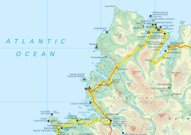
Main features of this map include:
• Clear detailed mapping
• Tourist attractions located and described
• Ideal for touring with castles, museums, gardens, monuments, mountains, golf courses, walks and camping/caravan sites all on the map
• Photographs of the main attractions along the route
• Index to places of interest and place names
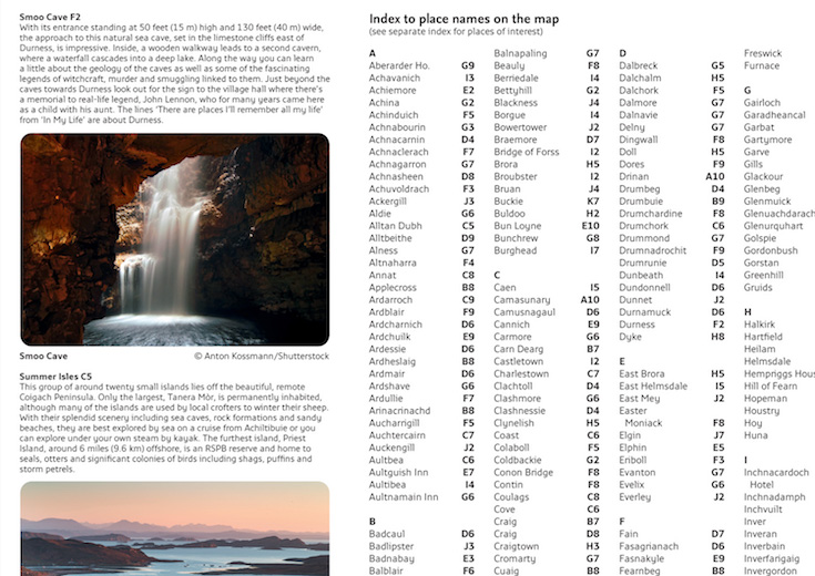
At a scale of 1:316,000
This map is essential for anyone planning a trip on the North Coast 500.

The NC500 Collins Pocket Map is available now for £3.99.