On y va!
Whether you’re celebrating Bastille Day with a hike or cycling your own version of the Tour de France, our Map of the Month for July, the France IGN Greenways and Cycle Routes Map will help you plan your route.

On y va!
Whether you’re celebrating Bastille Day with a hike or cycling your own version of the Tour de France, our Map of the Month for July, the France IGN Greenways and Cycle Routes Map will help you plan your route.
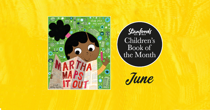
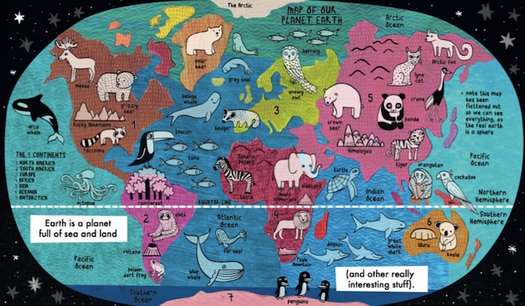
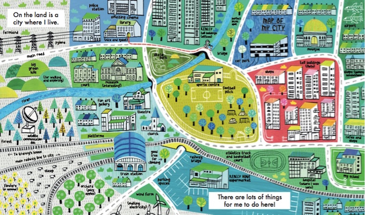
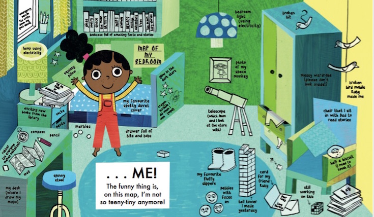
Our Children’s Book of the Month for June 2022 is Martha Maps It Out by Leigh Hodgkinson.
Martha LOVES drawing maps. She creates maps of everything-even her thoughts and dreams! Let Martha be your guide as she welcomes you to her world. Starting in outer space, we zoom in page by page, to our planet, Martha’s community, and beyond to her dreams of a future where ANYTHING is possible. Full of quirky details and fun non-fiction labels that children will love poring over-they will discover cool new facts with every reading. Each map is imbued with an irresistible sense of excitement about the world and optimism for the future.
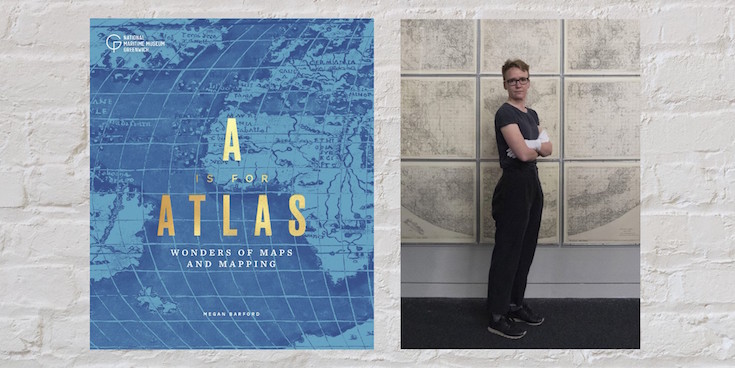
-by Megan Barford, Curator of Cartography at Royal Museums Greenwich and author of A is for Atlas: Wonders of Maps and Mapping.
As a map curator, I often get asked about my favourite map and it’s terribly difficult to choose. In the collection of Royal Museums Greenwich there are near-pristine sixteenth-century maps illuminated with gold and maps reduced to scraps through use at sea. There are maps that show the involvement of women in the book and print trades in eighteenth-century London, alongside maps that came out of trade union activity during the Second World War. Luckily, in my new book, A is for Atlas, I’ve been able to pick 104 favourites, organised according to alphabetical themes in a treasury of stories about map making and use, and about materials and techniques, from the thirteenth century to the present day. Here, D is for display, E is for Engraving, F is for Fake. Together the themes help us to interrogate maps and mapping in different ways, and understand the rich human stories that can be found throughout the collection of Royal Museums Greenwich.
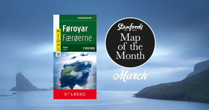
Continue reading A is for Atlas by Megan BarfordOur Map of the Month for March 2022 is the Faroe Islands Solberg-F&B Road Map
18 jagged volcanic islands make up the Faroe Islands. A unique and inimitable destination at the edge of the world. A place truly unspoiled, unexplored and unbelievable.
Our wanderlust levels have recently been heightened by this brand new edition of the Faroe Islands map published by Freytag & Berndt in cooperation with the locally based Henrik Solberg. It includes the newly opened 11km underwater tunnel network that connects the islands of Streymoy and Eysturoy. At it’s deepest the tunnel is 613ft below sea level and it features the world’s first underwater roundabout.
Continue reading Map of the Month: Faroe Islands Solberg-F&B Road MapOur Children’s Book of the Month is the very fitting for Stanfords The Mapmakers by Tamzin Merchant. We return to the spellbinding world of Cordelia Hatmaker in this soaring magical sequel to ‘The Hatmakers’. Here, Tamzin tells us about her favourite children’s books featuring maps.
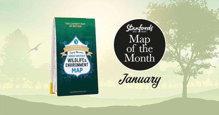
Continue reading Five Favourite Children’s Books with Maps in themStanfords Map of the Month for January 2022 is the ST&G’s Great British Wildlife & Environment Map .
Biodiverse Britain is a natural phenomenon to be reckoned with, the perfect environment for swanning about on wild adventures. From Orkney’s orcas to the seals of Scilly, Britain’s kaleidoscope of natural wonders is ripe for exploring, adoring and – most definitely – restoring. Enter this map, a semi-feral celebration of Britain’s species, habitats and the efforts being made to protect them.
Featuring over 1,500 wildlife hotspots, conservation projects, eco events and gloriously green days out, with handy summaries of key environmental issues and steps you can take to help address them, it’s the grassroots guide to having a whale of a time around wild Britain.
Continue reading Map of the Month: ST&G’s Great British Wildlife & Environment Map-by Ian Wright
I’m honoured that Brilliant Maps An Atlas for Curious Minds has been selected for Stanfords December book of the month. I really enjoyed writing it and hope you’ll enjoy reading it just as much.
Since December is the last month of the year, I thought I’d choose a few maps that help put the last 12 months in some context. And given Christmas is coming I can’t resist including a couple of Christmas themed maps too.
Continue reading Brilliant Mapsby C.J. Schüler
Hard though it may be to imagine today, until the end of the 18th century oak woodlands stretched for seven miles along the range of clay hills that runs through southeast London from Brockley to Selhurst, straddling what was the Kent-Surrey border until the Local Government Act of 1889. Since a substantial part of the wood lay in the northern reaches of the manor of Croydon, it was known for much of its history as the North Wood, or Norwood, a name it bequeathed to the South London suburb that replaced it.
Continue reading Mapping the North WoodStanfords Book of the Month for December 2021 is Brilliant Maps: An Atlas for Curious Minds by Ian Wright, illustrated by Infographic.ly with a foreword by Tim Harford.
See the world anew with this unique and beautifully designed infographic atlas.
Which nations have North Korean embassies? Which region has the highest number of death metal bands per capita? How many countries have bigger economies than California? Who drives on the ‘wrong’ side of the road? And where can you find lions in the wild?
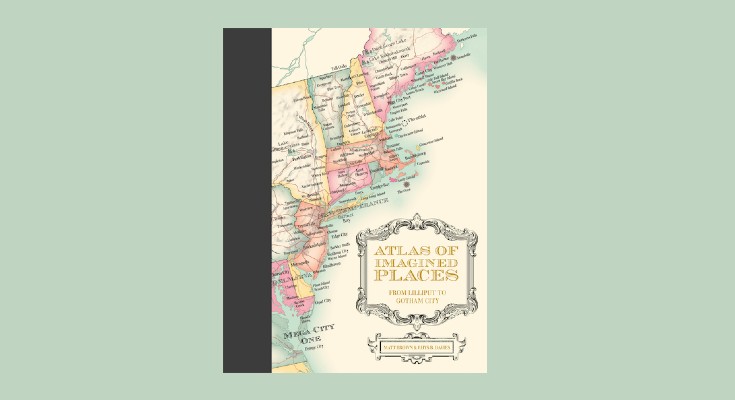
Continue reading Book of the Month: Brilliant MapsAtlas of Imagined Places: From Lilliput to Gotham City is a stunning map collection of invented geography and topography drawn from the world’s imagination.
The maps feature fictional buildings, towns, cities and countries plus mountains and rivers, oceans and seas. Ever wondered where the Bates Motel was based? Or Bedford Falls in It’s a Wonderful Life? The authors have taken years to research the likely geography of thousands of popular culture locations that have become almost real to us.
Here is an extract from the chapter on CENTRAL AMERICA AND THE CARIBBEAN by Matt Brown & Rhys B. Davies with maps by Mike Hall.
Continue reading Atlas of Imagined Places: From Lilliput to Gotham City