
Our Children’s Book of the Month is the very fitting for Stanfords The Mapmakers by Tamzin Merchant. We return to the spellbinding world of Cordelia Hatmaker in this soaring magical sequel to ‘The Hatmakers’. Here, Tamzin tells us about her favourite children’s books featuring maps.
by Tamzin Merchant
I love books with maps in them. If, in the pages before the story begins, I find a hand-drawn pen and ink map, I’m captivated. I know that somebody – a mapmaker, to be precise – has been to the place where the story is set and faithfully recorded the rivers and the trees, the shoreline, the lairs, the high hills and the danger zones. Whether the place is real or imaginary, or a beguiling blend of both, a map in a book charts the place where the reader’s imagination will go roaming. When you’re reading a map, the story has already begun.
These are my five favourite children’s books with maps at their beginnings:
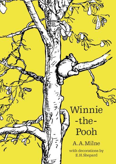
1. Winnie the Pooh – The “100 Aker Wood” is famously based on Ashdown Forest. Indeed, in my favourite case of life imitating art, the actual Ashdown Forest has now taken on some names and places born in A. A. Milnes’ imagination (the most famous being Poohsticks Bridge, a real bridge you can throw sticks off to race in the stream – it is excellent fun). While I have searched the Ashdown Forest, I have yet to come across Piglet’s House or the Bee Tree, though I feel sure they are always somewhere close by: the map tells me they are. In the corner of this map, the four compass points are labelled P-O-O-H, assuring the reader that they are firmly in the realm of the kindly bear and his friends.
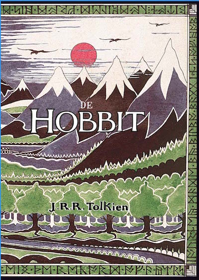
2. The Hobbit – Tolkien’s beautiful presentation of Middle Earth promises adventures beyond the ones seen on the map itself. There are arrows pointing to places beyond the scope of the map and the enticing words “Edge of the Wild” written in red. What adventures could await the person bold enough to venture off the edge? The medieval influence on Tolkien’s work shows in the hand-drawn details, my favourite being the tiny depiction of a twisting sea serpent, that the legend tells us is one of the “Great Worms”. There is so much untold story spilling off the pages, and the sense of a wide and wondrous world beyond even the one Bilbo Baggins will encounter on his journey There and Back Again.
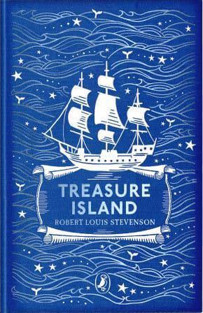
3. Treasure Island – Is there anything more pleasing than a map of an island? Here be a world unto itself… one that may contain pirate’s treasure. I find the bays and inlets especially enticing. What a place to anchor a ship! And I especially appreciate the warning phrase foul ground – a very useful piece of information for anyone hoping to negotiate the treacherous rocks surrounding Skeleton Island. Honourable mention must go to the enthusiastic use of the word “ye” in name places: Cape of ye Woods and Ye Spy Glass Hill. The splaying compass lines linking the island to the rest of the world, the somewhat officious scale of Three English Miles, the sprinkled numbers I think are depth measurements and the sheer practical latitude and longitude of this map makes me believe that I could be the one to find the treasure, I just need a seaworthy galleon.
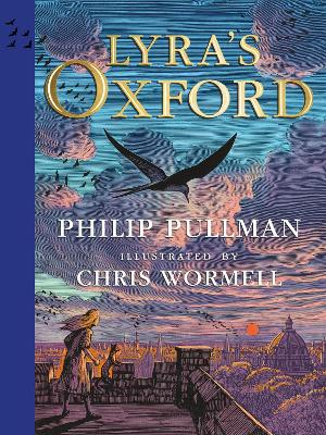
4. Lyra’s Oxford – It’s the beguiling blend of our real Oxford and Lyra’s Oxford that makes this map so absorbing. I’ve walked down St Giles, I’ve passed beneath the pillars of the Ashmolean Museum… did I glimpse the Royal Mail Zeppelin Station on my last trip to the city? I particularly love the drawings scattered throughout this map: the steam train and the zeppelin, the Magdalen Bridge over the blue river, the canal barge. Each of these details, I realize, gives an enticing hint as to how the place on this map can be accessed: it’s possible to get here, this map promises. If only I could hop the right train or catch the right Zeppelin.
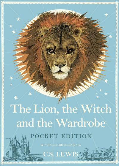
5. Narnia (The Lion, the Witch and the Wardrobe)- I always felt a special thrill in finding Cair Paravel on this map, and tracing the Pevensey children’s journey from Lantern Waste to Beaver’s Dam to the Stone Table and all the way to the castle at the Eastern Sea. And there is, of course, the dark path of Edmund’s deceit and deviation to be traced – all the way to the White Witch’s House. And somewhere along the twisting rivers and the thick forests, the path on which he somehow finds his way back to the good side. Reading The Lion, the Witch and the Wardrobe, I always flip back and fourth between the pages of the story and the map, keeping track of the characters journey and – in the race against time – hoping they’ll cover the ground quickly enough to save the land from the cold grip of Winter. Encircling these places there is the vast stretch of Archenland and Calormen beyond the reaches of Narnia itself, promising perils and stories in forest and desert, always calling me back through the wardrobe for fresh adventures.
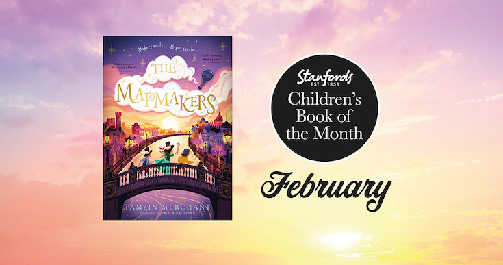
The Mapmakers by Tamzin Merchant is available to buy now for £12.99. All our copies are signed by the author.
Stanfords special offer: Buy The Mapmakers and get Tamzin Merchant’s first book The Hatmakers half price.