Book of the Month: Atlas of the Invisible

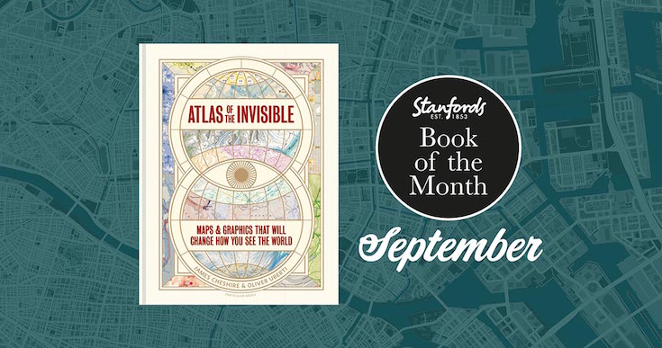
Atlas of the Invisible: Maps & Graphics That Will Change How You See the World by James Cheshire and Oliver Uberti £25.00

In our Book of the Month for September award-winning geographer-designer team James Cheshire and Oliver Uberti redefine what an atlas can be. Transforming enormous data sets into rich maps and cutting-edge visualisations, they uncover truths about our past, reflect who we are today, and highlight what we face in the years ahead. With their joyfully inquisitive approach, Cheshire and Uberti explore happiness and anxiety levels around the globe; they trace the undersea cables and cell towers that connect us; they examine hidden scars of geopolitics; and illustrate how a warming planet affects everything from hurricanes to the hajj.

Continue reading Book of the Month: Atlas of the Invisible

An extract from ‘The Power of Geography’ by Tim Marshall

Tim Marshall’s global bestseller Prisoners of Geography showed how every nation’s choices are limited by mountains, rivers, seas and concrete. Since then, the geography hasn’t changed. But the world has.

In this revelatory new book The Power of Geography, Marshall explores ten regions that are set to shape global politics in a new age of great-power rivalry: Australia, Iran, Saudi Arabia, the UK, Greece, Turkey, the Sahel, Ethiopia, Spain and Space.

Delivered with Marshall’s trademark wit and insight, this is a lucid and gripping exploration of the power of geography to shape humanity’s past, present – and future.

We are honoured to have an extract from the Australia chapter to share with you:

Continue reading An extract from ‘The Power of Geography’ by Tim Marshall

Stanfords Selects: Quiz Books

Whether you’re planning a Zoom quiz night for friends, looking to while away a cold winter’s day with travel trivia or want to brush up on your geographical knowledge we have lots of great quiz books that will challenge your mind and guarantee you’ll be in great demand to be the geography buff on pub quiz teams (when pubs finally open up again).

Continue reading Stanfords Selects: Quiz Books

History of World Trade in Maps, Trade and Diplomacy

A brand new book gracing the shelves at Stanfords is Philip Parker’s History of World Trade in Maps. In this beautiful book, more than 70 maps give a visual representation of the history of World Commerce, accompanied by text which tells the extraordinary story of the merchants, adventurers, middle-men and monarchs who bought, sold, explored and fought in search of profit and power. The maps are all works of art, witnesses to history, and have a fascinating story to tell.

To celebrate the launch of his new book, we asked Philip to write this blog post to give us all a taster of what we can expect:

Trade and Diplomacy by Philip Parker

In an age when trade negotiations – or the lack of them – seem to degenerate into political point-scoring or abstruse technical arguments over the cocoa content of chocolate – it is easy to forget that without trade, our way of life would collapse. Every country, even North Korea, has to trade the goods it can produce in exchange for those it needs but cannot produce. A trading advantage can be gained by a reputation for quality, specialization, sharp-tongued merchants or skill in spotting shortages. Above all, however, diplomacy acts as a multiplier of trading success.

Continue reading History of World Trade in Maps, Trade and Diplomacy

Great Trees of London Map

New Map Celebrates London’s Remarkable Trees

Great Trees of London Map  is a new map by Blue Crow Media. This two-sided guide map reveals highlights from London’s uniquely diverse urban forest. Featuring rare species, magnificent English oaks, an ancient, perhaps 2,000-year-old, yew and the finest flowering cherries, this selection of 50 trees spans from Kew Gardens to Greenwich Park, and Tottenham to Brixton. The map includes photography, an introduction and descriptions by Paul Wood, the author of London is a Forest and London’s Street Trees: A Field Guide to the Urban Forest.

Continue reading Great Trees of London Map

Philip Parker: History of Maps in Britain: Stanfords Travel Writers Festival 2020

From Mappa Mundi to modern election maps, the United Kingdom has evolved rapidly, along with the ways in which it has been mapped. During this time, cartography has not only kept pace with these changes, but has often driven them. In his beautiful book, Philip Parker talks to Julia Wheeler about some of these maps that give a visual representation of the history of Britain.

History of Britain in Mapsby Philip Parker

History of Britain in Maps: Over 90 Maps of our Nation through Time

Five examples of how the map of London isn’t always as it first appears

Artist and cartographer Adam Dant surveys London’s past, present and future with his beautiful, witty and subversive cartographic pieces. His astonishing maps offer a compelling view of history, lore, language and life in the capital and beyond.

To celebrate the launch of ‘Maps of London & Beyond’ we asked Adam Dant to give us Five examples of how the map of London isn’t always as it first appears. Continue reading Five examples of how the map of London isn’t always as it first appears

A cartographic taster from the National Army Museum

We asked Robert Fleming, the Templer Study Centre Manager at the National Army Museum to give us a few tasters of some of the fascinating collections related to survey and cartography held at the museum. Continue reading A cartographic taster from the National Army Museum

5 Reasons why Soviet Maps are Amazing by John Davies and Alexander J. Kent

To coincide with the release of their new book The Red Atlas John Davies and Alex Kent explain why the many thousands of maps secretly produced by the Soviet Union are so fascinating… Continue reading 5 Reasons why Soviet Maps are Amazing by John Davies and Alexander J. Kent