A is for Atlas by Megan Barford

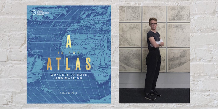
-by Megan Barford, Curator of Cartography at Royal Museums Greenwich and author of A is for Atlas: Wonders of Maps and Mapping.

As a map curator, I often get asked about my favourite map and it’s terribly difficult to choose. In the collection of Royal Museums Greenwich there are near-pristine sixteenth-century maps illuminated with gold and maps reduced to scraps through use at sea. There are maps that show the involvement of women in the book and print trades in eighteenth-century London, alongside maps that came out of trade union activity during the Second World War. Luckily, in my new book, A is for Atlas, I’ve been able to pick 104 favourites, organised according to alphabetical themes in a treasury of stories about map making and use, and about materials and techniques, from the thirteenth century to the present day. Here, D is for display, E is for Engraving, F is for Fake. Together the themes help us to interrogate maps and mapping in different ways, and understand the rich human stories that can be found throughout the collection of Royal Museums Greenwich.

Continue reading A is for Atlas by Megan Barford
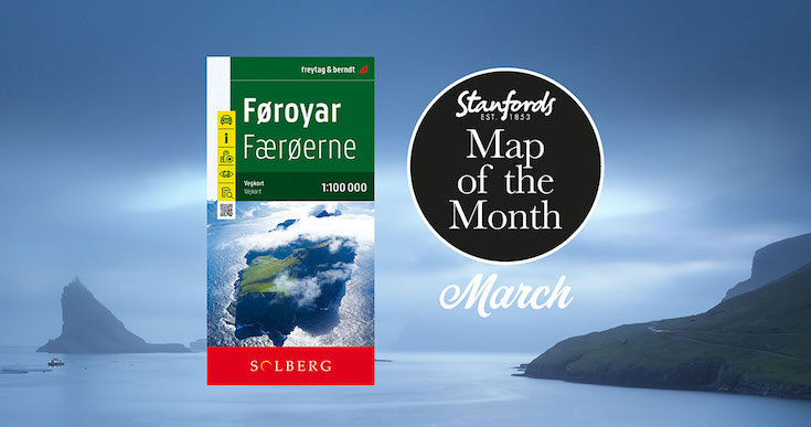
Map of the Month: Faroe Islands Solberg-F&B Road Map

Our Map of the Month for March 2022 is the Faroe Islands Solberg-F&B Road Map

18 jagged volcanic islands make up the Faroe Islands. A unique and inimitable destination at the edge of the world. A place truly unspoiled, unexplored and unbelievable.

Our wanderlust levels have recently been heightened by this brand new edition of the Faroe Islands map published by Freytag & Berndt in cooperation with the locally based Henrik Solberg. It includes the newly opened 11km underwater tunnel network that connects the islands of Streymoy and Eysturoy. At it’s deepest the tunnel is 613ft below sea level and it features the world’s first underwater roundabout.

Continue reading Map of the Month: Faroe Islands Solberg-F&B Road Map

Five Favourite Children’s Books with Maps in them

Our Children’s Book of the Month is the very fitting for Stanfords The Mapmakers by Tamzin Merchant. We return to the spellbinding world of Cordelia Hatmaker in this soaring magical sequel to ‘The Hatmakers’. Here, Tamzin tells us about her favourite children’s books featuring maps.

Continue reading Five Favourite Children’s Books with Maps in them

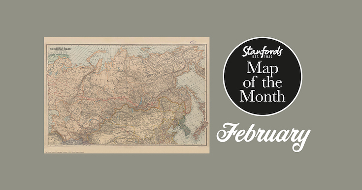
Map of the Month: 1904 Stanford’s Map of the Siberian Railway

Our Map of the Month for February 2022 is the 1904 Stanford’s Map of the Siberian Railway.

The Stanford’s Map of the Siberian Railway is from a fascinating series of reproductions from our Edward Stanford Cartographic Collection archive.

Depicting the great land route to China and Korea, this map was published by Edward Stanford, Long Acre on the 1st February 1904.

This vital rail route was also known as the Moscow Highway or the Tea Route because of the large quantities of tea exported from China. It connected European Russia to Siberia and China. Construction started in 1730 and was not completed until the mid 19th-century.

Continue reading Map of the Month: 1904 Stanford’s Map of the Siberian Railway

Brilliant Maps

Maps that help put the last 12 months in some context

-by Ian Wright

I’m honoured that Brilliant Maps An Atlas for Curious Minds has been selected for Stanfords December book of the month. I really enjoyed writing it and hope you’ll enjoy reading it just as much. 

Since December is the last month of the year, I thought I’d choose a few maps that help put the last 12 months in some context. And given Christmas is coming I can’t resist including a couple of Christmas themed maps too.

Continue reading Brilliant Maps

Mapping the North Wood

by C.J. Schüler

Hard though it may be to imagine today, until the end of the 18th century oak woodlands stretched for seven miles along the range of clay hills that runs through southeast London from Brockley to Selhurst, straddling what was the Kent-Surrey border until the Local Government Act of 1889. Since a substantial part of the wood lay in the northern reaches of the manor of Croydon, it was known for much of its history as the North Wood, or Norwood, a name it bequeathed to the South London suburb that replaced it.

Continue reading Mapping the North Wood

Map of the Month: Antarctica and the Arctic BAS

We thought we’d end the year with something new, so from now on we will be having a Map of the Month. Stanfords Map of the Month for December 2021 is the British Antarctic Survey’s Antarctica and the Arctic double-sided folded map.

Here’s Laura Gerrish, GIS and Mapping Specialist at British Antarctic Survey to tell us a bit more about this map:

Continue reading Map of the Month: Antarctica and the Arctic BAS

AmazingWorld Children’s Maps

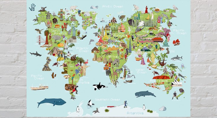
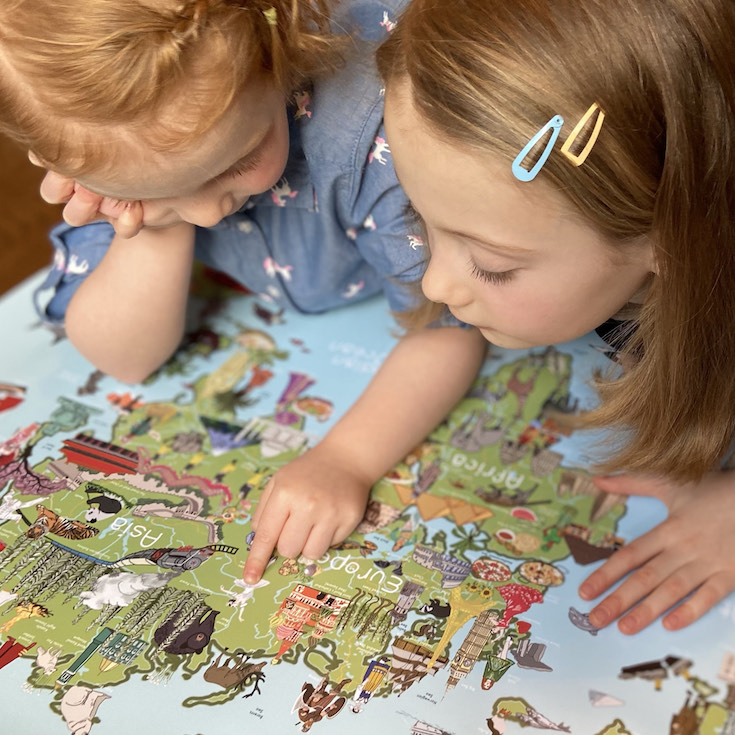
The latest addition to our map department are these seven new AmazingWorld children’s A2 wall maps.

These lovingly crafted maps introduce little ones to the many wonders awaiting them around the world. Spark up conversations and fuel their curiosity to guide them as they discover more about the animals, foods, people, places, cultures, and plants across the globe.


Build their knowledge and develop an understanding of the similarities and differences that connect them to people & places around the world.

Continue reading AmazingWorld Children’s Maps

The Atlas of Unusual Languages

Following on from the hugely successful, 2020 Edward Stanfords Travel Writing Awards shortlisted The Atlas of Unusual Borders, Zoran Nikolic is back with a new atlas all about discovering intriguing linguistic oddities and language islands.

We communicate through the spoken and written word and language has evolved over the centuries. Many languages have survived although only in small pockets throughout the world. The Atlas of Unusual Languages explores a selection of those languages and some that have now been lost forever.

Here, Zoran Nikolic tells Stanfords about his latest book:

Continue reading The Atlas of Unusual Languages