Map of the Month: Normandy D-Day – 6 June 1944 IGN Map

Our Map of the Month for June is the Normandy D-Day – 6 June 1944 IGN Map.

This is a commemorative map from the IGN for the 80th anniversary of the D-Day landings in Normandy on 6th June 1944. It has three large panels showing the various groupings of the Allied Armies and the defending German forces, the changes in the front lines between 6th June and 18th August, and present day commemorative sites and monuments.
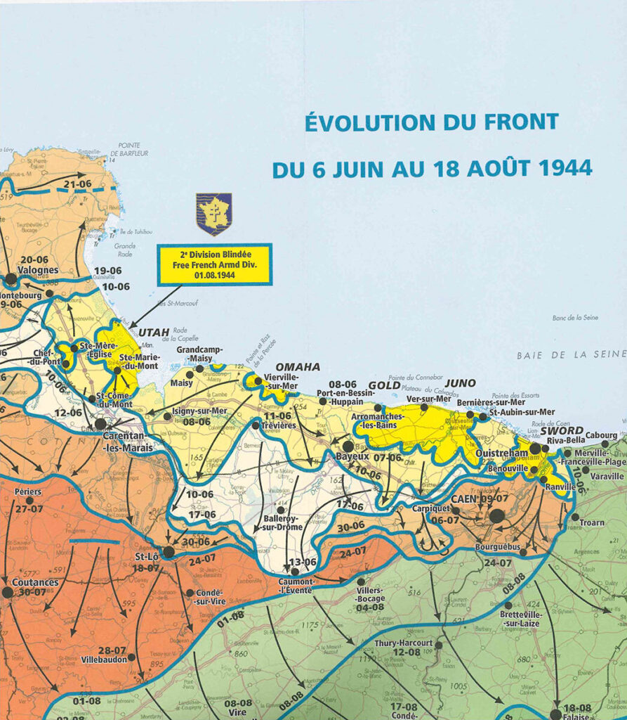
The main panel at 1:100,000 shows the five beaches: Utah, Omaha, Gold, Juno and Sword together with the command structure and the position of the Allied Forces, from General Eisenhower to individual units including the supporting airborne divisions, and the defending German forces, it also indicates beachheads and the front line 24 hours later.

Continue reading Map of the Month: Normandy D-Day – 6 June 1944 IGN Map
Map of the Month: London Greenground Map

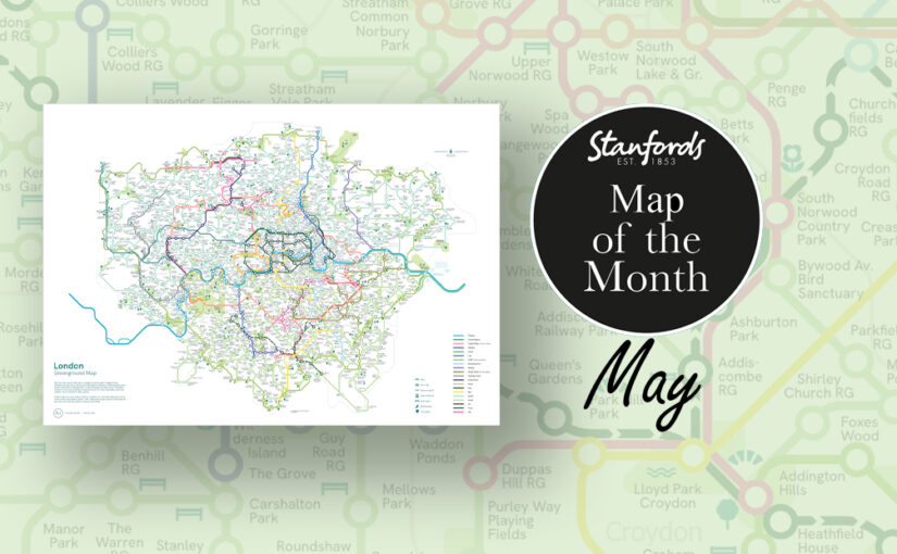
Our Map of the Month for May is the London Greenground Map by graphic designer and map maker Helen Ilus.

Exclusive to Stanfords this Spring/ Summer.

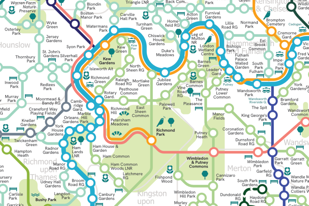
The London Greenground Map is the largest greenground map to date – connecting 1,200 green spaces with 20 inspirational lines for exploring the London-wide network of parks, rivers, nature reserves, woods and wetlands. Covering all London boroughs so that every neighbourhood can find nature on their doorstep.

Continue reading Map of the Month: London Greenground Map

Map of the Month: The Lakes 100

Our Map of the Month for April is The Lakes 100 Map . The Lakes 100 is a circular journey uniquely tailored for you to get the most out of the Lake District and beyond. There are over 150 miles to explore with boundless gems to discover along the way that will quench any thirsty adventurous soul.

Being a family run business ourselves, we love hearing about other family run enterprises. The team behind the Lakes 100 are Cumbrian brothers Peter and Aaron who came up with the idea for this road trip. They initially did the road trip together with a group of friends so they could share the experience and get some feedback. Now you can follow the trip yourself with their map.

Continue reading Map of the Month: The Lakes 100

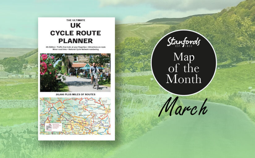
Map of the Month: The Ultimate UK Cycle Route Planner

‘It is by riding a bicycle that you learn the contours of a country best, since you have to sweat up the hills and coast down them.’- Hemmingway

Our Map of the Month for March is The Ultimate UK Cycle Route Planner.

This best selling UK cycle publication gives an overview of all the main signed UK cycle routes – the only publication that has all these together on one single map.

This map features:

Continue reading Map of the Month: The Ultimate UK Cycle Route Planner

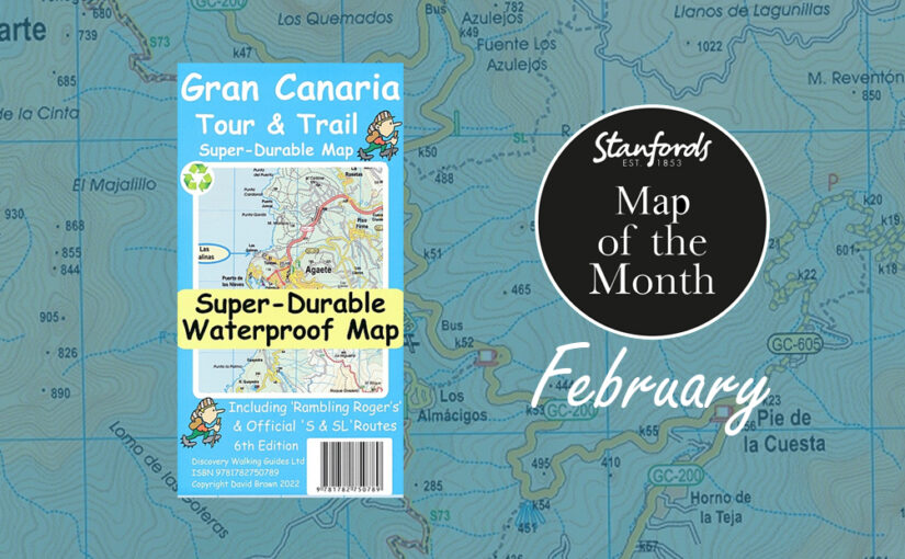
Map of the Month: Gran Canaria Tour & Trail Super-Durable Map

Our February Map of the Month is the Gran Canaria Tour and Trail Super-Durable Map.

One of the most popular destinations with our customers during the end of winter is the Spanish island of Gran Canaria. It is the third-largest and second-most-populous island of the Canary Islands, an archipelago off the Atlantic coast of Northwest Africa. This island is called a “miniature continent” due to the different climates and variety of landscapes found. It has so much to offer with long beaches and dunes of white sand, contrasting with green ravines and picturesque villages. 

Continue reading Map of the Month: Gran Canaria Tour & Trail Super-Durable Map

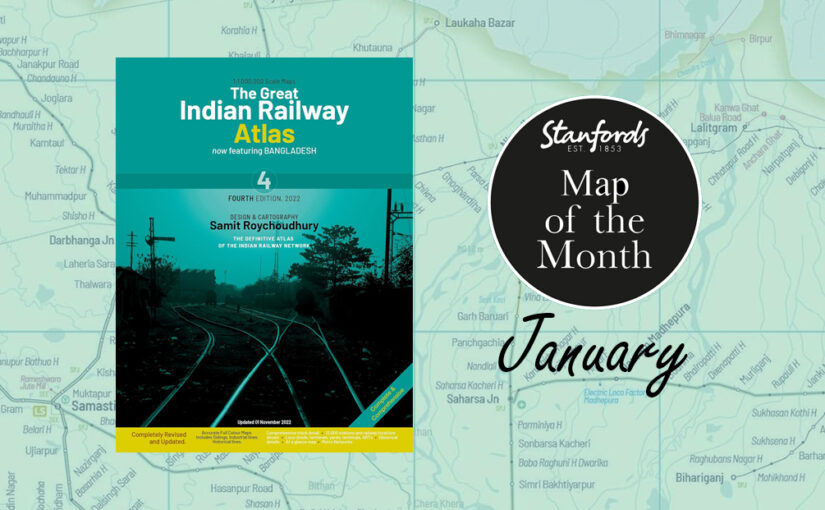
Map of the Month: The Great Indian Railway Atlas

Our Map of the Month for January 2024 is the brand new edition of The Great Indian Railway Atlas with design and cartography by Samit Roychoudhury, published by Darjeeling Himalayan Railway Society.

As more and more travellers are reverting back to rail travel in an attempt to leave less of a carbon footprint, this form of transport is becoming a favoured form. Add to that the fact that India’s railway network is very impressive and there is something so romantic about travelling across a country by train, and it’s no surprise that train traveller numbers are booming. 

Stanfords Travel Trivia:

Continue reading Map of the Month: The Great Indian Railway Atlas

Map of the Month: Scottish Whisky Distilleries Map

Calling all whisky enthusiasts. Plan a distillery tour around Scotland.

Our Map of the Month for January is the Scottish Whisky Distilleries Map by Nicholson Digital.

Many distilleries now offer world class visitor experiences and have been able to bring much needed jobs around Scotland. Over 11,000 people are directly employed in the Scotch whisky industry in Scotland and over 60% of these jobs are in rural communities across the Highlands and Islands.

Continue reading Map of the Month: Scottish Whisky Distilleries Map

Map of the Month: Peters World Map

Our Map of the Month for December 2022 is the Peters World Map Political Wall Map.

The Peters World Map shows countries in proportion to their relative sizes. It is based upon Arno Peters’ 1970s decimal grid which divides the surface of the earth into 100 longitudinal fields of equal width and 100 latitudinal fields of equal height; it treats the rectangles around the equator as squares and builds the other rectangles onto these in proportion to the areas they represent. the zero meridian on this system is combined with a proposed new international date line.

Continue reading Map of the Month: Peters World Map

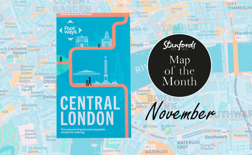
Map of the Month: Central London Footways Map

Our Map of the Month for November 2022 is the Central London Footways: the network of quiet and enjoyable streets for walking.


This beautiful printed map is designed to help people plan enjoyable A-to-B walks in central London. The Footways team spent more than three years plotting and testing the walking routes, connecting London’s stations and key destinations with the capital’s most interesting, quiet and enjoyable streets.

Continue reading Map of the Month: Central London Footways Map

Map of the Month: Great Britain Slow Ways Journey Planners

Our Map of the Month for October 2022 is the Slow Ways Journey Planners by Urban Good. These maps are based on the grassroots initiative to create walking routes across Great Britain.

The printed maps are big, bold, beautiful and designed to inspire and support people imagine, plan and share journeys. 

Slow Ways is an initiative to create a network of walking routes that connect all of Great Britain’s towns and cities as well as thousands of villages and every national park. People can use the routes to walk between neighbouring places or combine routes to travel over longer distances.

Continue reading Map of the Month: Great Britain Slow Ways Journey Planners