Map of the Month: A Travellers’ Railway Map of Europe

All Aboard! Take to the tracks and see Europe via the most scenic routes rail travel has to offer.

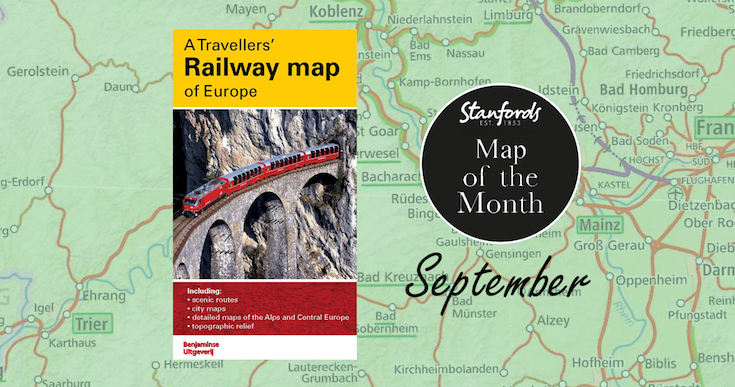
Our Map of the Month for September 2022 is A Travellers’ Railway Map of Europe. Presenting the Continent in a series of six maps with their enlargements, including ten city maps indicating locations of their main railway stations and a map of the high-speed network.

Continue reading Map of the Month: A Travellers’ Railway Map of Europe
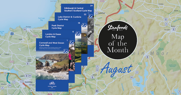
Map of the Month: Wheelie great BRAND NEW cycling maps

Our Map of the Month for August is not just one map, we are excited to introduce the first five maps in a brand new series that will soon cover the whole of the UK. 

Cycle Maps UK are produced at a scale of 1:100 000 showing important features including the National cycle Network. Sections on road, off road and traffic free are all shown in differing colours along with their route number. Other roads and their classification are shown enabling you to link rides or explore sections and discover new routes at home or further afield.

Continue reading Map of the Month: Wheelie great BRAND NEW cycling maps

Map of the Month: France IGN Greenways and Cycle Routes Map

On y va!

Whether you’re celebrating Bastille Day with a hike or cycling your own version of the Tour de France, our Map of the Month for July, the France IGN Greenways and Cycle Routes Map will help you plan your route.

Image by Jude Brosnan

Continue reading Map of the Month: France IGN Greenways and Cycle Routes Map

Map of the Month: CartDeco Earth Map

Our Map of the Month for June 2022 is the Earth Wall Map by CartDeco.

This map has been five years in the making, going through many iterations and checks to make this one of the finest map of our planet on the market. The details have been meticulously checked with an emphasis on including indigenous place names where appropriate, in particular in Canada, Australia and New Zealand.

Continue reading Map of the Month: CartDeco Earth Map

Map of the Month: NC500 Collins Pocket Map

Our Map of the Month for May 2022 is the NC500 Collins Pocket Map. This fold out map of the hugely popular North Coast 500 is a NEW edition from Collins Maps.

The North Coast 500 is a scenic route around the north coast of Scotland that was launched in March 2015 by the Tourism Project Board of the North Highland Initiative. Linking many must see features in the north Highlands of Scotland in one touring route, It is commonly known as Scotland’s Route 66 and regularly features in lists of best drives in the world.

Continue reading Map of the Month: NC500 Collins Pocket Map

Map of the Month: London National Park City – Greater London Map

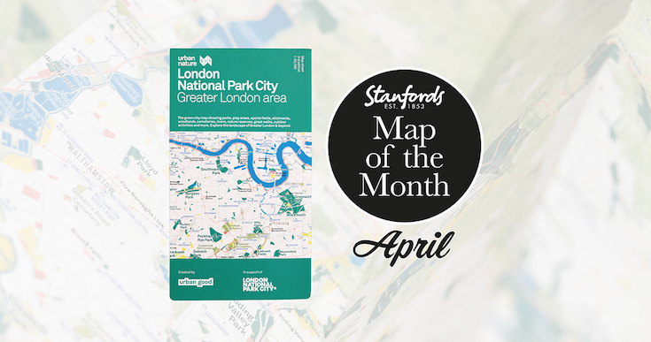
Our Map of the Month for April 2022 is the London National Park City- Greater London Area Urban Nature Map by Urban Good.

See London differently and explore its open spaces. This map is a resource to encourage more awareness and more action for people and nature, to help put nearby nature in everyday lives. 

It shows London: the world’s first National Park City. The massive map includes all of the parks, woodlands, playing fields, national nature reserves, city farms, rivers, lakes, and all the spaces that contribute to London’s parkland. Some of the most iconic walks through and around London are drawn, such as the London Loop and Capital Ring, along with symbols marking places to swim outdoors, climb peaks, pitch a tent, or go sailing.

Continue reading Map of the Month: London National Park City – Greater London Map

Map of the Month: Faroe Islands Solberg-F&B Road Map

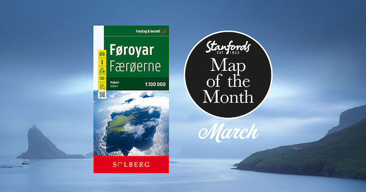
Our Map of the Month for March 2022 is the Faroe Islands Solberg-F&B Road Map

18 jagged volcanic islands make up the Faroe Islands. A unique and inimitable destination at the edge of the world. A place truly unspoiled, unexplored and unbelievable.

Our wanderlust levels have recently been heightened by this brand new edition of the Faroe Islands map published by Freytag & Berndt in cooperation with the locally based Henrik Solberg. It includes the newly opened 11km underwater tunnel network that connects the islands of Streymoy and Eysturoy. At it’s deepest the tunnel is 613ft below sea level and it features the world’s first underwater roundabout.

Continue reading Map of the Month: Faroe Islands Solberg-F&B Road Map

Map of the Month: ST&G’s Great British Wildlife & Environment Map

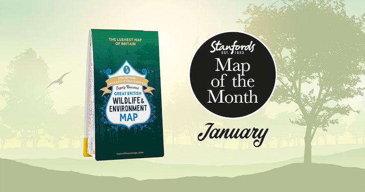
Stanfords Map of the Month for January 2022 is the ST&G’s Great British Wildlife & Environment Map .

Biodiverse Britain is a natural phenomenon to be reckoned with, the perfect environment for swanning about on wild adventures. From Orkney’s orcas to the seals of Scilly, Britain’s kaleidoscope of natural wonders is ripe for exploring, adoring and – most definitely – restoring. Enter this map, a semi-feral celebration of Britain’s species, habitats and the efforts being made to protect them. 

Featuring over 1,500 wildlife hotspots, conservation projects, eco events and gloriously green days out, with handy summaries of key environmental issues and steps you can take to help address them, it’s the grassroots guide to having a whale of a time around wild Britain.

Continue reading Map of the Month: ST&G’s Great British Wildlife & Environment Map

Map of the Month: Antarctica and the Arctic BAS

We thought we’d end the year with something new, so from now on we will be having a Map of the Month. Stanfords Map of the Month for December 2021 is the British Antarctic Survey’s Antarctica and the Arctic double-sided folded map.

Here’s Laura Gerrish, GIS and Mapping Specialist at British Antarctic Survey to tell us a bit more about this map:

Continue reading Map of the Month: Antarctica and the Arctic BAS