
Our Map of the Month for June is the Normandy D-Day – 6 June 1944 IGN Map.
This is a commemorative map from the IGN for the 80th anniversary of the D-Day landings in Normandy on 6th June 1944. It has three large panels showing the various groupings of the Allied Armies and the defending German forces, the changes in the front lines between 6th June and 18th August, and present day commemorative sites and monuments.
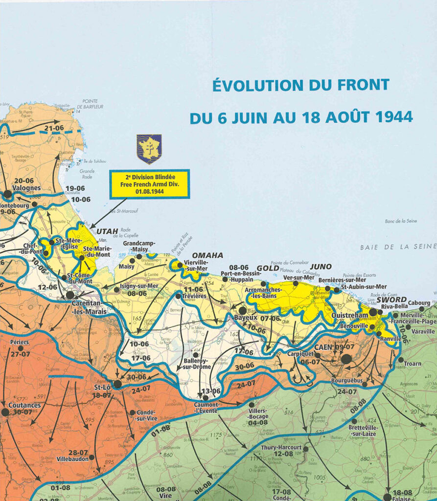
The main panel at 1:100,000 shows the five beaches: Utah, Omaha, Gold, Juno and Sword together with the command structure and the position of the Allied Forces, from General Eisenhower to individual units including the supporting airborne divisions, and the defending German forces, it also indicates beachheads and the front line 24 hours later.
Continue reading Map of the Month: Normandy D-Day – 6 June 1944 IGN Map