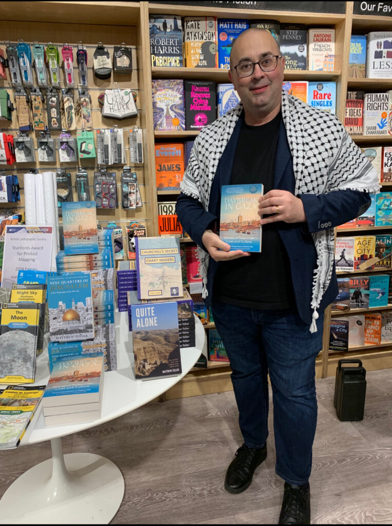
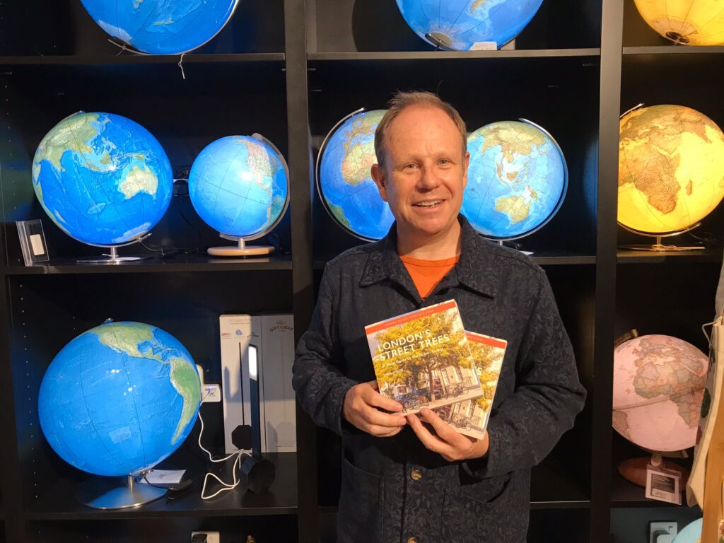
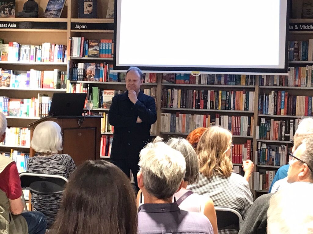
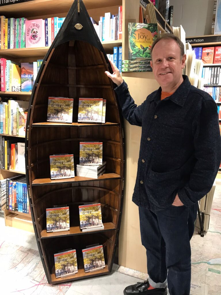
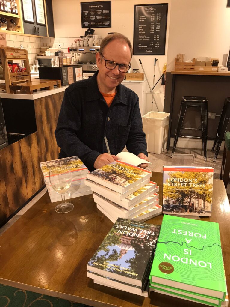
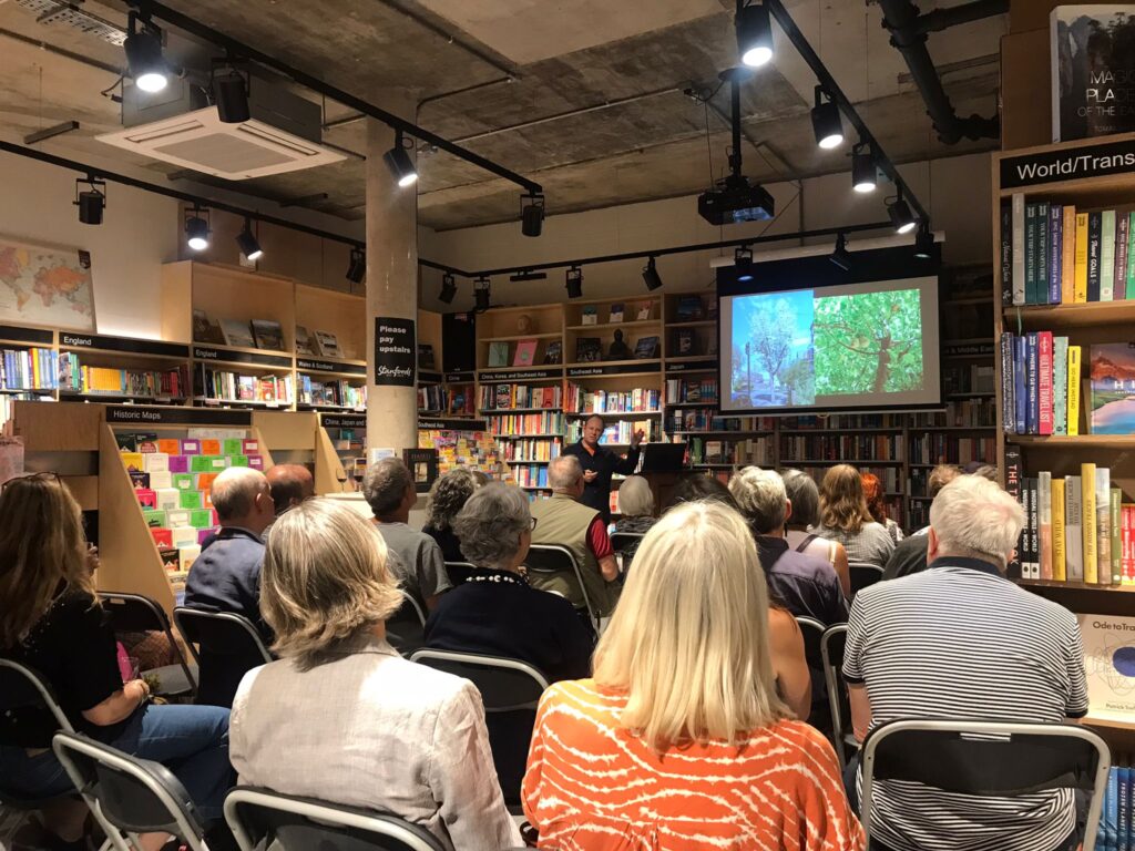
Thank you to everyone who attended the British Cartographic Society Conference #carto24 networking event at Stanfords on Wednesday night. A special thank you to Matthew Teller who came to talk about his books and the maps included in them.
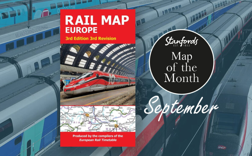
Our Map of the Month is the European Rail Map. The definitive rail map for today’s independent traveller, this map is a regular feature on our bestsellers list. This is the third revision of the 3rd edition map which includes the latest high-speed routes and updates.
From the same people who print the European Rail Timetable, this map seeks to show all passenger rail routes in Europe (other than those of the suburban networks of major cities).
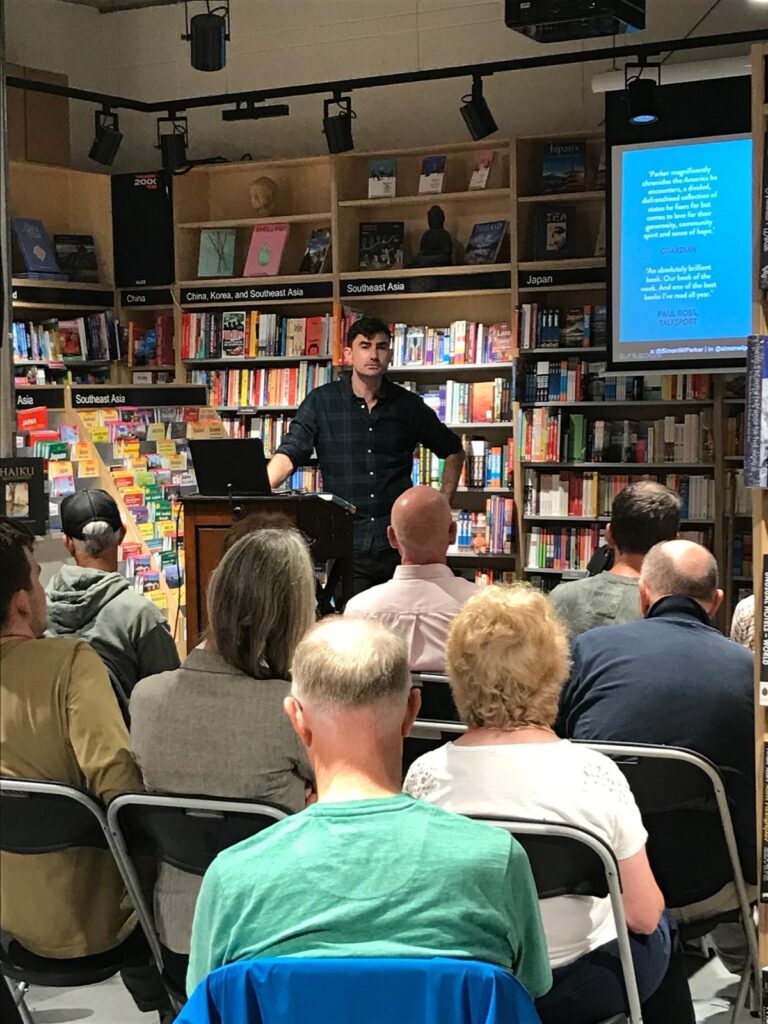
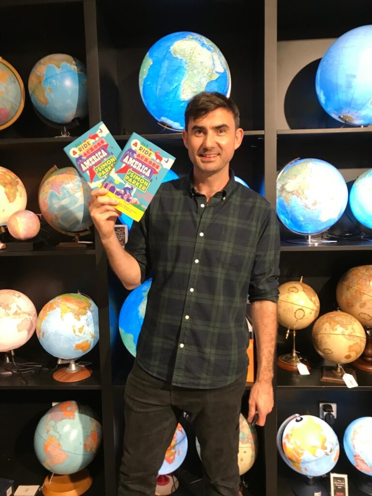
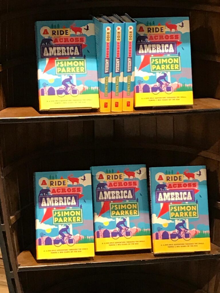
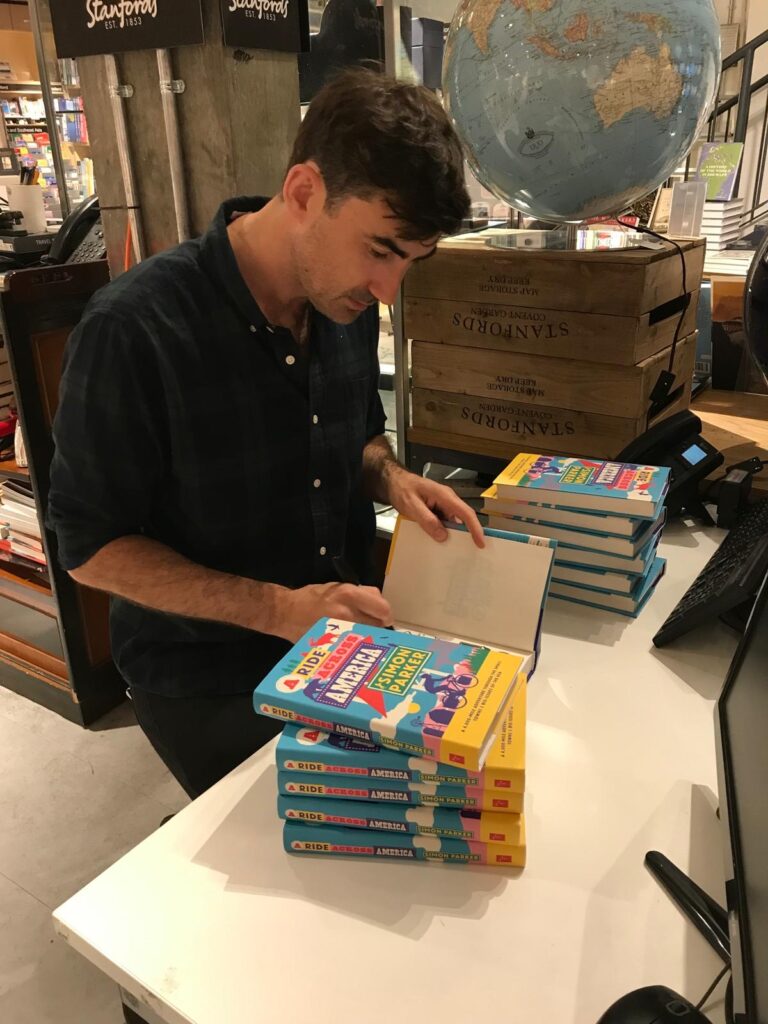
Last night we had a wonderful evening hearing Simon Parker talk about his 4,000-mile adventure. A Ride Across America is an account of his journey through the small towns and big issues of the USA.
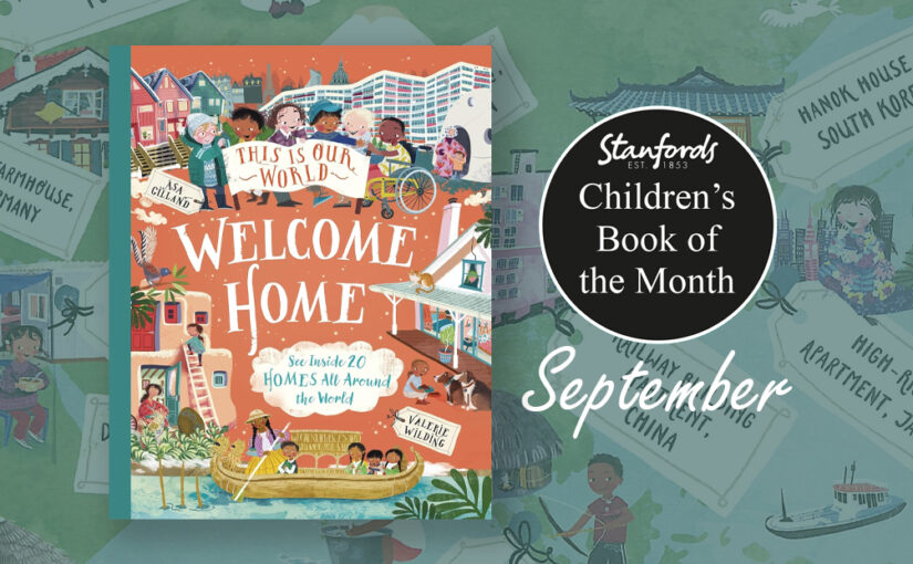
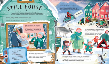
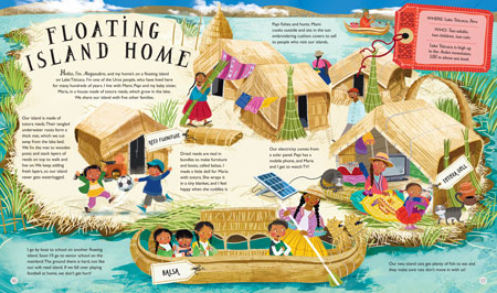
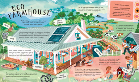
Our Children’s Book of the Month is This Is Our World- Welcome Home![9781035019120] by Valerie Wilding, illustrated by Asa Gilland.
This Is Our World – Welcome Home! is a vibrant and colourful celebration of our planet’s diversity – an unforgettable journey that invites young readers into 20 different homes around the world. Our guides are children who tell us about their unique homes and surrounding environments.
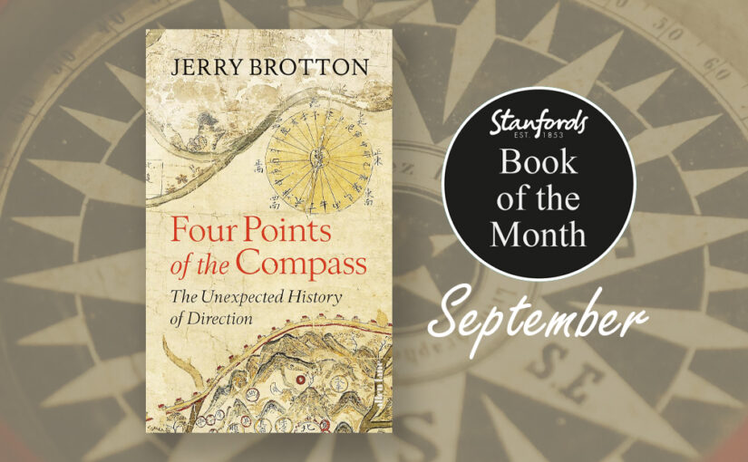
North, south, east and west: almost all societies use the four cardinal directions to orientate themselves, to understand who they are by projecting where they are. For millennia, these four directions have been the foundation of our navigation and exploration and are central to the imaginative, moral and political geography of virtually every culture in the world. Yet they are far more subjective, various and contradictory than we might realise.
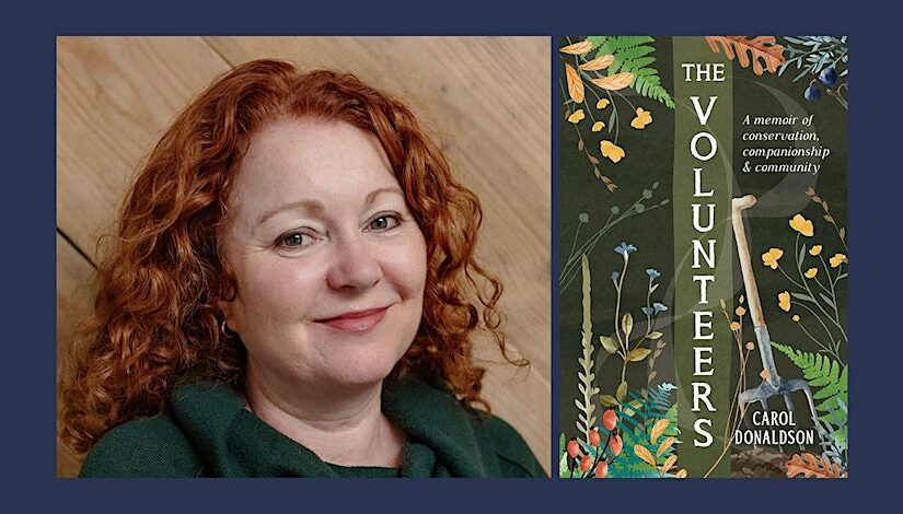
In celebration of the publication of my book The Volunteers: A memoir of Conservation, Companionship and Community (Summersdale 2024) I would like to invite you to experience the joys of volunteering for yourself by exploring my list of the five best organisations to volunteer for in the UK.
TCV offered me my first every professional conservation job and have long been the standard bearers for volunteering. They were also ahead of their time at being an inclusive organisation. TCV run hundreds of volunteer projects across the UK including the Green Gym where you can get fit and make friends while doing anything from edible gardening to dry stone walling
Not just for birders. When I was 21 I spent two life changing weeks guarding an osprey nests from egg collectors on the RSPB’s Loch Garten reserve. I came away knowing I wanted a career in conservation. The RSPB are one of the few organisations to still offer short term residential volunteer opportunities. You could find yourself at the tip of Kent wardening the RSPB Dungeness reserve or monitoring bittern in the reedbeds at Blacktoft Sands.
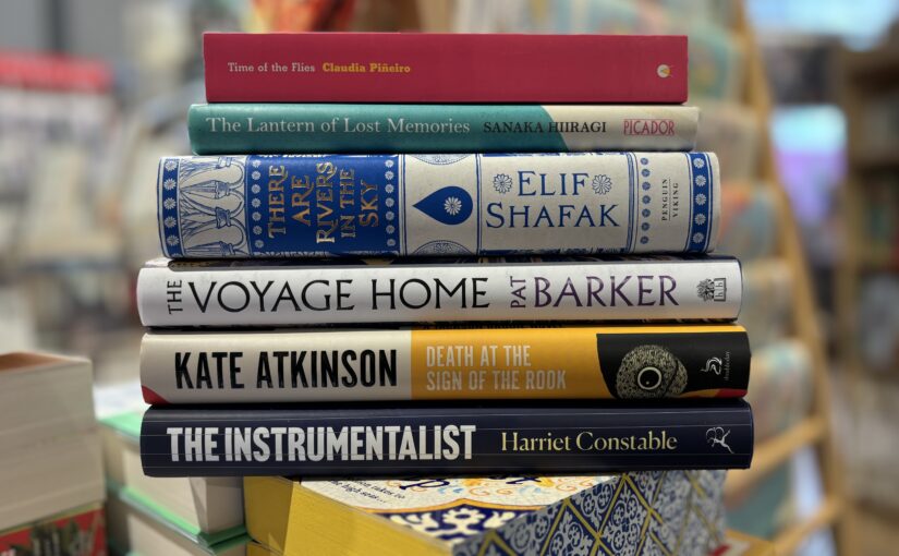
Fifteen years after killing her husband’s lover, Ines is fresh out of prison and trying to put together a new life. Her old friend Manca is out now too, and they’ve started a business – FFF, or Females, Fumigation, and Flies – dedicated to pest control and private investigation, by women, for women. But Senora Bonar, one of their clients, wants Ines to do more than kill bugs – she wants her expertise, and her criminal past, to help her kill her husband’s lover, too.
This is Pineiro at her wry, earthy best, alive to all the ways we shape ourselves to be understandable, to be understood, by family and love and other hostile forces.
With the Olympics and Paralympics being set in Paris, we’ve been getting lots of enquires about the different kinds of maps we stock. Here are 10 maps on our shelves that we’ve been talking recently:
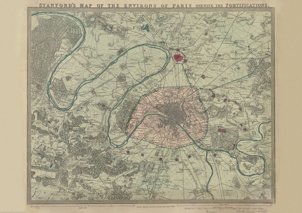
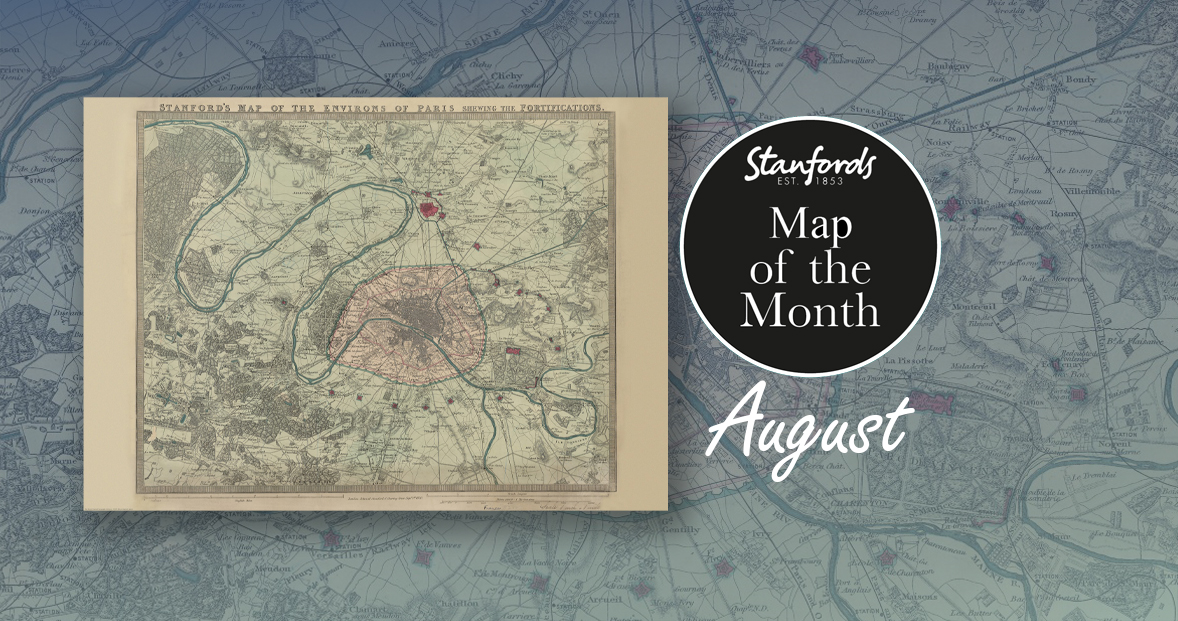
First up, it’s our August Map of the Month from our Edward Stanford Cartographic Collection archive.
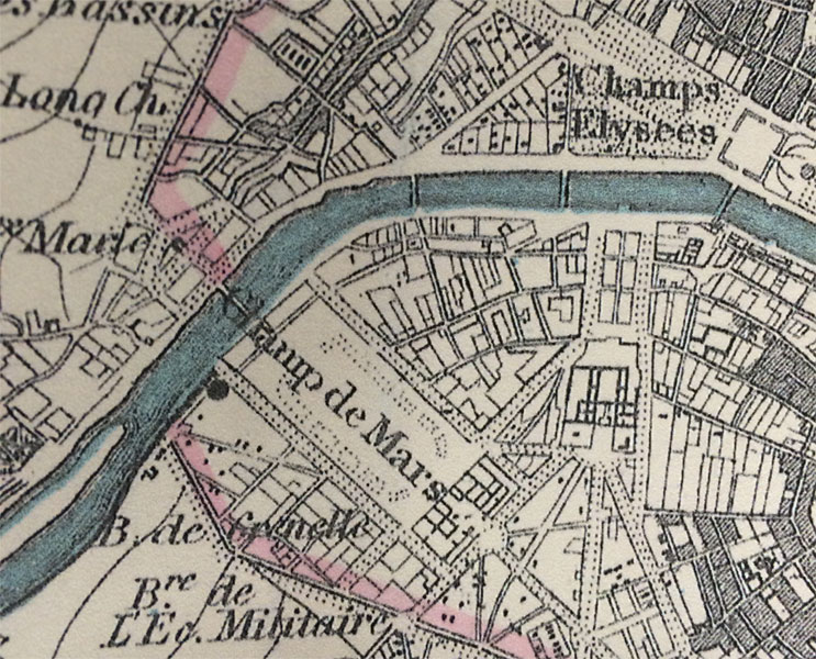
It is dated September 1st 1870 which is just a couple months after the Franco-Prussian War began. The Eiffel Tower wasn’t erected for another nineteen years so you can see the empty space at the Chaps de Mars where the iconic landmark now stands.
It’s fascinating to compare this map with modern maps of Paris. This is definitely one of our most beautiful maps and will appeal to anyone interested in this great city.
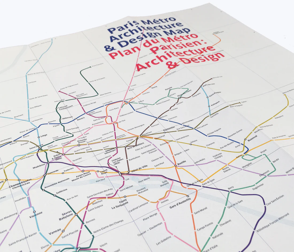
Curated by transport design historian and broadcaster Mark Ovenden, with original photography by Nigel Green, this two-sided cartographic guide is an original and fascinating insight into architecture and graphic design for transport lovers, students of design and anyone interested in the history of Paris. The guide includes a geographical Metro map with featured stations marked, with corresponding photography and details on the reverse along with tips for where to find unique and unusual signage, ornamentation, architecture and more.
With all eyes on Paris right now, we thought it was a good time to look at this map from our Edward Stanford Cartographic Collection archive. The title reads; ‘Stanford’s map of the environs of Paris shewing the fortifications.’ You can see the fortifications in pink and notice how they form a ring around the old city wall.
It is dated September 1st 1870 which is just a couple months after the Franco-Prussian War began.
The Eiffel Tower wasn’t erected for another nineteen years. In this close-up, you can see the space at the Chaps de Mars where the iconic landmark now stands.