History of World Trade in Maps, Trade and Diplomacy

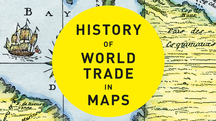
A brand new book gracing the shelves at Stanfords is Philip Parker’s History of World Trade in Maps. In this beautiful book, more than 70 maps give a visual representation of the history of World Commerce, accompanied by text which tells the extraordinary story of the merchants, adventurers, middle-men and monarchs who bought, sold, explored and fought in search of profit and power. The maps are all works of art, witnesses to history, and have a fascinating story to tell.

To celebrate the launch of his new book, we asked Philip to write this blog post to give us all a taster of what we can expect:

Trade and Diplomacy by Philip Parker

In an age when trade negotiations – or the lack of them – seem to degenerate into political point-scoring or abstruse technical arguments over the cocoa content of chocolate – it is easy to forget that without trade, our way of life would collapse. Every country, even North Korea, has to trade the goods it can produce in exchange for those it needs but cannot produce. A trading advantage can be gained by a reputation for quality, specialization, sharp-tongued merchants or skill in spotting shortages. Above all, however, diplomacy acts as a multiplier of trading success.

Continue reading History of World Trade in Maps, Trade and Diplomacy

Great Trees of London Map

New Map Celebrates London’s Remarkable Trees

Great Trees of London Map  is a new map by Blue Crow Media. This two-sided guide map reveals highlights from London’s uniquely diverse urban forest. Featuring rare species, magnificent English oaks, an ancient, perhaps 2,000-year-old, yew and the finest flowering cherries, this selection of 50 trees spans from Kew Gardens to Greenwich Park, and Tottenham to Brixton. The map includes photography, an introduction and descriptions by Paul Wood, the author of London is a Forest and London’s Street Trees: A Field Guide to the Urban Forest.

Continue reading Great Trees of London Map

THIS MAP ROCKS!

The Beatles, The Rolling Stones, The Stone Roses, The Clash, Oasis, Tom Jones Chaz and Dave……the list goes on… and on. Great Britain has raised a few musical greats over the years and it’s also given them lots of great places to play including amazing music festivals and live music venues. This Strumpshaw, Tincleton & Giggleswick’s Great British Music Map covers a lot of music history from the well known to the slightly obscure. Continue reading THIS MAP ROCKS!

The Art of Cartographics: Designing the Modern Map

We’ve seen so many different types of cartography in our time. From the archive replicas in our map room to illustrated maps by new artists. It’s so interesting to see how it is evolving as an art and how different people interpret maps differently. The Art of Cartographics is a collection of maps that showcases the most creative and interesting design projects from around the world. It features geographical maps, fictional maps and fresh and innovative approaches to cultural, economic and political maps. Here is a glimpse of what’s inside: Continue reading The Art of Cartographics: Designing the Modern Map

Mappy Monday: Earth from Space

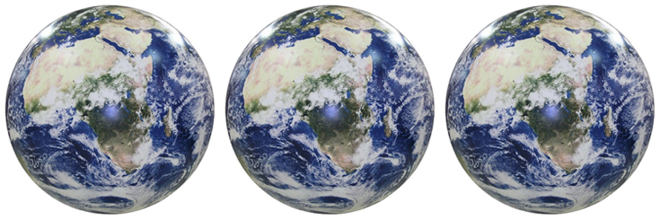
This is a favourite new addition to our galaxy of globes (yes, we decided that the collective noun for globes is a galaxy).

Using NASA satellite images of Earth from space, this inflatable globe is unlike the physical and political globes we are used to seeing. Just look at the swirling atmospheric cloud cover. Continue reading Mappy Monday: Earth from Space

Mercator vs Peters. The battle of projections

There was some big news in the map world last week as schools in Boston began to replace Mercator projection maps for the more proportionally accurate Peters projection (read the full article here). Continue reading Mercator vs Peters. The battle of projections